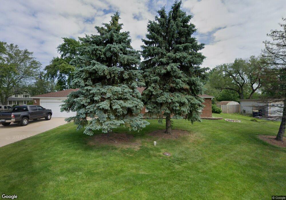
1165 Aspen St Hoffman Estates, IL 60169
Woodfield NeighborhoodEstimated Value: $427,000 - $603,000
--
Bed
4
Baths
2,686
Sq Ft
$195/Sq Ft
Est. Value
About This Home
This home is located at 1165 Aspen St, Hoffman Estates, IL 60169 and is currently estimated at $524,398, approximately $195 per square foot. 1165 Aspen St is a home located in Cook County with nearby schools including Fairview Elementary School, Helen Keller Junior High School, and J B Conant High School.
Ownership History
Date
Name
Owned For
Owner Type
Purchase Details
Closed on
Sep 26, 2008
Sold by
North Star Trust Company
Bought by
Carbery James R and Carbery Parsla S
Current Estimated Value
Home Financials for this Owner
Home Financials are based on the most recent Mortgage that was taken out on this home.
Original Mortgage
$281,000
Interest Rate
4.96%
Mortgage Type
New Conventional
Purchase Details
Closed on
Oct 13, 1994
Sold by
American National Bk & Tr Co Of Chicago
Bought by
Harris Bank Roselle
Create a Home Valuation Report for This Property
The Home Valuation Report is an in-depth analysis detailing your home's value as well as a comparison with similar homes in the area
Home Values in the Area
Average Home Value in this Area
Purchase History
| Date | Buyer | Sale Price | Title Company |
|---|---|---|---|
| Carbery James R | -- | First American Title Ins Co | |
| Harris Bank Roselle | -- | -- |
Source: Public Records
Mortgage History
| Date | Status | Borrower | Loan Amount |
|---|---|---|---|
| Previous Owner | Carbery James R | $281,000 |
Source: Public Records
Tax History
| Year | Tax Paid | Tax Assessment Tax Assessment Total Assessment is a certain percentage of the fair market value that is determined by local assessors to be the total taxable value of land and additions on the property. | Land | Improvement |
|---|---|---|---|---|
| 2025 | $12,178 | $52,000 | $16,905 | $35,095 |
| 2024 | $12,178 | $38,669 | $9,660 | $29,009 |
| 2023 | $11,755 | $43,000 | $9,660 | $33,340 |
| 2022 | $11,755 | $43,000 | $9,660 | $33,340 |
| 2021 | $8,773 | $29,516 | $10,263 | $19,253 |
| 2020 | $8,643 | $29,516 | $10,263 | $19,253 |
| 2019 | $8,705 | $33,164 | $10,263 | $22,901 |
| 2018 | $9,287 | $31,917 | $9,056 | $22,861 |
| 2017 | $9,141 | $31,917 | $9,056 | $22,861 |
| 2016 | $8,765 | $31,917 | $9,056 | $22,861 |
| 2015 | $9,214 | $28,688 | $7,848 | $20,840 |
| 2014 | $9,051 | $28,688 | $7,848 | $20,840 |
| 2013 | $8,820 | $28,688 | $7,848 | $20,840 |
Source: Public Records
Map
Nearby Homes
- 410 Aster Ln
- 640 Sturnbridge Ln
- 848 Newbury Ct
- 1075 Apricot St
- 745 Whalom Ln Unit 3A1
- 75 Carthage Ln
- 829 Linden Cir
- 829 Heatherstone Dr
- 132 White Oak Ct Unit 5
- 601 Fairbanks Ct Unit V2
- 75 Kristin Cir Unit 123
- 236 N Waterford Dr Unit 11B
- 988 Butter Creek Ct Unit 4ND
- 368 Willow Tree Ct
- 1750 Sleepy Hollow Ct Unit 3
- 367 Juniper Tree Ct Unit 3
- 631 Schooner Point Unit 106B
- 1570 Jefferson Rd
- 860 Olive St
- 200 W Thacker St
Your Personal Tour Guide
Ask me questions while you tour the home.