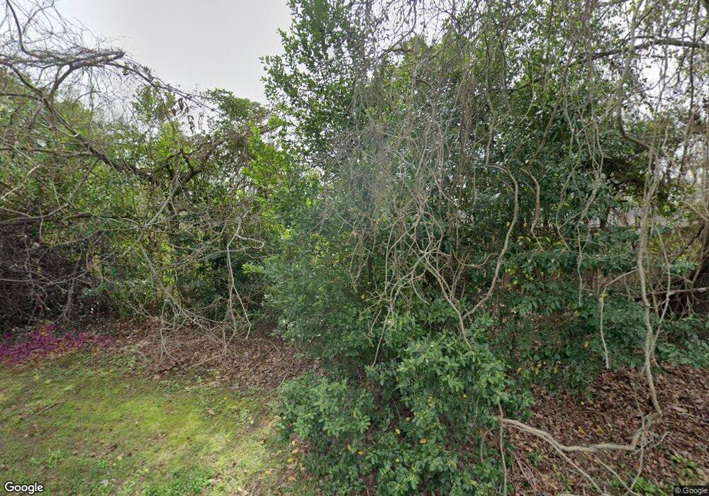
1165 Baird Dr Baton Rouge, LA 70808
Highlands/Perkins NeighborhoodEstimated Value: $367,684 - $600,000
--
Bed
--
Bath
3,369
Sq Ft
$144/Sq Ft
Est. Value
About This Home
This home is located at 1165 Baird Dr, Baton Rouge, LA 70808 and is currently estimated at $486,671, approximately $144 per square foot. 1165 Baird Dr is a home located in East Baton Rouge Parish with nearby schools including Magnolia Woods Elementary School, Glasgow Middle School, and Mckinley Senior High School.
Ownership History
Date
Name
Owned For
Owner Type
Purchase Details
Closed on
Mar 19, 2024
Sold by
Yancey Carolyn Kay
Bought by
Carolyn Kay Yancey Living Trust
Current Estimated Value
Purchase Details
Closed on
Sep 18, 2023
Sold by
East Baton Rouge Parish School Board
Bought by
Department Of Transportation And Development
Purchase Details
Closed on
Sep 12, 2023
Sold by
Fourth District Missionary Baptist Assoc
Bought by
Department Of Transportation And Development
Purchase Details
Closed on
Jun 29, 2020
Sold by
Yancey Richard C
Bought by
Yancey Carolyn Kay
Create a Home Valuation Report for This Property
The Home Valuation Report is an in-depth analysis detailing your home's value as well as a comparison with similar homes in the area
Home Values in the Area
Average Home Value in this Area
Purchase History
| Date | Buyer | Sale Price | Title Company |
|---|---|---|---|
| Carolyn Kay Yancey Living Trust | -- | None Listed On Document | |
| Department Of Transportation And Development | -- | None Listed On Document | |
| Department Of Transportation And Development | -- | None Listed On Document | |
| Department Of Transportation And Development | $250 | None Listed On Document | |
| Yancey Carolyn Kay | -- | None Available |
Source: Public Records
Tax History Compared to Growth
Tax History
| Year | Tax Paid | Tax Assessment Tax Assessment Total Assessment is a certain percentage of the fair market value that is determined by local assessors to be the total taxable value of land and additions on the property. | Land | Improvement |
|---|---|---|---|---|
| 2024 | $1,443 | $12,320 | $1,120 | $11,200 |
| 2023 | $1,443 | $11,000 | $1,000 | $10,000 |
| 2022 | $1,313 | $11,000 | $1,000 | $10,000 |
| 2021 | $1,283 | $11,000 | $1,000 | $10,000 |
| 2020 | $1,275 | $11,000 | $1,000 | $10,000 |
| 2019 | $1,332 | $11,000 | $1,000 | $10,000 |
| 2018 | $1,316 | $11,000 | $1,000 | $10,000 |
| 2017 | $1,316 | $11,000 | $1,000 | $10,000 |
| 2016 | $505 | $11,000 | $1,000 | $10,000 |
| 2015 | $507 | $11,000 | $1,000 | $10,000 |
| 2014 | $505 | $11,000 | $1,000 | $10,000 |
| 2013 | -- | $11,000 | $1,000 | $10,000 |
Source: Public Records
Map
Nearby Homes
- 1605 Applewood Rd
- 1431 Applewood Rd
- 1758 Applewood Rd
- 1839 Applewood Rd
- 1342 Applewood Rd
- 640 Maxine Dr
- 7311 Japonica Ct
- 212 Magnolia Wood Ave
- 124 Magnolia Wood Ave
- 1733 Seawolf Dr
- 1715 Seawolf Dr
- 859 Maxine Dr
- 8932 Southlawn Dr
- 1824 Longfin Dr
- 1648 Mary Evers Dr
- 7649 Silverside Cove Dr
- 9017 Stonecroft Ave
- 578 Baird Dr
- 935 Daventry Dr
- 7615 Whitetip Ave
- Tract W-1 Thoreau Dr
- 1102 Thoreau Dr
- 1122 Thoreau Dr
- 1162 Baird Dr
- 1261 Thoreau Dr
- 1174 Baird Dr
- 1251 Thoreau Dr
- 1150 Baird Dr
- 1144 Baird Dr
- 1184 Baird Dr
- 1241 Thoreau Dr
- 1138 Baird Dr
- 1231 Thoreau Dr
- 1124 Baird Dr
- 1221 Thoreau Dr
- 1211 Thoreau Dr
- 1088 Baird Dr
- 1088 Baird Dr
- 1074 Baird Dr
- 1212 Baird Dr
