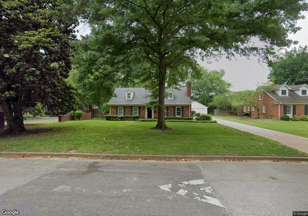
1165 Fairmeadow Rd Memphis, TN 38117
Colonial Acres NeighborhoodEstimated Value: $352,000 - $389,000
4
Beds
2
Baths
2,972
Sq Ft
$122/Sq Ft
Est. Value
About This Home
This home is located at 1165 Fairmeadow Rd, Memphis, TN 38117 and is currently estimated at $362,746, approximately $122 per square foot. 1165 Fairmeadow Rd is a home located in Shelby County with nearby schools including Sherwood Elementary School, Colonial Middle, and Overton High.
Ownership History
Date
Name
Owned For
Owner Type
Purchase Details
Closed on
May 19, 2004
Sold by
Troutman Larry D and Troutman Susan L
Bought by
Harbor Michael C and Harbor Valerie P
Current Estimated Value
Home Financials for this Owner
Home Financials are based on the most recent Mortgage that was taken out on this home.
Original Mortgage
$192,800
Interest Rate
5.77%
Mortgage Type
Purchase Money Mortgage
Purchase Details
Closed on
Oct 25, 2002
Sold by
Tate Rex M and Tate Ellen K
Bought by
Troutman Larry D and Troutman Susan L
Home Financials for this Owner
Home Financials are based on the most recent Mortgage that was taken out on this home.
Original Mortgage
$168,000
Interest Rate
5.93%
Create a Home Valuation Report for This Property
The Home Valuation Report is an in-depth analysis detailing your home's value as well as a comparison with similar homes in the area
Home Values in the Area
Average Home Value in this Area
Purchase History
| Date | Buyer | Sale Price | Title Company |
|---|---|---|---|
| Harbor Michael C | $241,000 | -- | |
| Troutman Larry D | $210,000 | -- |
Source: Public Records
Mortgage History
| Date | Status | Borrower | Loan Amount |
|---|---|---|---|
| Closed | Harbor Michael C | $192,800 | |
| Previous Owner | Troutman Larry D | $168,000 |
Source: Public Records
Tax History Compared to Growth
Tax History
| Year | Tax Paid | Tax Assessment Tax Assessment Total Assessment is a certain percentage of the fair market value that is determined by local assessors to be the total taxable value of land and additions on the property. | Land | Improvement |
|---|---|---|---|---|
| 2025 | $2,657 | $88,350 | $17,950 | $70,400 |
| 2024 | $2,657 | $78,375 | $17,950 | $60,425 |
| 2023 | $4,774 | $78,375 | $17,950 | $60,425 |
| 2022 | $4,774 | $78,375 | $17,950 | $60,425 |
| 2021 | $4,830 | $78,375 | $17,950 | $60,425 |
| 2020 | $3,398 | $46,900 | $16,550 | $30,350 |
| 2019 | $3,398 | $46,900 | $16,550 | $30,350 |
| 2018 | $3,398 | $46,900 | $16,550 | $30,350 |
| 2017 | $1,928 | $46,900 | $16,550 | $30,350 |
| 2016 | $2,083 | $47,675 | $0 | $0 |
| 2014 | $2,083 | $47,675 | $0 | $0 |
Source: Public Records
Map
Nearby Homes
- 4468 Cherrydale Rd
- 4474 Cherrydale Rd
- 1220 Perkins Terrace
- 1086 Perkins Terrace
- 1160 W Perkins Rd
- 4491 Fair Meadow Rd
- 1260 Cherrydale Cove
- 1231 Cherrydale Cove
- 4576 Amboy Rd
- 1218 Merrycrest Dr
- 1229 S Perkins Rd
- 1305 Cherry Rd
- 1263 S Perkins Rd
- 4506 Verne Rd
- 4322 Rhodes Ave
- 4539 Kings Park Rd
- 1258 S Perkins Rd
- 4305 Haverhill Rd
- 4502 Quince Rd
- 1014 S Perkins Rd
- 1159 Fairmeadow Rd
- 1185 Fairmeadow Rd
- 4507 Dee Rd
- 1141 Fairmeadow Rd
- 1184 Fairmeadow Rd
- 1141 Fair Meadow Rd
- 4517 Dee Rd
- 1205 Fairmeadow Rd
- 1131 Fairmeadow Rd
- 1142 Fairmeadow Rd
- 4525 Dee Rd
- 1200 Fairmeadow Rd
- 4533 Dee Rd
- 4440 Tall Trees Cir
- 1121 Fairmeadow Rd
- 1130 Fairmeadow Rd
- 4440 Tall Trees Cir
- 4528 Dee Rd
- 1221 Fairmeadow Rd
- 4541 Dee Rd