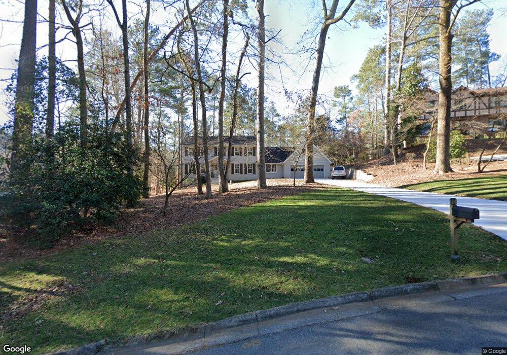
1165 Northshore Dr Unit 1 Roswell, GA 30076
Martin's Landing NeighborhoodEstimated Value: $667,000 - $794,000
4
Beds
4
Baths
3,241
Sq Ft
$223/Sq Ft
Est. Value
About This Home
This home is located at 1165 Northshore Dr Unit 1, Roswell, GA 30076 and is currently estimated at $723,330, approximately $223 per square foot. 1165 Northshore Dr Unit 1 is a home located in Fulton County with nearby schools including Jackson Elementary School, Holcomb Bridge Middle School, and Centennial High School.
Ownership History
Date
Name
Owned For
Owner Type
Purchase Details
Closed on
Oct 31, 2006
Sold by
Stanley Lyndall T and Stanley Bolling C
Bought by
Westerfield Anthony S and Westerfield Alice G
Current Estimated Value
Home Financials for this Owner
Home Financials are based on the most recent Mortgage that was taken out on this home.
Original Mortgage
$210,000
Outstanding Balance
$124,914
Interest Rate
6.31%
Mortgage Type
New Conventional
Estimated Equity
$598,416
Create a Home Valuation Report for This Property
The Home Valuation Report is an in-depth analysis detailing your home's value as well as a comparison with similar homes in the area
Home Values in the Area
Average Home Value in this Area
Purchase History
| Date | Buyer | Sale Price | Title Company |
|---|---|---|---|
| Westerfield Anthony S | $370,000 | -- |
Source: Public Records
Mortgage History
| Date | Status | Borrower | Loan Amount |
|---|---|---|---|
| Open | Westerfield Anthony S | $210,000 |
Source: Public Records
Tax History Compared to Growth
Tax History
| Year | Tax Paid | Tax Assessment Tax Assessment Total Assessment is a certain percentage of the fair market value that is determined by local assessors to be the total taxable value of land and additions on the property. | Land | Improvement |
|---|---|---|---|---|
| 2025 | $677 | $226,600 | $40,200 | $186,400 |
| 2023 | $5,921 | $209,760 | $54,760 | $155,000 |
| 2022 | $2,950 | $191,600 | $33,320 | $158,280 |
| 2021 | $3,455 | $164,160 | $28,080 | $136,080 |
| 2020 | $3,516 | $162,160 | $27,720 | $134,440 |
| 2019 | $530 | $149,800 | $26,440 | $123,360 |
| 2018 | $3,668 | $146,240 | $25,800 | $120,440 |
| 2017 | $2,581 | $100,400 | $17,720 | $82,680 |
| 2016 | $2,580 | $100,400 | $17,720 | $82,680 |
| 2015 | $3,138 | $100,400 | $17,720 | $82,680 |
| 2014 | $2,687 | $100,400 | $17,720 | $82,680 |
Source: Public Records
Map
Nearby Homes
- 1140 Northshore Dr
- 1265 Northshore Dr
- 1045 Martin Ridge Rd
- 0 Riverside Rd Unit 7421838
- 0 Riverside Rd Unit 10339509
- 300 Cedar Knoll Ct
- 230 Lakeview Ridge E
- 130 Lakeview Ridge W
- 9470 Hillside Dr
- 2020 Rivermont Way
- 263 Quail Run
- 227 Quail Run
- 309 Quail Run
- 311 Quail Run
- 324 Teal Ct
- 406 Teal Ct
- 610 Trailmore Place
- 2104 Queen Anne Ct
- 645 Trailmore Place
- 1175 Northshore Dr Unit 1
- 1185 Northshore Dr
- 1145 Northshore Dr Unit 1
- 9340 Martins Lake Dr Unit 1
- 1150 Northshore Dr
- 9350 Martins Lake Dr
- 1180 Northshore Dr
- 0 Martins Lake Dr
- 9330 Martins Lake Dr
- 1135 Northshore Dr
- 9320 Martins Lake Dr
- 1130 Northshore Dr Unit 1
- 9345 Martins Lake Dr
- 1115 Northshore Dr
- 0 Ridge Point Close
- 1190 Northshore Dr Unit 1
- 1195 Northshore Dr Unit 1
- 165 Ridge Point Close
- 9310 Martins Lake Dr Unit 1
- 1120 Northshore Dr Unit 1