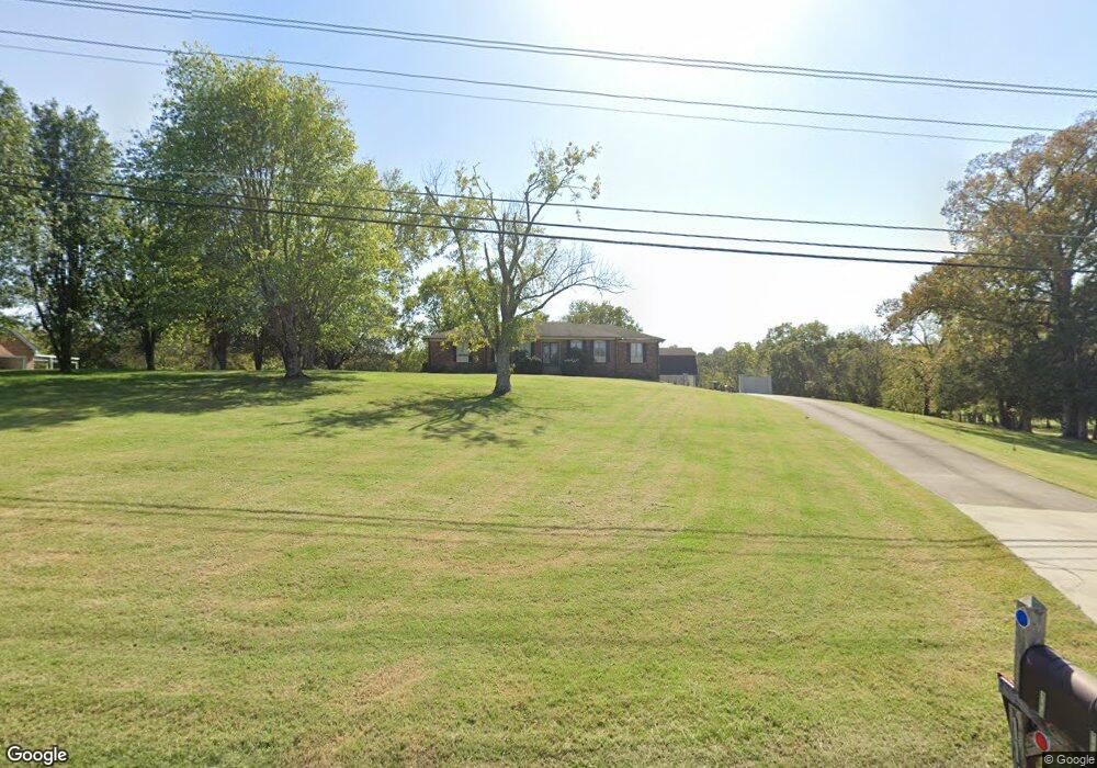
1165 W Division St Mount Juliet, TN 37122
Estimated Value: $576,000 - $809,377
--
Bed
2
Baths
1,841
Sq Ft
$358/Sq Ft
Est. Value
About This Home
This home is located at 1165 W Division St, Mount Juliet, TN 37122 and is currently estimated at $659,094, approximately $358 per square foot. 1165 W Division St is a home located in Wilson County with nearby schools including Mt. Juliet Elementary School, Mt. Juliet Middle School, and Green Hill High School.
Ownership History
Date
Name
Owned For
Owner Type
Purchase Details
Closed on
Jun 13, 2012
Sold by
Pulley Jo Doris
Bought by
Ragland Jefferey and Ragland Danita
Current Estimated Value
Home Financials for this Owner
Home Financials are based on the most recent Mortgage that was taken out on this home.
Original Mortgage
$226,100
Outstanding Balance
$156,695
Interest Rate
3.83%
Mortgage Type
Commercial
Estimated Equity
$502,399
Purchase Details
Closed on
Nov 12, 2004
Sold by
Pascal Nannie L
Bought by
Pascal Nannie L Rev Living Tru
Purchase Details
Closed on
Dec 25, 1986
Bought by
Pascal Joe
Create a Home Valuation Report for This Property
The Home Valuation Report is an in-depth analysis detailing your home's value as well as a comparison with similar homes in the area
Home Values in the Area
Average Home Value in this Area
Purchase History
| Date | Buyer | Sale Price | Title Company |
|---|---|---|---|
| Ragland Jefferey | $238,000 | -- | |
| Pulley Jo Doris | -- | -- | |
| Pascal Nannie L Rev Living Tru | -- | -- | |
| Pascal Joe | -- | -- |
Source: Public Records
Mortgage History
| Date | Status | Borrower | Loan Amount |
|---|---|---|---|
| Open | Pulley Jo Doris | $226,100 | |
| Closed | Ragland Jefferey | $226,100 |
Source: Public Records
Tax History Compared to Growth
Tax History
| Year | Tax Paid | Tax Assessment Tax Assessment Total Assessment is a certain percentage of the fair market value that is determined by local assessors to be the total taxable value of land and additions on the property. | Land | Improvement |
|---|---|---|---|---|
| 2024 | $2,286 | $119,775 | $55,125 | $64,650 |
| 2022 | $2,203 | $115,425 | $55,125 | $60,300 |
| 2021 | $2,330 | $115,425 | $55,125 | $60,300 |
| 2020 | $1,984 | $115,425 | $55,125 | $60,300 |
| 2019 | $246 | $73,900 | $33,525 | $40,375 |
| 2018 | $1,984 | $73,900 | $33,525 | $40,375 |
| 2017 | $1,984 | $73,900 | $33,525 | $40,375 |
| 2016 | $1,984 | $73,900 | $33,525 | $40,375 |
| 2015 | $2,047 | $73,900 | $33,525 | $40,375 |
| 2014 | $1,841 | $66,464 | $0 | $0 |
Source: Public Records
Map
Nearby Homes
- 1013 Brookstone Blvd
- 1520 Brookstone Cir
- 493 Page Dr
- 288 Page Dr
- 2202 Dinah Ct
- 506 Page Dr
- 604 Georgian Way
- 1229 Mount Vernon Ln
- 1120 Brookstone Blvd
- 1202 Mount Vernon Ln
- 271 Page Dr
- 2001 Lynnhaven Ct
- 3890 W Division St
- 2006 Lynnhaven Ct
- 1105 Camden Cir
- 205 Channell Ct
- 222 Jackson Trail
- 203 Channell Ct
- 201 Channell Ct
- 102 Crosby Dr
- 1125 W Division St
- 1245 W Division St
- 1040 W Division St
- 1275 W Division St
- 2106 Brookstone Dr
- 2104 Brookstone Dr
- 2108 Brookstone Dr
- 2102 Brookstone Dr
- 1150 W Division St
- 2110 Brookstone Dr
- 103 Pascal Dr
- 101 Pascal Dr
- 2112 Brookstone Dr
- 105 Pascal Dr
- 2114 Brookstone Dr
- 2105 Brookstone Dr
- 1500 Brookstone Cir
- 2103 Brookstone Dr
- 2098 Brookstone Dr
- 107 Pascal Dr