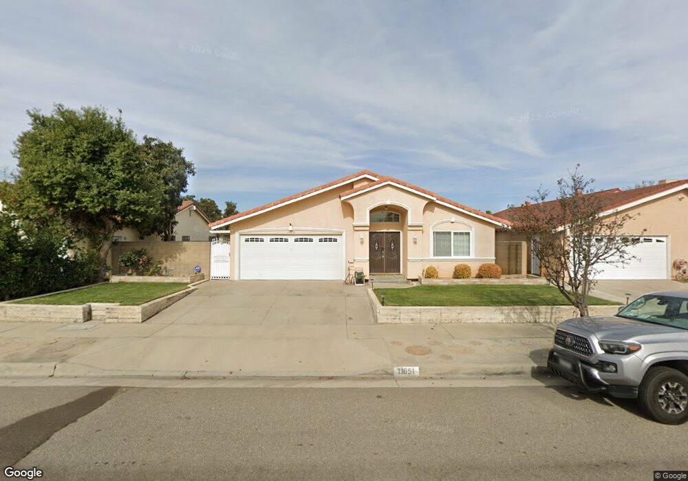
11651 Buford St Cerritos, CA 90703
Estimated Value: $1,086,903 - $1,175,000
4
Beds
2
Baths
1,870
Sq Ft
$603/Sq Ft
Est. Value
About This Home
This home is located at 11651 Buford St, Cerritos, CA 90703 and is currently estimated at $1,126,976, approximately $602 per square foot. 11651 Buford St is a home located in Los Angeles County with nearby schools including Bragg Elementary School, Haskell Stem Academy, and Gahr High School.
Ownership History
Date
Name
Owned For
Owner Type
Purchase Details
Closed on
Nov 7, 1994
Sold by
Cme Group Ltd
Bought by
Kyin William Kock
Current Estimated Value
Home Financials for this Owner
Home Financials are based on the most recent Mortgage that was taken out on this home.
Original Mortgage
$156,800
Interest Rate
8.91%
Purchase Details
Closed on
Oct 21, 1994
Sold by
Chung Chun Mo and Chung Jung Ja
Bought by
Cme Group Ltd
Home Financials for this Owner
Home Financials are based on the most recent Mortgage that was taken out on this home.
Original Mortgage
$156,800
Interest Rate
8.91%
Create a Home Valuation Report for This Property
The Home Valuation Report is an in-depth analysis detailing your home's value as well as a comparison with similar homes in the area
Home Values in the Area
Average Home Value in this Area
Purchase History
| Date | Buyer | Sale Price | Title Company |
|---|---|---|---|
| Kyin William Kock | $196,000 | Western Cities Title | |
| Cme Group Ltd | $215,000 | World Title Company |
Source: Public Records
Mortgage History
| Date | Status | Borrower | Loan Amount |
|---|---|---|---|
| Closed | Kyin William Kock | $156,800 |
Source: Public Records
Tax History
| Year | Tax Paid | Tax Assessment Tax Assessment Total Assessment is a certain percentage of the fair market value that is determined by local assessors to be the total taxable value of land and additions on the property. | Land | Improvement |
|---|---|---|---|---|
| 2025 | $4,916 | $396,799 | $206,085 | $190,714 |
| 2024 | $4,916 | $389,020 | $202,045 | $186,975 |
| 2023 | $4,760 | $381,393 | $198,084 | $183,309 |
| 2022 | $4,687 | $373,915 | $194,200 | $179,715 |
| 2021 | $4,573 | $366,585 | $190,393 | $176,192 |
| 2019 | $4,468 | $355,714 | $184,747 | $170,967 |
| 2018 | $4,096 | $348,740 | $181,125 | $167,615 |
| 2016 | $3,920 | $335,200 | $174,093 | $161,107 |
| 2015 | $3,870 | $330,166 | $171,478 | $158,688 |
| 2014 | $3,797 | $323,699 | $168,119 | $155,580 |
Source: Public Records
Map
Nearby Homes
- 19127 Pioneer Blvd Unit 76
- 19127 Pioneer Blvd Unit 9
- 19127 Pioneer Blvd Unit 73
- 19127 Pioneer Blvd Unit 32
- 19127 Pioneer Blvd Unit 30
- 11620 187th St
- 11702 Christy St
- 19741 Sally Ave
- 19616 Mapes Ave
- 20020 Alburtis Ave
- 11975 Gonsalves St
- 12036 Wendy St
- 12133 Candor Dr
- 12143 Phoenix Dr
- 19202 Benfield Ave
- 19127 Allingham Ave
- 12233 Academy Way
- 17920 Gard Ave
- 11003 Bradford Cir
- 17888 Alburtis Ave
- 11657 Buford St
- 11645 Buford St
- 11639 Buford St
- 11701 Buford St
- 11654 Buford St
- 11646 Buford St
- 11633 Buford St
- 11707 Buford St
- 11640 Buford St
- 11702 Buford St
- 19313 Alburtis Ave
- 11625 Buford St
- 11713 Buford St
- 11634 Buford St
- 11710 Buford St
- 11618 Buford St
- 19312 Alburtis Ave
- 11615 Buford St
- 11719 Buford St
- 11645 Bos St
Your Personal Tour Guide
Ask me questions while you tour the home.