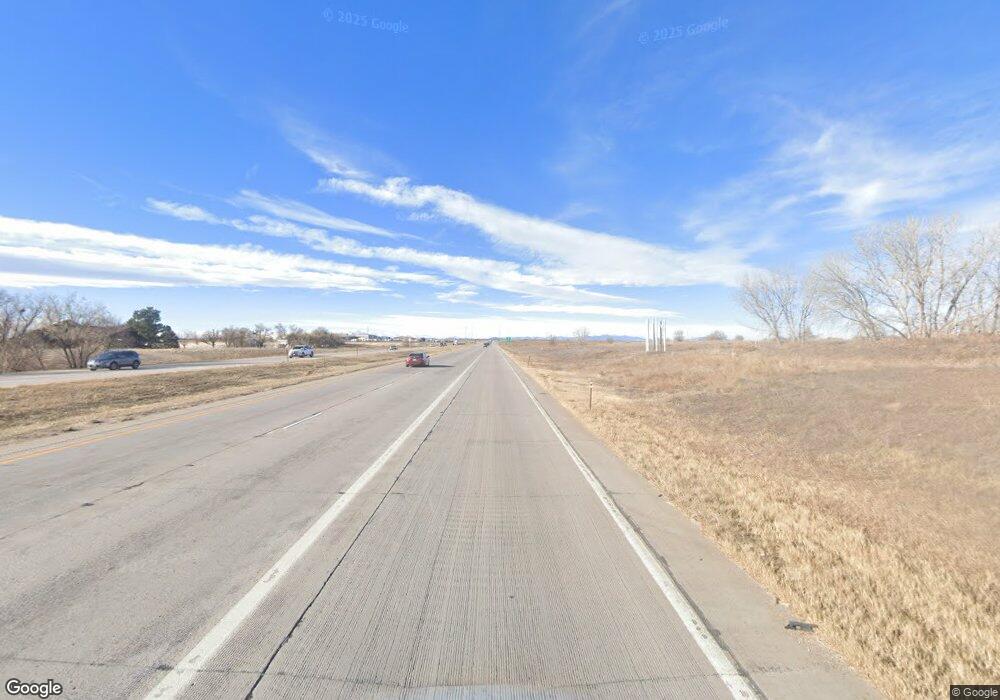
11651 Us Highway 34 Greeley, CO 80634
Estimated Value: $386,000 - $402,000
3
Beds
2
Baths
1,360
Sq Ft
$290/Sq Ft
Est. Value
About This Home
This home is located at 11651 Us Highway 34, Greeley, CO 80634 and is currently estimated at $393,942, approximately $289 per square foot. 11651 Us Highway 34 is a home located in Weld County with nearby schools including Tozer Elementary School, Harloe Elementary School, and Mountain View Elementary School.
Ownership History
Date
Name
Owned For
Owner Type
Purchase Details
Closed on
Nov 7, 2018
Sold by
Abbott Patrick C
Bought by
Mallard Joseph E
Current Estimated Value
Home Financials for this Owner
Home Financials are based on the most recent Mortgage that was taken out on this home.
Original Mortgage
$25,535
Outstanding Balance
$22,317
Interest Rate
4.7%
Mortgage Type
VA
Estimated Equity
$371,625
Purchase Details
Closed on
Jul 10, 1997
Sold by
Andrews James E and Andrews Charlotte A
Bought by
Andrews James E
Home Financials for this Owner
Home Financials are based on the most recent Mortgage that was taken out on this home.
Original Mortgage
$64,500
Interest Rate
7.85%
Create a Home Valuation Report for This Property
The Home Valuation Report is an in-depth analysis detailing your home's value as well as a comparison with similar homes in the area
Home Values in the Area
Average Home Value in this Area
Purchase History
| Date | Buyer | Sale Price | Title Company |
|---|---|---|---|
| Mallard Joseph E | $250,000 | Land Title Guarantee Co | |
| Andrews James E | -- | -- |
Source: Public Records
Mortgage History
| Date | Status | Borrower | Loan Amount |
|---|---|---|---|
| Open | Mallard Joseph E | $25,535 | |
| Previous Owner | Andrews James E | $64,500 |
Source: Public Records
Tax History Compared to Growth
Tax History
| Year | Tax Paid | Tax Assessment Tax Assessment Total Assessment is a certain percentage of the fair market value that is determined by local assessors to be the total taxable value of land and additions on the property. | Land | Improvement |
|---|---|---|---|---|
| 2025 | $983 | $21,830 | $6,360 | $15,470 |
| 2024 | $983 | $21,830 | $6,360 | $15,470 |
| 2023 | $894 | $15,150 | $5,960 | $9,190 |
| 2022 | $1,314 | $14,850 | $5,720 | $9,130 |
| 2021 | $1,219 | $15,270 | $5,880 | $9,390 |
| 2020 | $1,089 | $13,940 | $5,780 | $8,160 |
| 2019 | $1,079 | $13,940 | $5,780 | $8,160 |
| 2018 | $1,156 | $13,970 | $4,720 | $9,250 |
| 2017 | $1,173 | $13,970 | $4,720 | $9,250 |
| 2016 | $899 | $10,830 | $4,330 | $6,500 |
| 2015 | $828 | $10,830 | $4,330 | $6,500 |
Source: Public Records
Map
Nearby Homes
- 9851 W 10th St
- The Red Rock Plan at Lake Bluff
- The Flatiron Plan at Lake Bluff
- The Timberline Plan at Lake Bluff
- The Cottonwood Plan at Lake Bluff
- The Maroon Bell Plan at Lake Bluff
- 616 98th Ave
- 628 98th Ave
- 624 98th Ave
- 612 98th Ave
- 608 98th Ave
- 604 98th Ave
- 529 97th Ave
- 548 97th Ave
- 521 97th Ave
- 537 97th Ave
- 536 97th Ave
- 532 97th Ave
- 524 97th Ave
- 1105 103rd Ave
- 9873 W 10th St
- 9825 10th St
- 9873 10th St
- 9873 W 10th St Unit A
- 9937 10th St
- 9955 10th St
- 11555 W 34 Hwy
- 0 Coming Soon Off 95th Ave Unit 36722963
- 0 Coming Soon Off 95th Ave Unit 36722958
- 0 Coming Soon Off 95th Ave Unit 36722954
- 0 Coming Soon Off 95th Ave Unit 36722948
- 630 97th Ave
- 626 97th Ave
- 615 97th Ave
- 1005 95th Ave
- 0 95th Ave
- 1100 101st Avenue Ct
- 1104 101st Avenue Ct
- 1108 101st Avenue Ct
- 10101 W 11th St
