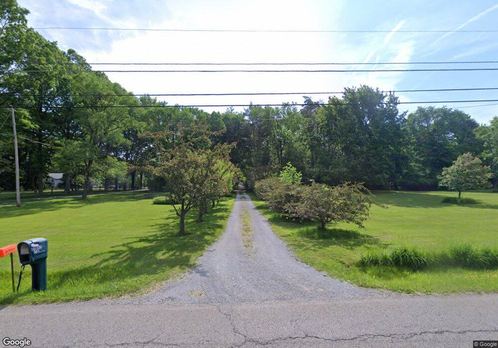
11653 New Buffalo Rd North Lima, OH 44452
Estimated Value: $356,808 - $395,000
4
Beds
3
Baths
2,280
Sq Ft
$164/Sq Ft
Est. Value
About This Home
This home is located at 11653 New Buffalo Rd, North Lima, OH 44452 and is currently estimated at $373,952, approximately $164 per square foot. 11653 New Buffalo Rd is a home located in Mahoning County with nearby schools including South Range Elementary School, South Range Middle School, and South Range High School.
Ownership History
Date
Name
Owned For
Owner Type
Purchase Details
Closed on
Apr 30, 2002
Sold by
Basile Dorothy and Basile Dorothy N
Bought by
Maraffa Thomas A and Maraffa Susan G
Current Estimated Value
Home Financials for this Owner
Home Financials are based on the most recent Mortgage that was taken out on this home.
Original Mortgage
$10,000
Interest Rate
7%
Mortgage Type
Credit Line Revolving
Purchase Details
Closed on
Sep 16, 1977
Bought by
Basile Eugene A and D N
Create a Home Valuation Report for This Property
The Home Valuation Report is an in-depth analysis detailing your home's value as well as a comparison with similar homes in the area
Home Values in the Area
Average Home Value in this Area
Purchase History
| Date | Buyer | Sale Price | Title Company |
|---|---|---|---|
| Maraffa Thomas A | $202,000 | -- | |
| Basile Eugene A | -- | -- |
Source: Public Records
Mortgage History
| Date | Status | Borrower | Loan Amount |
|---|---|---|---|
| Closed | Maraffa Thomas A | $10,000 |
Source: Public Records
Tax History Compared to Growth
Tax History
| Year | Tax Paid | Tax Assessment Tax Assessment Total Assessment is a certain percentage of the fair market value that is determined by local assessors to be the total taxable value of land and additions on the property. | Land | Improvement |
|---|---|---|---|---|
| 2024 | $4,238 | $87,070 | $20,210 | $66,860 |
| 2023 | $4,253 | $87,070 | $20,210 | $66,860 |
| 2022 | $4,300 | $76,490 | $18,610 | $57,880 |
| 2021 | $4,352 | $76,490 | $18,610 | $57,880 |
| 2020 | $4,371 | $76,490 | $18,610 | $57,880 |
| 2019 | $3,927 | $66,840 | $18,610 | $48,230 |
| 2018 | $3,875 | $66,840 | $18,610 | $48,230 |
| 2017 | $3,872 | $66,840 | $18,610 | $48,230 |
| 2016 | $3,615 | $60,790 | $17,130 | $43,660 |
| 2015 | $3,550 | $60,790 | $17,130 | $43,660 |
| 2014 | $3,590 | $60,790 | $17,130 | $43,660 |
| 2013 | $3,560 | $60,790 | $17,130 | $43,660 |
Source: Public Records
Map
Nearby Homes
- 11695 Basinger Rd
- 3555 W South Range Rd
- 11160 Detwiler Rd
- 0 W Pine Lake Rd
- 12977 South Ave
- 1482 Lake Front Blvd
- 12471 Columbiana Canfield Rd
- 11216 Market St
- 11200 Market St
- 12157 Columbiana Canfield Rd
- 9757 New Buffalo Rd
- 1190 Calla Rd W
- 11541 South Ave
- 0 Sharrott Rd Unit 5174987
- 9501 New Buffalo Rd
- 13752 Columbiana Canfield Rd
- 400 Calla Rd W
- 950 Country Manor Dr
- 1 W Calla Rd
- 0 W Middletown Rd
- 11651 New Buffalo Rd
- 11655 New Buffalo Rd
- 11735 New Buffalo Rd
- 11650 New Buffalo Rd
- 11781 New Buffalo Rd
- 11610 New Buffalo Rd
- 11696 New Buffalo Rd
- 11734 New Buffalo Rd
- 11821 New Buffalo Rd
- 11566 New Buffalo Rd
- 11764 New Buffalo Rd
- 11520 New Buffalo Rd
- 11911 New Buffalo Rd
- 11499 New Buffalo Rd
- 11794 New Buffalo Rd
- 11806 New Buffalo Rd
- 0 New Buffalo Rd Unit 3612770
- 0 New Buffalo Rd Unit 3801054
- 0 New Buffalo Rd Unit 5058838
- 0 New Buffalo Rd Unit 4345776