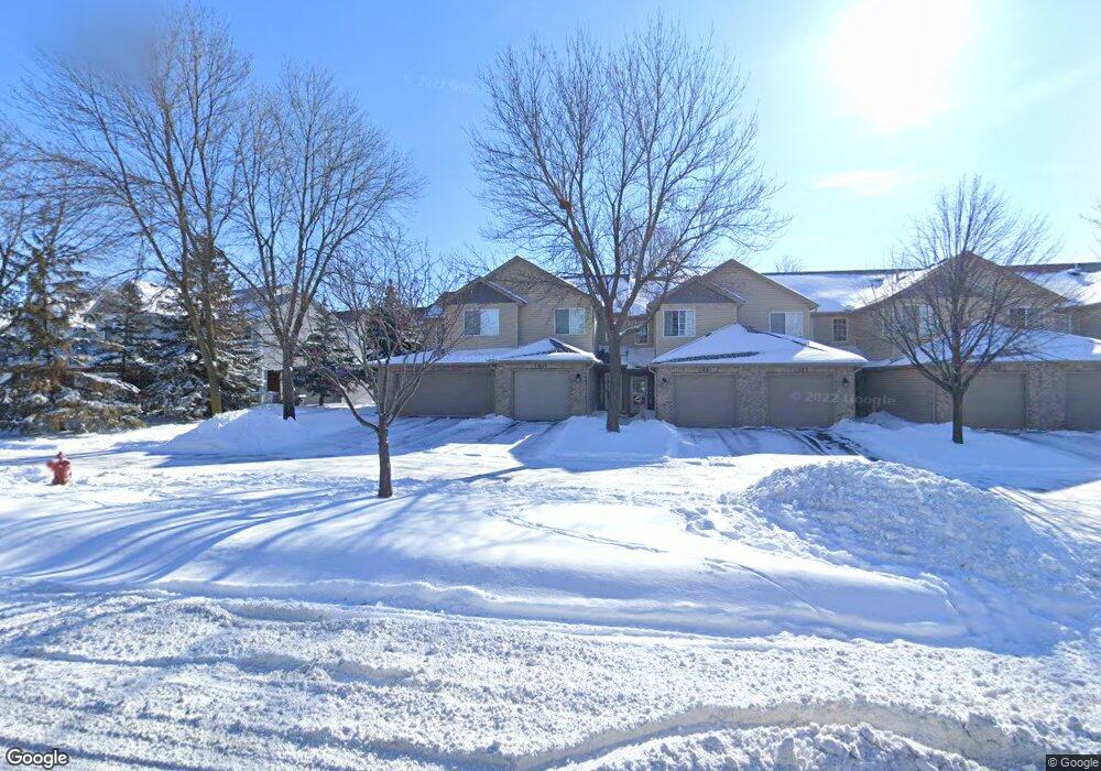
11659 Horizon Dr Burnsville, MN 55337
Estimated Value: $234,000 - $258,000
2
Beds
3
Baths
1,364
Sq Ft
$180/Sq Ft
Est. Value
About This Home
This home is located at 11659 Horizon Dr, Burnsville, MN 55337 and is currently estimated at $245,778, approximately $180 per square foot. 11659 Horizon Dr is a home located in Dakota County with nearby schools including William Byrne Elementary School, Burnsville High School, and Gateway STEM Academy.
Ownership History
Date
Name
Owned For
Owner Type
Purchase Details
Closed on
Jul 16, 2025
Sold by
State Of Minnesota
Bought by
City Of Burnsville
Current Estimated Value
Purchase Details
Closed on
Aug 25, 2005
Sold by
Kaden Mary
Bought by
Sowka Catherine M
Purchase Details
Closed on
Aug 12, 1999
Sold by
Quinn Amy M
Bought by
Kaden Mary K
Purchase Details
Closed on
Sep 26, 1997
Sold by
Town & Country Homes Inc
Bought by
Quinn Amy M
Create a Home Valuation Report for This Property
The Home Valuation Report is an in-depth analysis detailing your home's value as well as a comparison with similar homes in the area
Home Values in the Area
Average Home Value in this Area
Purchase History
| Date | Buyer | Sale Price | Title Company |
|---|---|---|---|
| City Of Burnsville | -- | None Listed On Document | |
| Sowka Catherine M | $172,000 | -- | |
| Kaden Mary K | $112,500 | -- | |
| Quinn Amy M | $89,180 | -- |
Source: Public Records
Tax History Compared to Growth
Tax History
| Year | Tax Paid | Tax Assessment Tax Assessment Total Assessment is a certain percentage of the fair market value that is determined by local assessors to be the total taxable value of land and additions on the property. | Land | Improvement |
|---|---|---|---|---|
| 2024 | $2,176 | $227,700 | $32,300 | $195,400 |
| 2023 | $2,176 | $220,300 | $33,000 | $187,300 |
| 2022 | $1,786 | $213,200 | $31,900 | $181,300 |
| 2021 | $1,818 | $182,900 | $27,400 | $155,500 |
| 2020 | $1,628 | $177,200 | $26,500 | $150,700 |
| 2019 | $1,622 | $156,500 | $23,400 | $133,100 |
| 2018 | $1,535 | $149,600 | $22,400 | $127,200 |
| 2017 | $1,461 | $139,200 | $20,800 | $118,400 |
| 2016 | $1,217 | $132,500 | $19,800 | $112,700 |
| 2015 | $1,118 | $84,295 | $12,625 | $71,670 |
| 2014 | -- | $80,153 | $11,982 | $68,171 |
| 2013 | -- | $54,538 | $8,161 | $46,377 |
Source: Public Records
Map
Nearby Homes
- 3017 Mcleod St
- 11900 Highland View Cir
- 2200 Horizon Rd
- 11902 River Hills Cir
- 11921 Baypoint Dr
- 1853 Riverwood Dr Unit 4
- 1800 Riverwood Dr Unit 110
- 1800 Riverwood Dr Unit 323
- 3309 Red Oak Cir N
- 11459 Galtier Dr
- 11311 W River Hills Dr
- 2001 Woods Ln
- 11036 27th Ave S
- 1601 Raleigh Dr
- 4427 Cinnamon Ridge Cir
- 4632 Westwood Ln
- 4425 Cinnamon Ridge Cir
- 11017 27th Ave S
- 4463 Cinnamon Ridge Cir
- 1609 Riverwood Dr
- 11688 Langford Cir Unit 704
- 11683 Horizon Dr Unit 606
- 11678 Langford Cir Unit 803
- 11684 Langford Cir Unit 706
- 11688 Langford Cir
- 11690 Langford Cir Unit 703
- 11683 Horizon Dr
- 11677 Horizon Dr Unit 603
- 11675 Horizon Dr
- 11671 Horizon Dr
- 11669 Horizon Dr
- 11667 Horizon Dr
- 11665 Horizon Dr Unit 305
- 11663 Horizon Dr Unit 504
- 11661 Horizon Dr
- 11657 Horizon Dr Unit 501
- 11740 Ryan Cir
- 11742 Ryan Cir Unit 1404
- 11744 Ryan Cir
- 11746 Ryan Cir Unit 1402