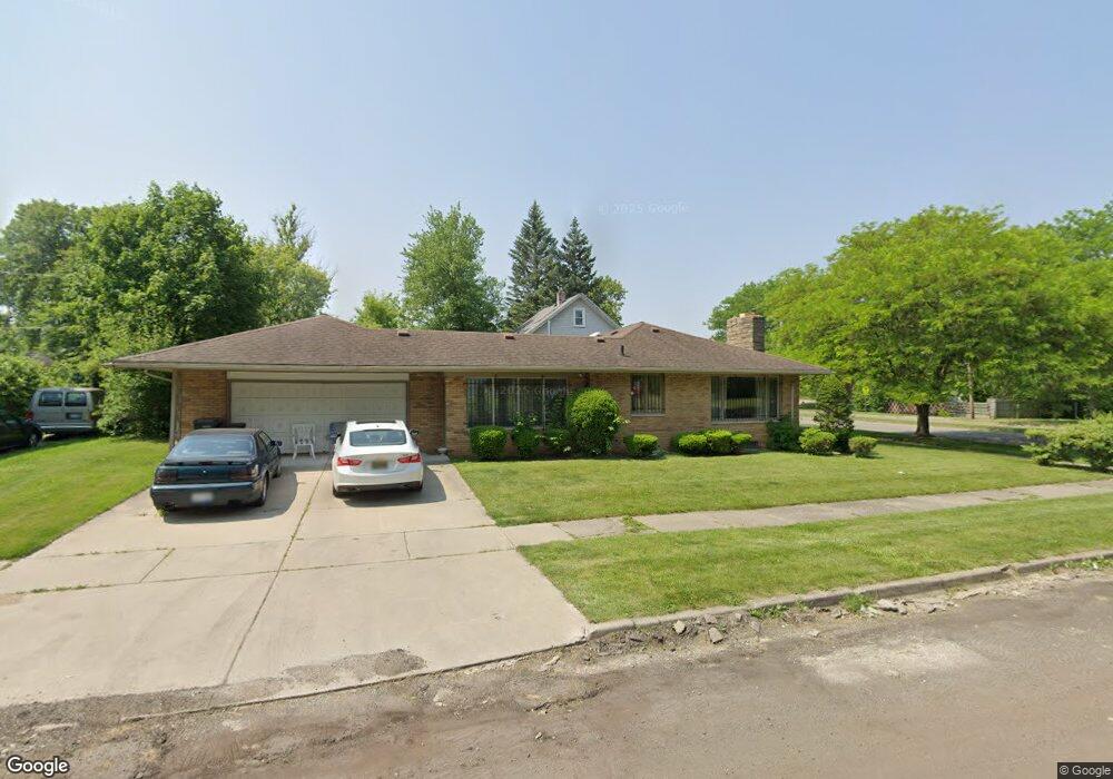
1166 N Chevrolet Ave Flint, MI 48504
Ballenger Park NeighborhoodEstimated Value: $54,000 - $80,000
2
Beds
1
Bath
1,213
Sq Ft
$53/Sq Ft
Est. Value
About This Home
This home is located at 1166 N Chevrolet Ave, Flint, MI 48504 and is currently estimated at $64,050, approximately $52 per square foot. 1166 N Chevrolet Ave is a home located in Genesee County with nearby schools including Durant-Tuuri-Mott Elementary School, St John Vianney Catholic School, and St. Paul Lutheran School.
Ownership History
Date
Name
Owned For
Owner Type
Purchase Details
Closed on
Oct 27, 2008
Sold by
Townsend Vernnie J
Bought by
Townsend Sarah
Current Estimated Value
Home Financials for this Owner
Home Financials are based on the most recent Mortgage that was taken out on this home.
Original Mortgage
$56,000
Outstanding Balance
$35,965
Interest Rate
5.73%
Mortgage Type
Purchase Money Mortgage
Estimated Equity
$28,085
Purchase Details
Closed on
Dec 10, 2002
Sold by
Estate Of Ada A Ruddy
Bought by
Townsend Sarah and Townsend Vernnie J
Create a Home Valuation Report for This Property
The Home Valuation Report is an in-depth analysis detailing your home's value as well as a comparison with similar homes in the area
Home Values in the Area
Average Home Value in this Area
Purchase History
| Date | Buyer | Sale Price | Title Company |
|---|---|---|---|
| Townsend Sarah | -- | Metropolitan Title Company | |
| Townsend Sarah | $55,800 | Guaranty Title Company |
Source: Public Records
Mortgage History
| Date | Status | Borrower | Loan Amount |
|---|---|---|---|
| Open | Townsend Sarah | $56,000 |
Source: Public Records
Tax History Compared to Growth
Tax History
| Year | Tax Paid | Tax Assessment Tax Assessment Total Assessment is a certain percentage of the fair market value that is determined by local assessors to be the total taxable value of land and additions on the property. | Land | Improvement |
|---|---|---|---|---|
| 2025 | $1,194 | $25,700 | $0 | $0 |
| 2024 | $1,074 | $25,200 | $0 | $0 |
| 2023 | $1,051 | $21,000 | $0 | $0 |
| 2022 | $0 | $16,500 | $0 | $0 |
| 2021 | $1,097 | $18,100 | $0 | $0 |
| 2020 | $982 | $18,600 | $0 | $0 |
| 2019 | $953 | $15,900 | $0 | $0 |
| 2018 | $968 | $14,900 | $0 | $0 |
| 2017 | $939 | $0 | $0 | $0 |
| 2016 | $933 | $0 | $0 | $0 |
| 2015 | -- | $0 | $0 | $0 |
| 2014 | -- | $0 | $0 | $0 |
| 2012 | -- | $19,100 | $0 | $0 |
Source: Public Records
Map
Nearby Homes
- 2410 Sloan St
- 2606 Stevenson St
- 1220 Forest Hill Ave
- 2536 Orchard Ln
- 2001 Mackin Rd
- 1813 Stevenson St
- 2730 Berkley St
- 2329 Joliet St
- 2425 Clement St
- 1717 Wolcott St
- 1802 Mackin Rd
- 2725 Prospect St
- 1017 Perry St
- 2713 Norbert St
- 913 Perry St
- 2448 Thomas St
- 448 Dougherty Place
- 2714 Barth St
- 2539 Norbert St
- 2302 Mallery St
- 1160 N Chevrolet Ave
- 2329 Raskob St
- 1152 N Chevrolet Ave
- 2325 Raskob St
- 2414 Sloan St
- 1202 N Chevrolet Ave
- 3913 Raskob St
- 2326 Raskob St
- 1210 N Chevrolet Ave
- 2321 Raskob St
- 0 Sloan St
- 2406 Sloan St
- 2322 Raskob St
- 2401 Raskob St Unit Bldg-Unit
- 2401 Raskob St
- 1201 N Chevrolet Ave
- 2317 Raskob St
- 2318 Raskob St
- 2402 Sloan St
- 1209 N Chevrolet Ave