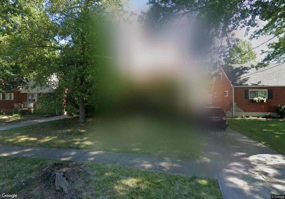
1166 Tassie Ln Cincinnati, OH 45231
Finneytown NeighborhoodEstimated Value: $198,000 - $236,000
4
Beds
2
Baths
1,722
Sq Ft
$129/Sq Ft
Est. Value
About This Home
This home is located at 1166 Tassie Ln, Cincinnati, OH 45231 and is currently estimated at $222,671, approximately $129 per square foot. 1166 Tassie Ln is a home located in Hamilton County with nearby schools including Mt Healthy High School, John Paul II Catholic School, and Central Baptist Academy.
Ownership History
Date
Name
Owned For
Owner Type
Purchase Details
Closed on
Jul 29, 2002
Sold by
Manning Kenneth I and Manning Hattie M
Bought by
Tanksley Carl and Tanksley Krista L
Current Estimated Value
Home Financials for this Owner
Home Financials are based on the most recent Mortgage that was taken out on this home.
Original Mortgage
$109,500
Outstanding Balance
$46,831
Interest Rate
6.7%
Estimated Equity
$175,840
Create a Home Valuation Report for This Property
The Home Valuation Report is an in-depth analysis detailing your home's value as well as a comparison with similar homes in the area
Home Values in the Area
Average Home Value in this Area
Purchase History
| Date | Buyer | Sale Price | Title Company |
|---|---|---|---|
| Tanksley Carl | $112,900 | Classic Title Agency Inc |
Source: Public Records
Mortgage History
| Date | Status | Borrower | Loan Amount |
|---|---|---|---|
| Open | Tanksley Carl | $109,500 |
Source: Public Records
Tax History Compared to Growth
Tax History
| Year | Tax Paid | Tax Assessment Tax Assessment Total Assessment is a certain percentage of the fair market value that is determined by local assessors to be the total taxable value of land and additions on the property. | Land | Improvement |
|---|---|---|---|---|
| 2024 | $2,894 | $50,264 | $5,845 | $44,419 |
| 2023 | $2,749 | $50,264 | $5,845 | $44,419 |
| 2022 | $2,668 | $35,130 | $4,911 | $30,219 |
| 2021 | $2,596 | $35,130 | $4,911 | $30,219 |
| 2020 | $2,635 | $35,130 | $4,911 | $30,219 |
| 2019 | $2,388 | $29,772 | $4,162 | $25,610 |
| 2018 | $2,402 | $29,772 | $4,162 | $25,610 |
| 2017 | $2,279 | $29,772 | $4,162 | $25,610 |
| 2016 | $2,267 | $29,194 | $4,515 | $24,679 |
| 2015 | $2,285 | $29,194 | $4,515 | $24,679 |
| 2014 | $2,274 | $29,194 | $4,515 | $24,679 |
| 2013 | $2,183 | $28,624 | $4,428 | $24,196 |
Source: Public Records
Map
Nearby Homes
- 1100 Gracewind Ct
- 8925 Monsanto Dr
- 1190 Sugartree Ct
- 8950 Daly Rd
- 8831 Daly Rd
- 8772 Balboa Dr
- 8840 Grenada Dr
- 8627 Mockingbird Ln
- 8622 Mockingbird Ln
- 1013 Vacationland Dr
- 8734 Grenada Dr
- 1151 Hempstead Dr
- 958 Hollytree Dr
- 954 Hollytree Dr
- 8491 Daly Rd
- 1029 Bluejay Dr
- 1031 Lost Crossing
- 8681 Desoto Dr
- 8433 Jonfred Ct
- 1277 Prospect Place
- 1152 Tassie Ln
- 1160 Tassie Ln
- 1176 Tassie Ln
- 1105 Meadowind Ct
- 1101 Meadowind Ct
- 1109 Meadowind Ct
- 1180 Tassie Ln
- 1167 Tassie Ln
- 1156 Tassie Ln
- 1171 Tassie Ln
- 1113 Meadowind Ct
- 1161 Tassie Ln
- 1177 Tassie Ln
- 1097 Meadowind Ct
- 1117 Meadowind Ct
- 1186 Tassie Ln
- 1150 Tassie Ln
- 1157 Tassie Ln
- 1103 Dalbren Ln
- 1190 Tassie Ln