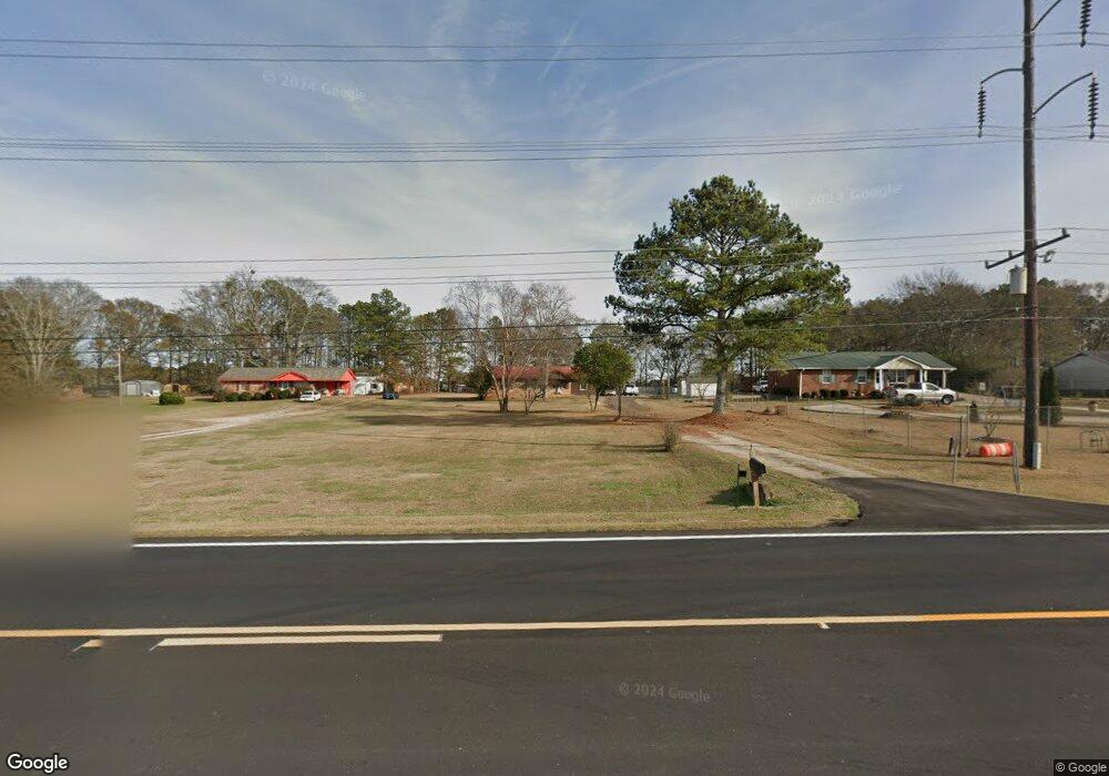
11660 Highway 142 Covington, GA 30014
Estimated Value: $135,000 - $254,000
Studio
2
Baths
1,350
Sq Ft
$146/Sq Ft
Est. Value
About This Home
This home is located at 11660 Highway 142, Covington, GA 30014 and is currently estimated at $197,420, approximately $146 per square foot. 11660 Highway 142 is a home located in Newton County with nearby schools including Flint Hill Elementary School, Cousins Middle School, and Eastside High School.
Ownership History
Date
Name
Owned For
Owner Type
Purchase Details
Closed on
Apr 12, 1999
Sold by
Murphy Darby
Bought by
Goggins Elizabeth G
Current Estimated Value
Home Financials for this Owner
Home Financials are based on the most recent Mortgage that was taken out on this home.
Original Mortgage
$67,797
Interest Rate
6.85%
Mortgage Type
New Conventional
Purchase Details
Closed on
Mar 3, 1998
Sold by
Camp Clarence E and Camp Marie N
Bought by
Murphy Darby
Create a Home Valuation Report for This Property
The Home Valuation Report is an in-depth analysis detailing your home's value as well as a comparison with similar homes in the area
Home Values in the Area
Average Home Value in this Area
Purchase History
| Date | Buyer | Sale Price | Title Company |
|---|---|---|---|
| Goggins Elizabeth G | $75,400 | -- | |
| Murphy Darby | -- | -- |
Source: Public Records
Mortgage History
| Date | Status | Borrower | Loan Amount |
|---|---|---|---|
| Closed | Goggins Elizabeth G | $67,797 |
Source: Public Records
Tax History
| Year | Tax Paid | Tax Assessment Tax Assessment Total Assessment is a certain percentage of the fair market value that is determined by local assessors to be the total taxable value of land and additions on the property. | Land | Improvement |
|---|---|---|---|---|
| 2025 | $1,550 | $62,280 | $10,000 | $52,280 |
| 2024 | $1,463 | $57,760 | $10,000 | $47,760 |
| 2023 | $1,237 | $45,600 | $5,000 | $40,600 |
| 2022 | $1,044 | $38,480 | $5,000 | $33,480 |
| 2021 | $983 | $32,400 | $5,000 | $27,400 |
| 2020 | $778 | $23,160 | $5,000 | $18,160 |
| 2019 | $725 | $21,240 | $5,000 | $16,240 |
| 2018 | $672 | $19,560 | $4,000 | $15,560 |
| 2017 | $521 | $19,080 | $4,000 | $15,080 |
| 2016 | $521 | $19,080 | $4,000 | $15,080 |
| 2015 | $527 | $19,240 | $4,000 | $15,240 |
| 2014 | $527 | $19,240 | $0 | $0 |
Source: Public Records
Map
Nearby Homes
- 255 Orchard Dr
- 11118 City Pond Rd
- 125 Pratt Dr
- 705 Baker Rd
- 120 Pratt Dr
- 90 Moores Ln
- 75 Otelia Ln
- 0 City Pond Rd Unit 10684528
- 0 City Pond Rd Unit 7713833
- 90 Cornish Trace Dr
- 12621 Highway 142
- 12621 Georgia 142
- 2101 Highway 81
- 2131 Highway 81
- 208 Emory Way
- 110 Gum Creek Rd
- 205 Emory Way
- 1041 Flat Rock Rd
- 1417 Wesley St
- 101 E Macedonia Church Rd
- 11650 Highway 142
- 11670 Highway 142
- 145 Orchard Ln
- 11640 Highway 142
- 155 Orchard Ln
- 11680 Highway 142
- 135 Orchard Ln
- 11690 Highway 142
- 15 Heard Ln Unit 185
- 15 Heard Ln
- 185 Orchard Ln
- 195 Orchard Ln
- 11630 Highway 142
- 10 Heard Ln Unit 147
- 20 Heard Ln
- 30 Heard Ln
- 40 Heard Ln
- 10 Heard Ln
- 170 Orchard Ln
- 170 Orchard Ln Unit 187
Your Personal Tour Guide
Ask me questions while you tour the home.