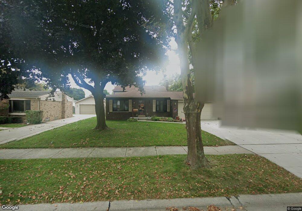
11666 Bora Ct Unit Bldg-Unit Sterling Heights, MI 48312
Estimated Value: $313,000 - $338,188
2
Beds
2
Baths
1,674
Sq Ft
$194/Sq Ft
Est. Value
About This Home
This home is located at 11666 Bora Ct Unit Bldg-Unit, Sterling Heights, MI 48312 and is currently estimated at $325,297, approximately $194 per square foot. 11666 Bora Ct Unit Bldg-Unit is a home located in Macomb County with nearby schools including Bruce Collins Elementary School, Heritage Junior High School, and Davis Junior High School.
Ownership History
Date
Name
Owned For
Owner Type
Purchase Details
Closed on
Jun 10, 2020
Sold by
Denton Jay Jordan and Park Shin Ae
Bought by
Hendershott Joel and Kulaga Jett
Current Estimated Value
Purchase Details
Closed on
Jun 15, 2018
Sold by
Collins Robert T and Collins Joanne M
Bought by
Denton Jay Jordan and Park Shin Ac
Purchase Details
Closed on
Jan 3, 2013
Sold by
Collins Robert T and Collins Joanne M
Bought by
Collins Robert T and Collins Joanne M
Purchase Details
Closed on
Jul 18, 1997
Sold by
Subic A and Subic K
Bought by
Collins R
Create a Home Valuation Report for This Property
The Home Valuation Report is an in-depth analysis detailing your home's value as well as a comparison with similar homes in the area
Home Values in the Area
Average Home Value in this Area
Purchase History
| Date | Buyer | Sale Price | Title Company |
|---|---|---|---|
| Hendershott Joel | $224,900 | Devon Title Agency | |
| Denton Jay Jordan | $211,500 | Sterling Title Agency | |
| Collins Robert T | -- | None Available | |
| Collins R | $148,500 | -- |
Source: Public Records
Tax History Compared to Growth
Tax History
| Year | Tax Paid | Tax Assessment Tax Assessment Total Assessment is a certain percentage of the fair market value that is determined by local assessors to be the total taxable value of land and additions on the property. | Land | Improvement |
|---|---|---|---|---|
| 2025 | $4,438 | $139,200 | $0 | $0 |
| 2024 | $4,058 | $131,300 | $0 | $0 |
| 2023 | $3,831 | $116,700 | $0 | $0 |
| 2022 | $3,994 | $104,900 | $0 | $0 |
| 2021 | $3,911 | $101,400 | $0 | $0 |
| 2020 | $3,352 | $99,400 | $0 | $0 |
| 2019 | $3,434 | $94,300 | $0 | $0 |
| 2018 | $2,427 | $86,600 | $0 | $0 |
| 2017 | $2,319 | $80,800 | $16,500 | $64,300 |
| 2016 | $2,240 | $80,800 | $0 | $0 |
| 2015 | -- | $78,500 | $0 | $0 |
| 2014 | -- | $60,900 | $0 | $0 |
Source: Public Records
Map
Nearby Homes
- 36460 Tarpon Dr
- 36592 Cecilia Dr
- 12245 Canterbury Dr
- 36876 Aaron Ct
- 13193 Metro Pkwy
- 12341 de Grove Dr
- 35695 Bonneville Dr
- 12376 Canterbury Dr
- 12312 Cabot Dr
- 36365 Idaho Dr
- 36635 Kenneth Ct
- 12227 Polara Dr
- 12851 Grand Haven Dr
- 35622 Malibu Dr
- 36719 Gregory Dr
- 12284 Polara Dr
- 36754 Maas Dr
- 37122 Clubhouse Dr
- 37122 Clubhouse Dr Unit 88
- 35080 Wellston Ave