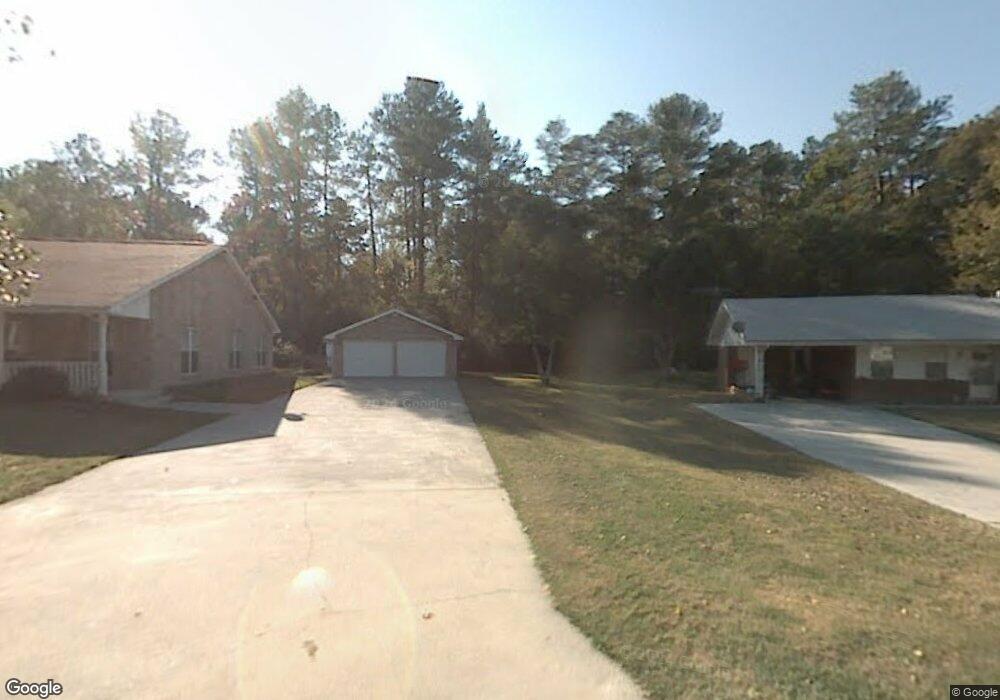
1167 Reeves Station Rd SW Calhoun, GA 30701
Estimated Value: $490,000 - $840,000
4
Beds
4
Baths
4,950
Sq Ft
$137/Sq Ft
Est. Value
About This Home
This home is located at 1167 Reeves Station Rd SW, Calhoun, GA 30701 and is currently estimated at $677,539, approximately $136 per square foot. 1167 Reeves Station Rd SW is a home located in Gordon County with nearby schools including Swain Elementary School, Ashworth Middle School, and Gordon Central High School.
Ownership History
Date
Name
Owned For
Owner Type
Purchase Details
Closed on
Feb 22, 2013
Sold by
Crawley Melissa B
Bought by
Crawley Melissa B and Crawley Charles C
Current Estimated Value
Purchase Details
Closed on
Jun 24, 2005
Sold by
Lee Leslie David
Bought by
Crawley Melissa B
Home Financials for this Owner
Home Financials are based on the most recent Mortgage that was taken out on this home.
Original Mortgage
$337,600
Interest Rate
5.57%
Mortgage Type
New Conventional
Purchase Details
Closed on
Aug 28, 2003
Sold by
Lee Leslie David and Lee Marilyn
Bought by
Lee Leslie David & Marilyn Trustees
Create a Home Valuation Report for This Property
The Home Valuation Report is an in-depth analysis detailing your home's value as well as a comparison with similar homes in the area
Home Values in the Area
Average Home Value in this Area
Purchase History
| Date | Buyer | Sale Price | Title Company |
|---|---|---|---|
| Crawley Melissa B | -- | -- | |
| Crawley Melissa B | $422,000 | -- | |
| Lee Leslie David & Marilyn Trustees | -- | -- |
Source: Public Records
Mortgage History
| Date | Status | Borrower | Loan Amount |
|---|---|---|---|
| Previous Owner | Crawley Melissa B | $337,600 |
Source: Public Records
Tax History Compared to Growth
Tax History
| Year | Tax Paid | Tax Assessment Tax Assessment Total Assessment is a certain percentage of the fair market value that is determined by local assessors to be the total taxable value of land and additions on the property. | Land | Improvement |
|---|---|---|---|---|
| 2024 | $3,726 | $189,268 | $60,760 | $128,508 |
| 2023 | $3,485 | $180,348 | $60,760 | $119,588 |
| 2022 | $3,459 | $171,748 | $60,760 | $110,988 |
| 2021 | $3,061 | $155,040 | $64,160 | $90,880 |
| 2020 | $3,152 | $156,400 | $64,160 | $92,240 |
| 2019 | $3,153 | $156,400 | $64,160 | $92,240 |
Source: Public Records
Map
Nearby Homes
- 301 Switch Rd SW
- 1943 Rome Rd SW
- 187 Cantrell Dr SW
- 0 Reeves Station Rd SW Unit 10548197
- 0 Reeves Station Rd SW Unit 7601645
- 159 Moores Ferry Rd SW
- 496 Flat Woods Rd
- 821 Everett Springs Rd NE
- 1500 Moores Ferry Rd SW
- 176 Village Way SW
- 0 Highway 53 Spur SW Unit 7529096
- The Braselton II Plan at Fair Oak
- The Reynolds Plan at Fair Oak
- The Buford II Plan at Fair Oak
- The Lawson Plan at Fair Oak
- The Caldwell Plan at Fair Oak
- The Benson II Plan at Fair Oak
- The Greenbrier II Plan at Fair Oak
- 3293 Rome Rd SW
- 221 Hardin Rd SW
- 1169 Reeves Station Rd SW
- 1273 Reeves Station Rd SW
- 1261 Reeves Station Rd SW
- 1301 Reeves Station Rd SW
- 1317 Reeves Station Rd SW
- 1345 Reeves Station Rd SW
- 351 Academy Dr SW
- 1233 Reeves Station Rd SW
- 1363 Reeves Station Rd SW
- 1247 Reeves Station Rd SW
- 1395 Reeves Station Rd SW
- 1395 Reeves Station Rd SW
- 1310 Reeves Station Rd SW
- 1276 Reeves Station Rd SW
- 1274 Reeves Station Rd SW
- 1163 Reeves Station Rd SW
- 1346 Reeves Station Rd SW
- 1258 Reeves Station Rd SW
- 9999 Reeves Station Rd SW
- 1388 Reeves Station Rd SW