11673 Harcum Rd Gloucester, VA 23061
Ware Neck NeighborhoodEstimated Value: $245,000 - $342,934
3
Beds
2
Baths
2,356
Sq Ft
$119/Sq Ft
Est. Value
About This Home
This home is located at 11673 Harcum Rd, Gloucester, VA 23061 and is currently estimated at $279,984, approximately $118 per square foot. 11673 Harcum Rd is a home located in Gloucester County with nearby schools including Botetourt Elementary School, Peasley Middle School, and Gloucester High School.
Ownership History
Date
Name
Owned For
Owner Type
Purchase Details
Closed on
Jun 19, 2025
Sold by
Houston Kelsie Miller
Bought by
Houston Timothy Andrew
Current Estimated Value
Purchase Details
Closed on
Jan 23, 2017
Sold by
Miller Hardy L
Bought by
Houston Timothy A and Houston Kelsie M
Home Financials for this Owner
Home Financials are based on the most recent Mortgage that was taken out on this home.
Original Mortgage
$132,554
Interest Rate
3.13%
Mortgage Type
New Conventional
Create a Home Valuation Report for This Property
The Home Valuation Report is an in-depth analysis detailing your home's value as well as a comparison with similar homes in the area
Home Values in the Area
Average Home Value in this Area
Purchase History
| Date | Buyer | Sale Price | Title Company |
|---|---|---|---|
| Houston Timothy Andrew | -- | None Listed On Document | |
| Houston Timothy A | $135,000 | Blue Heron Title Company Llc |
Source: Public Records
Mortgage History
| Date | Status | Borrower | Loan Amount |
|---|---|---|---|
| Previous Owner | Houston Timothy A | $132,554 |
Source: Public Records
Tax History
| Year | Tax Paid | Tax Assessment Tax Assessment Total Assessment is a certain percentage of the fair market value that is determined by local assessors to be the total taxable value of land and additions on the property. | Land | Improvement |
|---|---|---|---|---|
| 2025 | $1,378 | $224,440 | $49,650 | $174,790 |
| 2024 | $1,378 | $224,440 | $49,650 | $174,790 |
| 2023 | $1,308 | $224,440 | $49,650 | $174,790 |
| 2022 | $1,259 | $173,710 | $48,910 | $124,800 |
| 2021 | $1,207 | $173,710 | $48,910 | $124,800 |
| 2020 | $1,207 | $173,710 | $48,910 | $124,800 |
| 2019 | $964 | $138,700 | $48,910 | $89,790 |
| 2017 | $964 | $138,700 | $48,910 | $89,790 |
| 2016 | $1,095 | $157,590 | $48,910 | $108,680 |
| 2015 | $1,072 | $163,000 | $58,000 | $105,000 |
| 2014 | $1,060 | $163,000 | $58,000 | $105,000 |
Source: Public Records
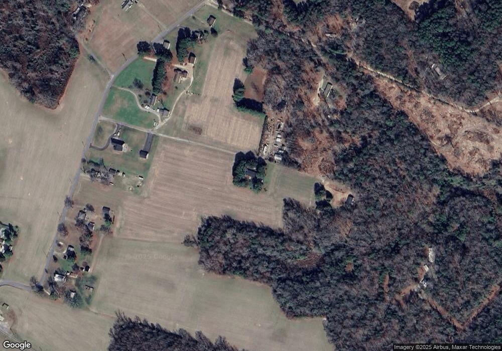
Map
Nearby Homes
- 00 New Upton Farms Ln
- LOT 2 Riverwatch Dr
- 11802 Deep Point Ln
- 11348 E West Pkwy
- 686 Shore Dr
- 621 Shore Dr
- 262 Columbine Dr
- 10785 Hornets Nest Rd
- Lot 1 Poplar Dr
- .33 Highview Dr
- 939 Coachpoint Rd
- 335 Pineview Dr
- 1033 Point Anne Dr
- 0 Coachpoint Rd
- 50 Ridge Rd Unit 7-E
- 101 Pineview Dr
- 722 Point Anne Dr
- 563 Coachpoint Rd
- 000 Scoggins Creek Trail
- 10114 New Hope Ct
- 11773 Harcum Rd
- 00 Harcum Rd
- 11677 Harcum Rd
- 11777 Harcum Rd
- 11723 Harcum Rd
- 11695 Harcum Rd
- 11649 Harcum Rd
- 11737 Harcum Rd
- 11637 Harcum Rd
- 11771 Harcum Rd
- 7349 Wood Duck Ln
- 11611 Harcum Rd
- 7287 Wood Duck Ln
- 11819 Harcum Rd
- 11589 Harcum Rd
- 11843 Harcum Rd
- 11738 Harcum Rd
- 7415 Wood Duck Ln
- 11571 Harcum Rd
- 11704 Harcum Rd
Your Personal Tour Guide
Ask me questions while you tour the home.