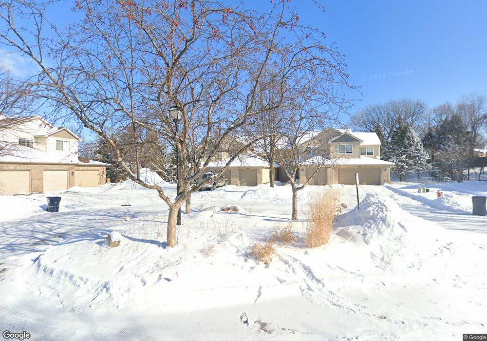
11673 Langford Cir Unit 901 Burnsville, MN 55337
Estimated Value: $259,000 - $311,000
2
Beds
3
Baths
1,521
Sq Ft
$185/Sq Ft
Est. Value
About This Home
This home is located at 11673 Langford Cir Unit 901, Burnsville, MN 55337 and is currently estimated at $280,710, approximately $184 per square foot. 11673 Langford Cir Unit 901 is a home located in Dakota County with nearby schools including William Byrne Elementary School, Burnsville High School, and Gateway STEM Academy.
Ownership History
Date
Name
Owned For
Owner Type
Purchase Details
Closed on
Jul 16, 2025
Sold by
State Of Minnesota
Bought by
City Of Burnsville
Current Estimated Value
Purchase Details
Closed on
Oct 18, 2022
Sold by
Petersen Family Trust Agreement Dated Au
Bought by
Vershaw Martin and Vershaw Yuka
Home Financials for this Owner
Home Financials are based on the most recent Mortgage that was taken out on this home.
Original Mortgage
$207,439
Interest Rate
5.66%
Mortgage Type
New Conventional
Purchase Details
Closed on
Aug 1, 2017
Sold by
Petersen Cole D and Petersen Marie M
Bought by
Petersen Cole D and Petersen Marie
Purchase Details
Closed on
Aug 27, 2001
Sold by
Pederson Joann M and Pederson Lawrence E
Bought by
Petersen Cole D and Petersen Marie M
Purchase Details
Closed on
Feb 7, 1997
Sold by
Town & Country Homes Inc
Bought by
Peterson Lawrence E and Peterson Joann M
Create a Home Valuation Report for This Property
The Home Valuation Report is an in-depth analysis detailing your home's value as well as a comparison with similar homes in the area
Home Values in the Area
Average Home Value in this Area
Purchase History
| Date | Buyer | Sale Price | Title Company |
|---|---|---|---|
| City Of Burnsville | -- | None Listed On Document | |
| Vershaw Martin | $273,000 | -- | |
| Petersen Cole D | -- | None Available | |
| Petersen Cole D | $182,000 | -- | |
| Peterson Lawrence E | $121,620 | -- |
Source: Public Records
Mortgage History
| Date | Status | Borrower | Loan Amount |
|---|---|---|---|
| Previous Owner | Vershaw Martin | $207,439 |
Source: Public Records
Tax History Compared to Growth
Tax History
| Year | Tax Paid | Tax Assessment Tax Assessment Total Assessment is a certain percentage of the fair market value that is determined by local assessors to be the total taxable value of land and additions on the property. | Land | Improvement |
|---|---|---|---|---|
| 2024 | $2,604 | $269,400 | $37,900 | $231,500 |
| 2023 | $2,604 | $258,400 | $38,700 | $219,700 |
| 2022 | $2,152 | $250,200 | $37,500 | $212,700 |
| 2021 | $2,192 | $214,500 | $32,100 | $182,400 |
| 2020 | $1,972 | $207,900 | $31,100 | $176,800 |
| 2019 | $1,968 | $183,700 | $27,500 | $156,200 |
| 2018 | $1,868 | $175,500 | $26,300 | $149,200 |
| 2017 | $1,784 | $163,400 | $24,500 | $138,900 |
| 2016 | $1,499 | $155,500 | $23,300 | $132,200 |
| 2015 | $1,378 | $105,332 | $15,784 | $89,548 |
| 2014 | -- | $100,536 | $15,033 | $85,503 |
| 2013 | -- | $70,452 | $10,554 | $59,898 |
Source: Public Records
Map
Nearby Homes
- 3017 Mcleod St
- 11900 Highland View Cir
- 2200 Horizon Rd
- 11902 River Hills Cir
- 11921 Baypoint Dr
- 11459 Galtier Dr
- 1853 Riverwood Dr Unit 4
- 1800 Riverwood Dr Unit 110
- 1800 Riverwood Dr Unit 323
- 11311 W River Hills Dr
- 3309 Red Oak Cir N
- 2001 Woods Ln
- 11036 27th Ave S
- 1601 Raleigh Dr
- 11017 27th Ave S
- 4427 Cinnamon Ridge Cir
- 4425 Cinnamon Ridge Cir
- 11115 Carver Ct
- 4463 Cinnamon Ridge Cir
- 4413 Slater Rd
- 11675 Langford Cir Unit 902
- 11677 Langford Cir Unit 903
- 11672 Langford Cir Unit 806
- 11679 Langford Cir
- 11674 Langford Cir
- 11679 11679 Langford-Circle-
- 11679 11679 Langford Cir
- 11681 Langford Cir Unit 905
- 11674 11674 Langford-Circle-
- 11680 Langford Cir
- 11682 Langford Cir
- 11682 Langford Cir Unit 801
- 11682 11682 Langford-Circle-
- 11682 11682 Langford Cir
- 11683 11683 Langford-Circle-
- 11683 11683 Horizon-Drive-
- 11679 11679 Horizon-Drive-
- 11685 11685 Langford-Circle-
- 11685 11685 Langford Cir
- 11692 Langford Cir Unit 702