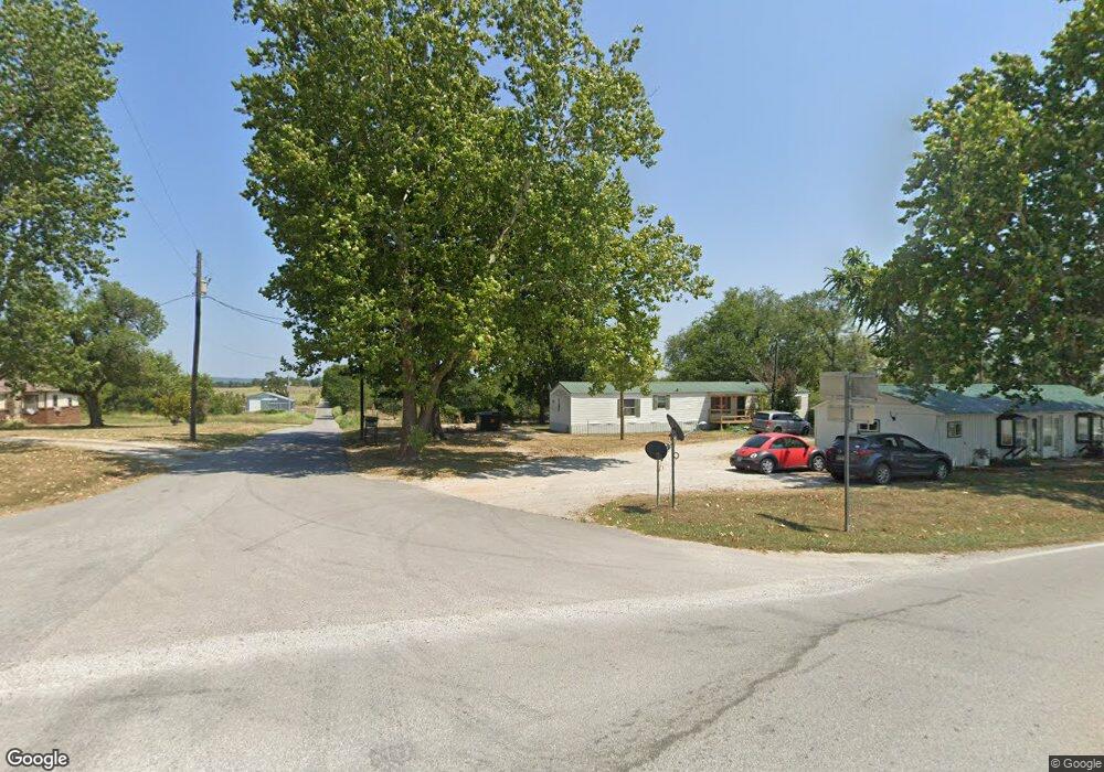
1168 Rr 1 Golden, MO 65658
Estimated Value: $141,000 - $402,000
2
Beds
2
Baths
1,980
Sq Ft
$118/Sq Ft
Est. Value
About This Home
This home is located at 1168 Rr 1, Golden, MO 65658 and is currently estimated at $234,629, approximately $118 per square foot. 1168 Rr 1 is a home with nearby schools including Eunice Thomas Elementary School, Cassville Intermediate School, and Cassville Middle School.
Ownership History
Date
Name
Owned For
Owner Type
Purchase Details
Closed on
Jan 4, 2023
Sold by
Larson Eric C and Larson Deborah M
Bought by
Marcum Christina Ann
Current Estimated Value
Purchase Details
Closed on
Dec 19, 2022
Sold by
Larson Eric C and Larson Deborah M
Bought by
Marcum Christina Ann
Purchase Details
Closed on
Dec 2, 2008
Sold by
Aurora Loan Services Llc
Bought by
Larson Eric C and Larson Deborah M
Create a Home Valuation Report for This Property
The Home Valuation Report is an in-depth analysis detailing your home's value as well as a comparison with similar homes in the area
Home Values in the Area
Average Home Value in this Area
Purchase History
| Date | Buyer | Sale Price | Title Company |
|---|---|---|---|
| Marcum Christina Ann | $20,000 | -- | |
| Marcum Christina Ann | $20,000 | None Listed On Document | |
| Marcum Christina Ann | $120,121 | -- | |
| Marcum Christina Ann | $120,121 | None Listed On Document | |
| Larson Eric C | -- | Mokan Title Services Llc |
Source: Public Records
Tax History Compared to Growth
Tax History
| Year | Tax Paid | Tax Assessment Tax Assessment Total Assessment is a certain percentage of the fair market value that is determined by local assessors to be the total taxable value of land and additions on the property. | Land | Improvement |
|---|---|---|---|---|
| 2025 | $879 | $19,361 | $3,458 | $15,903 |
| 2024 | $879 | $17,917 | $3,458 | $14,459 |
| 2023 | $879 | $17,917 | $3,458 | $14,459 |
| 2022 | $941 | $19,190 | $4,731 | $14,459 |
| 2021 | $943 | $19,304 | $4,731 | $14,573 |
| 2020 | $943 | $20,938 | $4,731 | $16,207 |
| 2018 | $921 | $20,938 | $4,731 | $16,207 |
| 2017 | $919 | $20,938 | $4,731 | $16,207 |
| 2016 | $847 | $19,019 | $4,142 | $14,877 |
| 2015 | -- | $19,019 | $4,142 | $14,877 |
| 2014 | -- | $19,019 | $4,142 | $14,877 |
| 2012 | -- | $0 | $0 | $0 |
Source: Public Records
Map
Nearby Homes
- Lot 140 Timberlane Dr
- Lot 139 Timberlane Dr
- 000 Bluebird Dr
- 24406 Timberlane Dr
- 23775 Bluebird Dr
- 24402 Whippoorwill Dr
- 000 E Mockingbird Dr
- 227 & 228 E Mockingbird Dr
- 22795 A Dr
- 000 A Dr
- 217&218 A Dr
- 24656 Walleye Dr
- 21865 Lake Road M-12
- 23643 Falcon Ln
- 21914 Michigan 14
- 21935 Lake Road M-12
- 23111 Kings Ln
- 0 Linden Ln
- Lot 261 Saratoga Elm
- 25180 Hailey Cir
- 000 Cliff Dr
- 27873 E Halley Rd
- 307 NW 73rd St
- 23977 Cher Ave
- 24231 Turkey Mountain Rd
- 24164 Turkey Mountain Rd
- 17250 State Highway Z
- 0 Timber Ln Unit 679946
- 24217 Turkey Mountain Rd
- 24217 Turkey Mountain Dr
- Tbd Cliff Rd
- Lt 76-78 Cher
- 000 Turkey Dr Emerald Beach #3 Lts 47&48
- 2157 W Whitten Rd
- 24233 Turkey Mountain Dr
- 10802 E 31st St S
- 23929 Cher Ave
- Lt 65 & 66 Turkey Mountain Rd
- 12471 Mallard Dr
- 24250 Roaring River Dr