11681 Battle Ridge Dr Remington, VA 22734
Estimated Value: $392,000 - $439,000
3
Beds
2
Baths
1,422
Sq Ft
$298/Sq Ft
Est. Value
About This Home
This home is located at 11681 Battle Ridge Dr, Remington, VA 22734 and is currently estimated at $423,542, approximately $297 per square foot. 11681 Battle Ridge Dr is a home located in Fauquier County with nearby schools including Margaret M. Pierce Elementary School, Cedar Lee Middle School, and Liberty High School.
Ownership History
Date
Name
Owned For
Owner Type
Purchase Details
Closed on
Jun 8, 2022
Sold by
Mack Jr Sherwood L
Bought by
Mack Sherwood L and Mack Timothy
Current Estimated Value
Home Financials for this Owner
Home Financials are based on the most recent Mortgage that was taken out on this home.
Original Mortgage
$288,000
Outstanding Balance
$270,748
Interest Rate
4%
Mortgage Type
VA
Estimated Equity
$152,794
Create a Home Valuation Report for This Property
The Home Valuation Report is an in-depth analysis detailing your home's value as well as a comparison with similar homes in the area
Home Values in the Area
Average Home Value in this Area
Purchase History
| Date | Buyer | Sale Price | Title Company |
|---|---|---|---|
| Mack Sherwood L | -- | Fidelity National Title | |
| Mack Sherwood L | $85,000 | Fidelity National Title | |
| Mack Sherwood L | $85,000 | Fidelity National Title |
Source: Public Records
Mortgage History
| Date | Status | Borrower | Loan Amount |
|---|---|---|---|
| Open | Mack Sherwood L | $288,000 | |
| Closed | Mack Sherwood L | $288,000 |
Source: Public Records
Tax History Compared to Growth
Tax History
| Year | Tax Paid | Tax Assessment Tax Assessment Total Assessment is a certain percentage of the fair market value that is determined by local assessors to be the total taxable value of land and additions on the property. | Land | Improvement |
|---|---|---|---|---|
| 2025 | $3,501 | $362,000 | $90,000 | $272,000 |
| 2024 | $3,427 | $362,000 | $90,000 | $272,000 |
| 2023 | $3,283 | $362,000 | $90,000 | $272,000 |
| 2022 | $3,283 | $362,000 | $90,000 | $272,000 |
| 2021 | $2,692 | $269,500 | $90,000 | $179,500 |
| 2020 | $2,692 | $269,500 | $90,000 | $179,500 |
| 2019 | $2,692 | $269,500 | $90,000 | $179,500 |
| 2018 | $2,660 | $269,500 | $90,000 | $179,500 |
| 2016 | $1,993 | $190,500 | $70,000 | $120,500 |
| 2015 | -- | $190,500 | $70,000 | $120,500 |
| 2014 | -- | $190,500 | $70,000 | $120,500 |
Source: Public Records
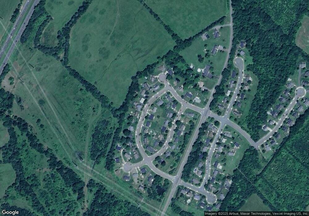
Map
Nearby Homes
- 404 N Franklin St
- 0 N Duey Unit VAFQ2016348
- 0 N Duey Unit VAFQ2018412
- 0 Davis Rd Unit VAFQ2017056
- 11490 Tilia Ln
- 7058 Helm Dr
- 12629 Tin Pot Run Ln
- 2211 Sedgwick Dr
- 202 Wankoma Dr
- 0 Catlett Rd Unit VAFQ2019302
- 7645 Wankoma Dr
- 0 Piney Ln Unit VAFQ2018214
- 0 Piney Ridge Rd
- 12406-B Strodes Mill Rd
- 12406 Strodes Mill Rd
- 6835 Brianwood Ct
- 5017 Gray Fox Dr
- Lapis Plan at Foxhaven - Seasons
- Coronado Plan at Foxhaven
- Hemingway Plan at Foxhaven
- 11689 Battle Ridge Dr
- 11675 Battle Ridge Dr
- 11684 Fort Union Dr
- 11693 Battle Ridge Dr
- 11690 Fort Union Dr
- 11673 Battle Ridge Dr
- 11686 Battle Ridge Dr
- 11682 Battle Ridge Dr
- 11680 Fort Union Dr
- 11692 Fort Union Dr
- 11688 Battle Ridge Dr
- 11674 Battle Ridge Dr
- 11678 Battle Ridge Dr
- 11697 Battle Ridge Dr
- 11692 Battle Ridge Dr
- 11694 Fort Union Dr
- 7167 Confederate Blvd
- 11701 Battle Ridge Dr
- 11696 Battle Ridge Dr
- 7162 Confederate Blvd