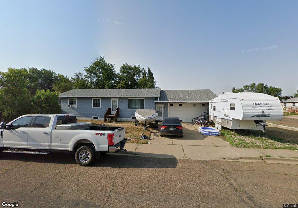
1169 Carroll St Dickinson, ND 58601
Estimated Value: $277,000 - $309,000
3
Beds
2
Baths
1,008
Sq Ft
$290/Sq Ft
Est. Value
About This Home
This home is located at 1169 Carroll St, Dickinson, ND 58601 and is currently estimated at $292,656, approximately $290 per square foot. 1169 Carroll St is a home located in Stark County with nearby schools including Trinity Elementary School West, Trinity Elementary School East, and St. Joseph School.
Ownership History
Date
Name
Owned For
Owner Type
Purchase Details
Closed on
Aug 25, 2009
Sold by
Keller Alvin M and Keller Lisa
Bought by
Bren Mark A and Ullman Kayla N
Current Estimated Value
Home Financials for this Owner
Home Financials are based on the most recent Mortgage that was taken out on this home.
Original Mortgage
$138,700
Outstanding Balance
$91,169
Interest Rate
5.29%
Mortgage Type
New Conventional
Estimated Equity
$201,487
Create a Home Valuation Report for This Property
The Home Valuation Report is an in-depth analysis detailing your home's value as well as a comparison with similar homes in the area
Home Values in the Area
Average Home Value in this Area
Purchase History
| Date | Buyer | Sale Price | Title Company |
|---|---|---|---|
| Bren Mark A | -- | None Available |
Source: Public Records
Mortgage History
| Date | Status | Borrower | Loan Amount |
|---|---|---|---|
| Open | Bren Mark A | $138,700 |
Source: Public Records
Tax History Compared to Growth
Tax History
| Year | Tax Paid | Tax Assessment Tax Assessment Total Assessment is a certain percentage of the fair market value that is determined by local assessors to be the total taxable value of land and additions on the property. | Land | Improvement |
|---|---|---|---|---|
| 2024 | $2,735 | $221,400 | $31,500 | $189,900 |
| 2023 | $2,184 | $221,400 | $31,500 | $189,900 |
| 2022 | $2,073 | $104,200 | $0 | $0 |
| 2021 | $2,014 | $195,800 | $31,500 | $164,300 |
| 2020 | $2,042 | $195,800 | $31,500 | $164,300 |
| 2019 | $2,048 | $195,800 | $31,500 | $164,300 |
| 2017 | $1,724 | $178,100 | $31,500 | $146,600 |
| 2015 | $1,724 | $196,900 | $29,900 | $167,000 |
| 2014 | $1,818 | $192,300 | $29,900 | $162,400 |
| 2013 | -- | $185,800 | $29,900 | $155,900 |
Source: Public Records
Map
Nearby Homes
- 257 15th Ave E
- 245 15th Ave E
- 231 Baker Ave
- 279 Baker Ave
- 1071 Lincoln St
- 1161 6th St E
- 227 10th Ave E
- 731 Baker Ave
- 691 17th Ave E
- 343 9th Ave E
- 359 9th Ave E
- 0 14th Ave E Unit 25-201
- 0 14th Ave E Unit 24-492
- 861 Mustang Ave
- 915 Mustang Ave
- 0 9th St E
- 0 E Villard St
- 985 Mustang Ave
- 0 7th Ave E
- 986 Mustang Ave
- 1170 Carroll St
- 261 Suncrest Ave
- 1193 Carroll St
- 280 Suncrest Ave
- 197 Suncrest Ave
- 1149 Carroll St
- 262 Suncrest Ave
- 1194 Carroll St Unit 1st
- 230 Baker Ave
- 279 Suncrest Ave
- 1150 Carroll St
- 242 Baker Ave
- 198 Suncrest Ave
- 198 Baker Ave
- 297 Suncrest Ave
- 187 Suncrest Ave
- 298 Suncrest Ave
- 219 Baker Ave
- 254 Baker Ave
- 314 Suncrest Ave