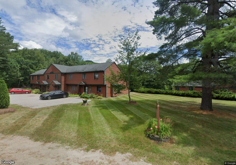
1169 Daniel Webster Hwy Unit 2 North Woodstock, NH 03262
Estimated Value: $324,588 - $440,000
4
Beds
2
Baths
1,450
Sq Ft
$267/Sq Ft
Est. Value
About This Home
This home is located at 1169 Daniel Webster Hwy Unit 2, North Woodstock, NH 03262 and is currently estimated at $387,397, approximately $267 per square foot. 1169 Daniel Webster Hwy Unit 2 is a home located in Grafton County with nearby schools including Lin-Wood Public Elementary School.
Ownership History
Date
Name
Owned For
Owner Type
Purchase Details
Closed on
Apr 13, 2009
Sold by
Gallagher Lisa and Fried Neil
Bought by
Parker Jocelyn J
Current Estimated Value
Home Financials for this Owner
Home Financials are based on the most recent Mortgage that was taken out on this home.
Original Mortgage
$132,000
Outstanding Balance
$83,445
Interest Rate
4.94%
Mortgage Type
Purchase Money Mortgage
Estimated Equity
$303,952
Create a Home Valuation Report for This Property
The Home Valuation Report is an in-depth analysis detailing your home's value as well as a comparison with similar homes in the area
Home Values in the Area
Average Home Value in this Area
Purchase History
| Date | Buyer | Sale Price | Title Company |
|---|---|---|---|
| Parker Jocelyn J | $165,000 | -- |
Source: Public Records
Mortgage History
| Date | Status | Borrower | Loan Amount |
|---|---|---|---|
| Open | Parker Jocelyn J | $132,000 |
Source: Public Records
Tax History Compared to Growth
Tax History
| Year | Tax Paid | Tax Assessment Tax Assessment Total Assessment is a certain percentage of the fair market value that is determined by local assessors to be the total taxable value of land and additions on the property. | Land | Improvement |
|---|---|---|---|---|
| 2024 | $3,627 | $178,500 | $0 | $178,500 |
| 2023 | $3,470 | $178,500 | $0 | $178,500 |
| 2022 | $3,281 | $178,500 | $0 | $178,500 |
| 2021 | $3,392 | $178,500 | $0 | $178,500 |
| 2020 | $3,561 | $178,500 | $0 | $178,500 |
| 2019 | $2,536 | $116,900 | $0 | $116,900 |
| 2018 | $2,540 | $116,900 | $0 | $116,900 |
| 2016 | $2,325 | $116,900 | $0 | $116,900 |
| 2015 | $2,213 | $116,900 | $0 | $116,900 |
| 2014 | $2,238 | $118,500 | $0 | $118,500 |
| 2012 | $2,739 | $153,210 | $0 | $153,210 |
Source: Public Records
Map
Nearby Homes
- 1033 Daniel Webster Hwy
- 3-42 Barron Rd
- 20 Condo Rd Unit 3
- 2832 New Hampshire Route 175
- 2832 Nh Route 175
- 20 Jack O'Lantern Dr Unit 27
- 443 Eastside Rd
- 15 Tennis Ln Unit B14
- 3481 Us Route 3
- 3447 US Route 3
- 13 Champions Way
- 93 Waterthorn Rd
- 25 Main St
- 206-011 Lost River Rd
- 56 Kancamagus Hwy
- 11 Cascade Dr Unit 288
- 252-254 Lost River Rd
- 164 Deer Park Dr Unit 160D
- 164 Deer Park Dr Unit 161D
- 164 Deer Park Dr Unit 168D
- 1169 Daniel Webster Hwy Unit 4
- 1169 Daniel Webster Hwy
- 1169 Daniel Webster Hwy Unit 3
- 12 Dwarf Ln
- 1125 Us Rt 3
- 1158 Daniel Webster Hwy
- 18 S Station Rd
- 1129 Daniel Webster Hwy
- 36 S Station Rd
- 19 S Station Rd
- RT 3 Daniel Webster Highway (Grey Hill)
- 1119 Daniel Webster Hwy
- 39 Pemi Ln
- 31 S Station Rd
- 27 Pemi Ln
- 1113 Daniel Webster Hwy
- 9 Bryants Ledge Dr
- 7 Fire Station Rd
- 11 Pemi Ln
- 1 Jacks Way