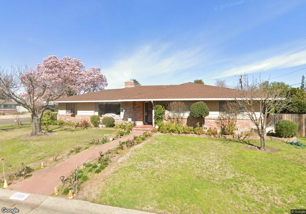
1169 Theo Way Sacramento, CA 95822
South Land Park NeighborhoodEstimated Value: $635,000 - $743,000
3
Beds
3
Baths
2,097
Sq Ft
$325/Sq Ft
Est. Value
About This Home
This home is located at 1169 Theo Way, Sacramento, CA 95822 and is currently estimated at $681,086, approximately $324 per square foot. 1169 Theo Way is a home located in Sacramento County with nearby schools including John Cabrillo Elementary School, Sam Brannan Middle School, and John F. Kennedy High School.
Ownership History
Date
Name
Owned For
Owner Type
Purchase Details
Closed on
Sep 15, 2021
Sold by
Milne Anthony M and Milne Mary E
Bought by
Milne Anthony M and Milne Mary E
Current Estimated Value
Home Financials for this Owner
Home Financials are based on the most recent Mortgage that was taken out on this home.
Original Mortgage
$30,000
Interest Rate
2.8%
Mortgage Type
Credit Line Revolving
Purchase Details
Closed on
Oct 4, 2010
Sold by
Milne Anthony M and Milne Mary E
Bought by
Milne Anthony M and Milne Mary E
Purchase Details
Closed on
Jun 10, 2004
Sold by
Milne Anthony M
Bought by
Milne Anthony M and Milne Mary Ellen
Purchase Details
Closed on
Feb 7, 2002
Sold by
Milne Anthony M and Milne Anthony M
Bought by
Milne Anthony M
Create a Home Valuation Report for This Property
The Home Valuation Report is an in-depth analysis detailing your home's value as well as a comparison with similar homes in the area
Home Values in the Area
Average Home Value in this Area
Purchase History
| Date | Buyer | Sale Price | Title Company |
|---|---|---|---|
| Milne Anthony M | -- | Old Republic Title Company | |
| Milne Anthony M | -- | Old Republic Title Company | |
| Milne Anthony M | -- | Old Republic Title Company | |
| Milne Anthony M | -- | Old Republic Title Company | |
| Milne Anthony M | -- | None Available | |
| Milne Anthony M | -- | -- | |
| Milne Anthony M | -- | -- | |
| Milne Anthony M | -- | -- |
Source: Public Records
Mortgage History
| Date | Status | Borrower | Loan Amount |
|---|---|---|---|
| Closed | Milne Anthony M | $30,000 |
Source: Public Records
Tax History Compared to Growth
Tax History
| Year | Tax Paid | Tax Assessment Tax Assessment Total Assessment is a certain percentage of the fair market value that is determined by local assessors to be the total taxable value of land and additions on the property. | Land | Improvement |
|---|---|---|---|---|
| 2025 | $1,434 | $95,549 | $17,125 | $78,424 |
| 2024 | $1,434 | $93,677 | $16,790 | $76,887 |
| 2023 | $1,393 | $91,841 | $16,461 | $75,380 |
| 2022 | $1,383 | $90,041 | $16,139 | $73,902 |
| 2021 | $1,319 | $88,276 | $15,823 | $72,453 |
| 2020 | $1,317 | $87,372 | $15,661 | $71,711 |
| 2019 | $1,290 | $85,659 | $15,354 | $70,305 |
| 2018 | $1,258 | $83,980 | $15,053 | $68,927 |
| 2017 | $1,235 | $82,334 | $14,758 | $67,576 |
| 2016 | $1,184 | $80,720 | $14,469 | $66,251 |
| 2015 | $1,162 | $79,508 | $14,252 | $65,256 |
| 2014 | $1,144 | $77,956 | $13,976 | $63,980 |
Source: Public Records
Map
Nearby Homes
- 4801 da Rosa Dr
- 5081 Karbet Way
- 4271 Warren Ave
- 4500 Crestwood Way
- 5200 Pleasant Dr
- 4851 Alta Dr
- 1025 Piedmont Dr
- 4960 Flora Vista Ln
- 995 Piedmont Dr
- 1432 Oregon Dr
- 5453 Parish Ct
- 4400 Capri Way
- 5779 Gloria Dr
- 5716 Lonsdale Dr
- 1433 32nd Ave
- 5720 Riverside Blvd
- 14 Miranda Ct
- 1621 Fruitridge Rd
- 5880 Gloria Dr
- 1810 Opper Ave