11691 67th St NW Annandale, MN 55302
Estimated Value: $473,000 - $646,000
2
Beds
1
Bath
1,626
Sq Ft
$325/Sq Ft
Est. Value
About This Home
This home is located at 11691 67th St NW, Annandale, MN 55302 and is currently estimated at $528,349, approximately $324 per square foot. 11691 67th St NW is a home with nearby schools including Annandale Elementary School, Annandale Middle School, and Annandale Senior High School.
Ownership History
Date
Name
Owned For
Owner Type
Purchase Details
Closed on
May 24, 2018
Bought by
Wetzel Kipp Kipp
Current Estimated Value
Home Financials for this Owner
Home Financials are based on the most recent Mortgage that was taken out on this home.
Original Mortgage
$15,000
Outstanding Balance
$12,916
Interest Rate
4.4%
Estimated Equity
$515,434
Purchase Details
Closed on
Sep 25, 2001
Sold by
Steffen Ricky Dion and Steffen Lori Ann
Bought by
Geisinger Arthur E and Geisinger Ruby
Purchase Details
Closed on
Sep 27, 2000
Sold by
Geisinger Arthur E and Geisinger Ruby V
Bought by
Steffen Ricky Dion and Steffen Lori Ann
Create a Home Valuation Report for This Property
The Home Valuation Report is an in-depth analysis detailing your home's value as well as a comparison with similar homes in the area
Home Values in the Area
Average Home Value in this Area
Purchase History
| Date | Buyer | Sale Price | Title Company |
|---|---|---|---|
| Wetzel Kipp Kipp | $20,000 | -- | |
| Wetzel Kipp D | $20,000 | Central Land Ttl Guarantee C | |
| Geisinger Arthur E | $25,000 | -- | |
| Steffen Ricky Dion | $25,000 | -- |
Source: Public Records
Mortgage History
| Date | Status | Borrower | Loan Amount |
|---|---|---|---|
| Open | Wetzel Kipp Kipp | $15,000 |
Source: Public Records
Tax History Compared to Growth
Tax History
| Year | Tax Paid | Tax Assessment Tax Assessment Total Assessment is a certain percentage of the fair market value that is determined by local assessors to be the total taxable value of land and additions on the property. | Land | Improvement |
|---|---|---|---|---|
| 2025 | $3,562 | $497,300 | $133,700 | $363,600 |
| 2024 | $2,996 | $471,800 | $141,900 | $329,900 |
| 2023 | $2,996 | $481,100 | $121,400 | $359,700 |
| 2022 | $2,280 | $363,600 | $79,900 | $283,700 |
| 2021 | $1,000 | $241,400 | $77,100 | $164,300 |
| 2020 | $548 | $79,500 | $54,600 | $24,900 |
| 2019 | $144 | $39,400 | $0 | $0 |
| 2018 | $88 | $38,400 | $0 | $0 |
| 2017 | $104 | $26,700 | $0 | $0 |
| 2016 | $96 | $0 | $0 | $0 |
| 2015 | $86 | $0 | $0 | $0 |
| 2014 | -- | $0 | $0 | $0 |
Source: Public Records
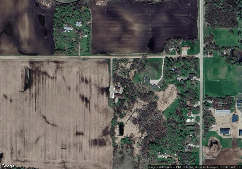
Map
Nearby Homes
- 431 Valley Dr W
- 451 Valley Dr W
- 440 Valley Dr W
- 520 Douglas Dr S
- 511 Douglas Dr S
- 510 Douglas Dr S
- 681 Irwin Cir
- 521 Douglas Dr S
- 341 Florence Ave S
- 391 Florence Ave S
- 381 Florence Ave S
- 371 Florence Ave S
- 361 Florence Ave S
- 401 Florence Ave S
- 311 Florence Ave S
- Olson Plan at Triplett Farms
- Lincoln Plan at Triplett Farms
- Goodhue Plan at Triplett Farms
- Henderson Plan at Triplett Farms
- Hancock Plan at Triplett Farms
- 11585 67th St NW
- 6709 County Road 5 NW
- 11564 67th St NW
- 11564 11564 67th-Street-nw
- 6645 County Road 5 NW
- 6627 County Road 5 NW
- 11762 67th St NW
- 11536 67th St NW
- 6503 County Road 5 NW
- 6571 County Road 5 NW
- 6553 County Road 5 NW
- 6758 County Road 5 NW
- 6598 County Road 5 NW
- 6646 County Road 5 NW
- 6517 County Road 5 NW
- 6486 Mitchell Ave NW
- 6956 County Road 5 NW
- 6986 County Road 5 NW
- 531 Valley Dr W
- 551 Valley Dr W