11692 Wall Rd Caledonia, MN 55921
Estimated Value: $99,000 - $470,000
3
Beds
1
Bath
1,833
Sq Ft
$120/Sq Ft
Est. Value
About This Home
This home is located at 11692 Wall Rd, Caledonia, MN 55921 and is currently estimated at $220,099, approximately $120 per square foot. 11692 Wall Rd is a home located in Houston County with nearby schools including Houston Elementary School and Houston High School.
Ownership History
Date
Name
Owned For
Owner Type
Purchase Details
Closed on
Jan 31, 2025
Sold by
Davis Revocable Trust and Davis Marion
Bought by
Pronschinske Jerome A and Pronschinske Mamie J
Current Estimated Value
Home Financials for this Owner
Home Financials are based on the most recent Mortgage that was taken out on this home.
Original Mortgage
$64,600
Outstanding Balance
$53,062
Interest Rate
6.91%
Mortgage Type
Balloon
Estimated Equity
$167,037
Create a Home Valuation Report for This Property
The Home Valuation Report is an in-depth analysis detailing your home's value as well as a comparison with similar homes in the area
Purchase History
| Date | Buyer | Sale Price | Title Company |
|---|---|---|---|
| Pronschinske Jerome A | $72,000 | None Listed On Document | |
| Litsey Tammy | $5,000 | None Listed On Document |
Source: Public Records
Mortgage History
| Date | Status | Borrower | Loan Amount |
|---|---|---|---|
| Open | Pronschinske Jerome A | $64,600 |
Source: Public Records
Tax History
| Year | Tax Paid | Tax Assessment Tax Assessment Total Assessment is a certain percentage of the fair market value that is determined by local assessors to be the total taxable value of land and additions on the property. | Land | Improvement |
|---|---|---|---|---|
| 2025 | $944 | $98,600 | $24,000 | $74,600 |
| 2024 | $1,090 | $104,400 | $30,500 | $73,900 |
| 2023 | $898 | $107,900 | $40,400 | $67,500 |
| 2022 | $886 | $92,000 | $40,400 | $51,600 |
| 2021 | $896 | $84,500 | $40,400 | $44,100 |
| 2020 | $858 | $84,500 | $40,400 | $44,100 |
| 2019 | $874 | $80,000 | $40,400 | $39,600 |
| 2018 | $834 | $80,900 | $40,400 | $40,500 |
| 2017 | $834 | $50,900 | $25,419 | $25,481 |
| 2016 | $858 | $80,900 | $40,400 | $40,500 |
| 2015 | $858 | $80,900 | $40,400 | $40,500 |
| 2014 | $858 | $51,300 | $25,524 | $25,776 |
Source: Public Records
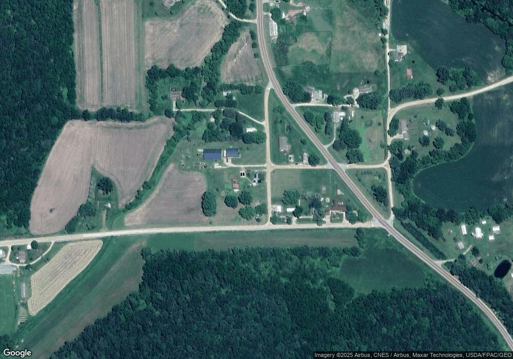
Map
Nearby Homes
- xxx E Twin Ridge Rd
- 9354 County Rd 22
- 8492 Glory Rd
- 811 N Sprague St Unit 1
- 501 S Jefferson St
- 126 Bissen St
- 217 E Grant St
- 118 W Grove St
- 115 E Main St
- 309 E Lincoln St
- 413 S Sherman St
- 103 W South St
- 307 E Main St
- 406 E South St
- 301 Stoddard St
- 307 S Winnebago St
- 720 S Badger St
- 418 E Monroe St
- 12384 Green Acres Dr
- 1004 E Main St
- 11686 Wall Rd
- 17082 Broadway Dr
- 0 Broadway Dr
- XXXX Broadway Dr
- 10795 County 10
- 10707 County 10
- 10707 Cty 10
- 17050 County 11
- 10707 County Road 10
- 17036 Broadway Dr
- 11642 Wall Rd
- 11792 Prairie Ridge Rd
- 10664 County 10
- 11803 Prairie Ridge Rd
- 10685 County 10
- 10683 County 10
- 10629 County 10
- 10683 County 10
- 10629 County 10
- 10629 County 10
Your Personal Tour Guide
Ask me questions while you tour the home.