11697 Tish Rd Howard, OH 43028
Estimated Value: $527,000 - $978,461
3
Beds
2
Baths
1,480
Sq Ft
$509/Sq Ft
Est. Value
About This Home
This home is located at 11697 Tish Rd, Howard, OH 43028 and is currently estimated at $752,731, approximately $508 per square foot. 11697 Tish Rd is a home located in Knox County with nearby schools including East Knox Elementary School and East Knox High School.
Ownership History
Date
Name
Owned For
Owner Type
Purchase Details
Closed on
Jan 29, 2004
Sold by
Douglas Charles P and Douglas Taska
Bought by
Decosky Development Corp
Current Estimated Value
Purchase Details
Closed on
May 29, 2001
Sold by
Merkrebs Isaac and Kathy Al
Bought by
Douglas Charles P and Douglas Taska
Purchase Details
Closed on
Apr 18, 2000
Sold by
Tolley John W
Bought by
Merkrebs Isaac and Kathy Al
Purchase Details
Closed on
Sep 2, 1997
Sold by
Tolley John W
Bought by
Tolley John W
Create a Home Valuation Report for This Property
The Home Valuation Report is an in-depth analysis detailing your home's value as well as a comparison with similar homes in the area
Purchase History
| Date | Buyer | Sale Price | Title Company |
|---|---|---|---|
| Decosky Development Corp | $337,500 | -- | |
| Douglas Charles P | $315,000 | -- | |
| Merkrebs Isaac | $350,000 | -- | |
| Tolley John W | -- | -- |
Source: Public Records
Tax History
| Year | Tax Paid | Tax Assessment Tax Assessment Total Assessment is a certain percentage of the fair market value that is determined by local assessors to be the total taxable value of land and additions on the property. | Land | Improvement |
|---|---|---|---|---|
| 2025 | $4,992 | $123,570 | $129,770 | $74,920 |
| 2024 | $4,992 | $204,690 | $129,770 | $74,920 |
| 2023 | $5,031 | $204,690 | $129,770 | $74,920 |
| 2022 | $3,793 | $145,170 | $92,040 | $53,130 |
| 2021 | $3,793 | $145,170 | $92,040 | $53,130 |
| 2020 | $3,619 | $145,170 | $92,040 | $53,130 |
| 2019 | $4,537 | $127,100 | $68,330 | $58,770 |
| 2018 | $4,252 | $127,100 | $68,330 | $58,770 |
| 2017 | $4,220 | $127,100 | $68,330 | $58,770 |
| 2016 | $4,449 | $110,520 | $59,420 | $51,100 |
| 2015 | $4,055 | $110,520 | $59,420 | $51,100 |
| 2014 | $4,062 | $110,520 | $59,420 | $51,100 |
| 2013 | $3,378 | $104,010 | $53,190 | $50,820 |
Source: Public Records
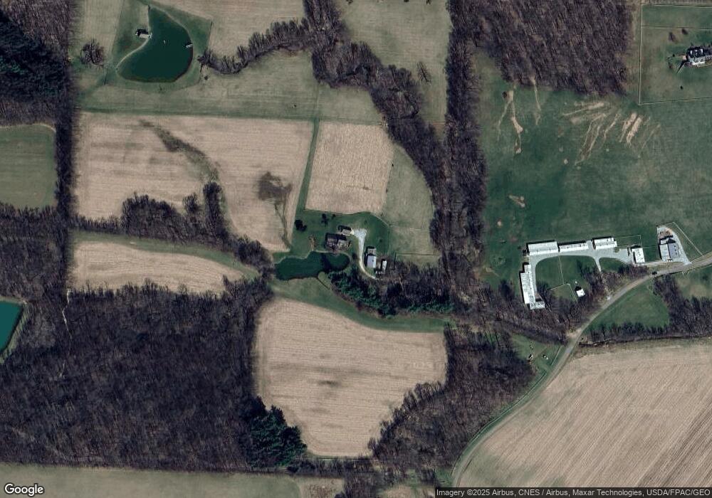
Map
Nearby Homes
- 0 Apple Valley Dr Unit 20260049
- 4053 Apple Valley Dr
- 4045 Apple Valley Dr Unit LOT 10
- 4045 Apple Valley Dr
- 31 Apple Valley Blvd
- 12651 Grant St
- 12354 Mary St
- 4006 Apple Valley Dr
- 1137 Apple Valley Dr
- 12440 Mary St
- 368 Baldwin Dr Lot 55 Orchard Hills Sub
- 0 Howard-Danville Rd
- 01 Grant Rd Rear
- 00 Grant Rd
- 12651 Grant Rd
- 0 Grant Rd Unit 230893
- 63 Appleseed Ct
- 60 Appleseed Ct
- 75 Appleview Ct
- 21311 Coshocton Rd
- 12515 East St
- 22683 Schenck Creek Rd
- 11890 Schenck Creek Rd
- 0 Coshocton Rd Unit L-9 2343527
- 0 Coshocton Rd Unit L-8 2343526
- 0 Coshocton Rd Unit 2239743
- 0 Coshocton Rd Unit LOT1 2231517
- 0 Coshocton Rd
- 11910 Schenck Creek Rd
- 12001 Schenck Creek Rd
- 22821 Coshocton Rd
- 22859 Coshocton Rd
- 22159 Coshocton Rd
- 22879 Coshocton Rd
- 22879 Coshocton Ave
- 22000 Coshocton Rd
- 12020 Schenck Creek Rd
- 22899 Coshocton Rd
- 12010 Schenck Creek Rd
- 12038 Schenck Creek Rd
Your Personal Tour Guide
Ask me questions while you tour the home.