117 Back Bay Rd Pike, NH 03780
Estimated Value: $256,000 - $339,496
3
Beds
1
Bath
1,272
Sq Ft
$228/Sq Ft
Est. Value
About This Home
This home is located at 117 Back Bay Rd, Pike, NH 03780 and is currently estimated at $290,374, approximately $228 per square foot. 117 Back Bay Rd is a home located in Grafton County with nearby schools including Woodsville Elementary School, Haverhill Cooperative Middle School, and Woodsville High School.
Ownership History
Date
Name
Owned For
Owner Type
Purchase Details
Closed on
May 26, 2009
Sold by
Ackerman Julie A
Bought by
Morrison Suzanne L
Current Estimated Value
Home Financials for this Owner
Home Financials are based on the most recent Mortgage that was taken out on this home.
Original Mortgage
$137,500
Outstanding Balance
$87,621
Interest Rate
4.93%
Mortgage Type
Purchase Money Mortgage
Estimated Equity
$202,753
Create a Home Valuation Report for This Property
The Home Valuation Report is an in-depth analysis detailing your home's value as well as a comparison with similar homes in the area
Home Values in the Area
Average Home Value in this Area
Purchase History
| Date | Buyer | Sale Price | Title Company |
|---|---|---|---|
| Morrison Suzanne L | $135,000 | -- |
Source: Public Records
Mortgage History
| Date | Status | Borrower | Loan Amount |
|---|---|---|---|
| Open | Morrison Suzanne L | $137,500 |
Source: Public Records
Tax History Compared to Growth
Tax History
| Year | Tax Paid | Tax Assessment Tax Assessment Total Assessment is a certain percentage of the fair market value that is determined by local assessors to be the total taxable value of land and additions on the property. | Land | Improvement |
|---|---|---|---|---|
| 2024 | $5,321 | $273,700 | $59,400 | $214,300 |
| 2023 | $4,370 | $151,100 | $30,400 | $120,700 |
| 2021 | $3,761 | $151,100 | $30,400 | $120,700 |
| 2020 | $3,449 | $121,400 | $26,400 | $95,000 |
| 2019 | $3,678 | $121,400 | $26,400 | $95,000 |
| 2018 | $3,800 | $121,400 | $26,400 | $95,000 |
| 2017 | $3,768 | $121,400 | $26,400 | $95,000 |
| 2016 | $3,613 | $121,400 | $26,400 | $95,000 |
| 2015 | $3,424 | $116,200 | $23,200 | $93,000 |
| 2014 | $3,164 | $115,100 | $23,200 | $91,900 |
| 2013 | $3,020 | $115,100 | $23,200 | $91,900 |
Source: Public Records
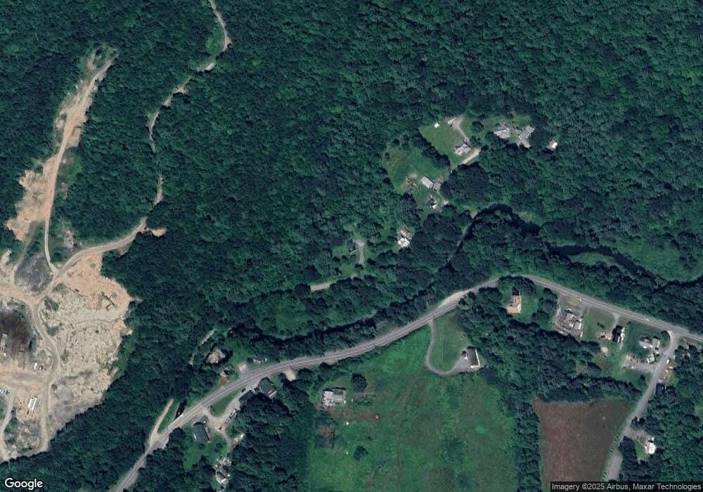
Map
Nearby Homes
- 00 Jeffers Hill Rd Unit 13
- 400 Lily Pond Rd
- 00 Brushwood Rd
- 00 Brushwood Rd Unit 104
- 00 Brushwood Rd Unit 105
- 510 Lily Pond Rd
- 538 Lily Pond Rd
- 823 Country Land Dr
- 1354 Brushwood Rd
- 620 Country Land Dr
- 00 Court St
- 19 Lime Kiln Rd
- Lot 123 Paulsen Cir
- 2877 Mount Moosilauke Hwy
- 1842 County Rd
- 100 Oliverian Heights Rd
- 52 School St
- 573 Route 25c
- 235 Dartmouth College Hwy
- 194 Dartmouth College Hwy
- 143 Back Bay Rd
- 165 Back Bay Rd
- 189 Back Bay Rd
- 1371 Mount Moosilauke Hwy
- 1586 Mount Moosilauke Hwy
- 1571 Mount Moosilauke Hwy
- 1700 Mount Moosilauke Hwy
- 1572 Mount Moosilauke Hwy
- 201 Back Bay Rd
- 19 Anderson Ln
- 21 Anderson Ln
- 23 Anderson Ln
- 23 Anderson Ln
- 1736 Mount Moosilauke Hwy
- 6 Lily Pond Rd
- 23 Lily Pond Rd
- 0 Mount Moosilauke Hwy Unit 4921168
- 47 Lily Pond Rd
- 1320 Mount Moosilauke Hwy
- 1428 Mt Moosilauke Hwy