117 Berms Circle #6 Branson, MO 65616
Table Rock NeighborhoodEstimated Value: $357,000 - $383,000
3
Beds
3
Baths
2,150
Sq Ft
$173/Sq Ft
Est. Value
About This Home
This home is located at 117 Berms Circle #6, Branson, MO 65616 and is currently estimated at $371,505, approximately $172 per square foot. 117 Berms Circle #6 is a home located in Taney County with nearby schools including Cedar Ridge Primary, Cedar Ridge Intermediate School, and Cedar Ridge Elementary School.
Ownership History
Date
Name
Owned For
Owner Type
Purchase Details
Closed on
Jan 10, 2014
Sold by
Scholl Loren and Scholl Laura
Bought by
Creel John H and Creel Faye
Current Estimated Value
Purchase Details
Closed on
Feb 14, 2006
Sold by
Robertson Bob G and Robertson Lana
Bought by
Bockman Jeffrey Scott
Home Financials for this Owner
Home Financials are based on the most recent Mortgage that was taken out on this home.
Original Mortgage
$165,000
Interest Rate
6.05%
Mortgage Type
New Conventional
Create a Home Valuation Report for This Property
The Home Valuation Report is an in-depth analysis detailing your home's value as well as a comparison with similar homes in the area
Home Values in the Area
Average Home Value in this Area
Purchase History
| Date | Buyer | Sale Price | Title Company |
|---|---|---|---|
| Creel John H | -- | None Available | |
| Bockman Jeffrey Scott | -- | -- |
Source: Public Records
Mortgage History
| Date | Status | Borrower | Loan Amount |
|---|---|---|---|
| Previous Owner | Bockman Jeffrey Scott | $165,000 |
Source: Public Records
Tax History
| Year | Tax Paid | Tax Assessment Tax Assessment Total Assessment is a certain percentage of the fair market value that is determined by local assessors to be the total taxable value of land and additions on the property. | Land | Improvement |
|---|---|---|---|---|
| 2025 | $3,857 | $65,730 | -- | -- |
| 2023 | $3,857 | $70,170 | $0 | $0 |
| 2022 | $2,236 | $42,559 | $0 | $0 |
| 2021 | $2,222 | $60,240 | $0 | $0 |
| 2019 | $1,998 | $36,730 | $0 | $0 |
| 2018 | $1,686 | $31,100 | $0 | $0 |
| 2017 | $1,325 | $24,800 | $0 | $0 |
| 2016 | $1,322 | $24,800 | $0 | $0 |
| 2015 | $1,309 | $24,800 | $0 | $0 |
| 2014 | $1,343 | $26,660 | $0 | $0 |
Source: Public Records
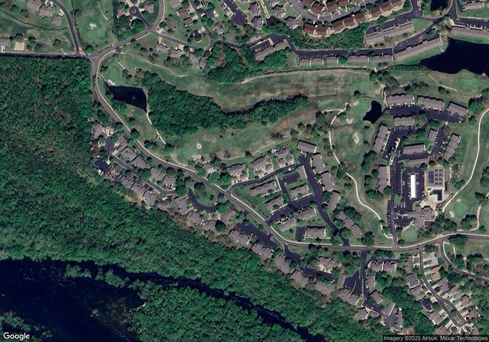
Map
Nearby Homes
- 169 Highland Dr Unit 1
- 169 Highland Dr Unit 7
- 169 Highland Dr Unit 8
- 151 Highland Dr Unit 55-3
- 151 Highland Dr Unit 6
- 186 Bunker Ridge Dr Unit 10
- 170 Bunker Ridge Dr Unit 12
- 160 Mulligan Dr Unit 4
- 160 Mulligan Ln Unit 3
- 112 Overlook Dr Unit 3
- 112 Overlook Dr Unit 2
- 146 Bunker Ridge Dr Unit 1
- 146 Mulligan Dr Unit 2
- 123 Bunker Ridge Dr Unit 4
- 126 Overlook Dr Unit 3
- 126 Overlook Dr Unit 5
- 230 Turnberry Dr Unit 1
- 187 Clubhouse Dr Unit 23
- 187 Clubhouse Dr Unit 19
- 243 Clubhouse Dr Unit 20
- 117 Berms Cir Unit 3
- 117 Berms Cir Unit 6
- 117 Berms Cir Unit 45-6
- 117 Berms Cir Unit 4
- 117 Berms Cir Unit 2
- 127 Berms Circle Unit 1 Bld 46
- 127 Berms 46-3 Cir Unit 3
- 127 Berms Cir Unit 1
- 127 Berms Cir Unit 5
- 127 Berms Cir Unit 2
- 127 Berms Circle (46-2)
- 127 Berms Cir Unit 4
- 127 Berms Circle #6
- 169 Highland Drive #10 Unit 10
- 169 Highland Dr #3 Unit 3
- 169 Highland Dr Unit 10
- 169 Highland Dr Unit 9
- 169 Highland Dr Unit 5
- 169 Highland Dr Unit 4
- 169 Highland Dr Unit 2
Your Personal Tour Guide
Ask me questions while you tour the home.