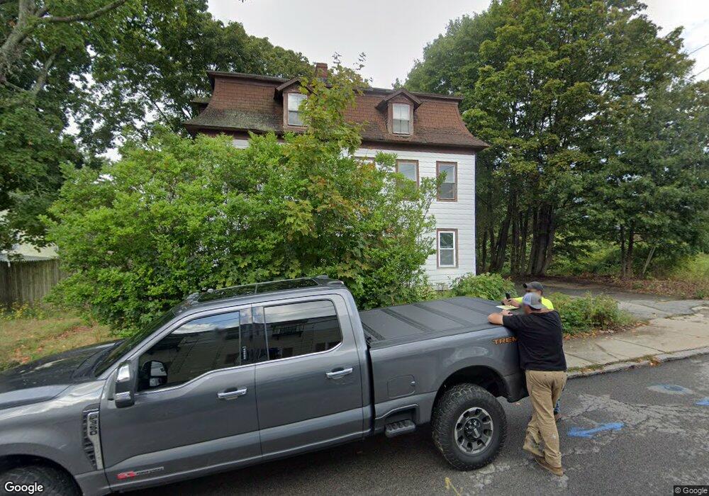
117 Brookside Ave West Warwick, RI 02893
Centreville NeighborhoodEstimated Value: $430,770 - $621,000
6
Beds
3
Baths
2,366
Sq Ft
$213/Sq Ft
Est. Value
About This Home
This home is located at 117 Brookside Ave, West Warwick, RI 02893 and is currently estimated at $503,443, approximately $212 per square foot. 117 Brookside Ave is a home located in Kent County with nearby schools including West Warwick High School.
Ownership History
Date
Name
Owned For
Owner Type
Purchase Details
Closed on
Dec 16, 2016
Sold by
Eshekarchi John
Bought by
Bouchard Nicole E
Current Estimated Value
Purchase Details
Closed on
Oct 27, 2016
Sold by
Lenders Default T
Bought by
Bouchard Nicole E
Purchase Details
Closed on
Oct 26, 1999
Sold by
Comery John A and Comery Lori A
Bought by
Beuchard Brian R and Beauchard Nicole E
Home Financials for this Owner
Home Financials are based on the most recent Mortgage that was taken out on this home.
Original Mortgage
$80,250
Interest Rate
7.83%
Create a Home Valuation Report for This Property
The Home Valuation Report is an in-depth analysis detailing your home's value as well as a comparison with similar homes in the area
Home Values in the Area
Average Home Value in this Area
Purchase History
| Date | Buyer | Sale Price | Title Company |
|---|---|---|---|
| Bouchard Nicole E | -- | -- | |
| Bouchard Nicole E | -- | -- | |
| Beuchard Brian R | $107,000 | -- |
Source: Public Records
Mortgage History
| Date | Status | Borrower | Loan Amount |
|---|---|---|---|
| Previous Owner | Beuchard Brian R | $140,000 | |
| Previous Owner | Beuchard Brian R | $126,750 | |
| Previous Owner | Beuchard Brian R | $80,250 | |
| Closed | Beuchard Brian R | $21,400 |
Source: Public Records
Tax History
| Year | Tax Paid | Tax Assessment Tax Assessment Total Assessment is a certain percentage of the fair market value that is determined by local assessors to be the total taxable value of land and additions on the property. | Land | Improvement |
|---|---|---|---|---|
| 2025 | $5,296 | $346,400 | $84,500 | $261,900 |
| 2024 | $4,731 | $231,100 | $53,700 | $177,400 |
| 2023 | $4,638 | $231,100 | $53,700 | $177,400 |
| 2022 | $4,564 | $231,100 | $53,700 | $177,400 |
| 2021 | $4,836 | $161,800 | $44,100 | $117,700 |
| 2020 | $4,836 | $161,800 | $44,100 | $117,700 |
| 2019 | $4,744 | $161,800 | $44,100 | $117,700 |
| 2018 | $5,225 | $133,300 | $41,400 | $91,900 |
| 2017 | $5,059 | $133,300 | $41,400 | $91,900 |
| 2016 | $4,968 | $133,300 | $41,400 | $91,900 |
| 2015 | $5,024 | $134,800 | $41,400 | $93,400 |
| 2014 | $1,228 | $134,800 | $41,400 | $93,400 |
Source: Public Records
Map
Nearby Homes
- 121 Brookside Ave
- 118 Brookside Ave
- 122 Brookside Ave Unit B
- 122 Brookside Ave Unit 1
- 122 Brookside Ave Unit 3
- 122 Brookside Ave Unit 2
- 11 Crossen St
- 127 Brookside Ave
- 124 Brookside Ave
- 126 Brookside Ave
- 1343 Main St
- 1369 Main St
- 1375 Main St
- 128 Brookside Ave
- 1365 Main St
- 1379 Main St
- 1353 Main St
- 130 Brookside Ave
- 1387 Main St
- 1387 Main St Unit 1387 Main
Your Personal Tour Guide
Ask me questions while you tour the home.