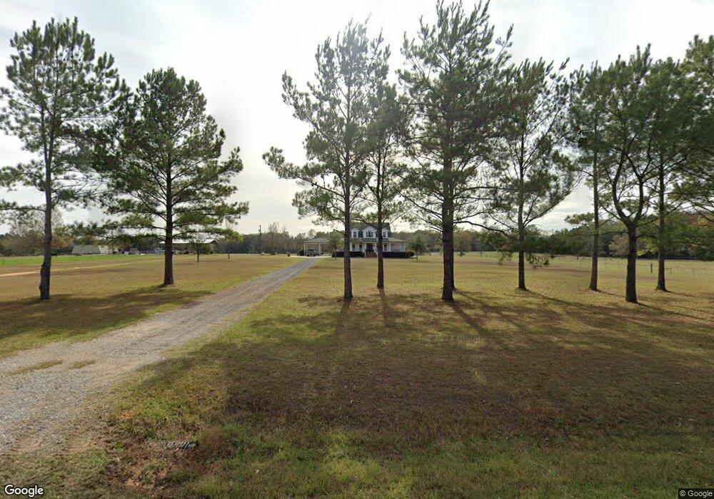
117 Butterfly Ln Lucedale, MS 39452
Estimated Value: $255,000 - $401,000
Studio
1
Bath
3,140
Sq Ft
$105/Sq Ft
Est. Value
About This Home
This home is located at 117 Butterfly Ln, Lucedale, MS 39452 and is currently estimated at $329,777, approximately $105 per square foot. 117 Butterfly Ln is a home with nearby schools including George County High School.
Ownership History
Date
Name
Owned For
Owner Type
Purchase Details
Closed on
Jun 17, 2013
Sold by
Eubanks John P
Bought by
Holland Joseph T and Holland Cassie L
Current Estimated Value
Home Financials for this Owner
Home Financials are based on the most recent Mortgage that was taken out on this home.
Original Mortgage
$247,500
Outstanding Balance
$175,774
Interest Rate
3.53%
Mortgage Type
Purchase Money Mortgage
Estimated Equity
$154,003
Purchase Details
Closed on
Jun 5, 2010
Sold by
Williams Thomas Mark and Williams Melanie
Bought by
Eubanks John P and Eubanks Kristina S
Create a Home Valuation Report for This Property
The Home Valuation Report is an in-depth analysis detailing your home's value as well as a comparison with similar homes in the area
Purchase History
| Date | Buyer | Sale Price | Title Company |
|---|---|---|---|
| Holland Joseph T | -- | -- | |
| Eubanks John P | -- | -- |
Source: Public Records
Mortgage History
| Date | Status | Borrower | Loan Amount |
|---|---|---|---|
| Open | Holland Joseph T | $247,500 |
Source: Public Records
Tax History
| Year | Tax Paid | Tax Assessment Tax Assessment Total Assessment is a certain percentage of the fair market value that is determined by local assessors to be the total taxable value of land and additions on the property. | Land | Improvement |
|---|---|---|---|---|
| 2025 | $3,803 | $35,444 | $0 | $0 |
| 2024 | $3,514 | $28,712 | $0 | $0 |
| 2023 | $3,511 | $28,718 | $0 | $0 |
| 2022 | $3,512 | $28,725 | $0 | $0 |
| 2021 | $3,512 | $28,731 | $0 | $0 |
| 2019 | $3,298 | $26,981 | $0 | $0 |
| 2018 | $3,299 | $26,990 | $0 | $0 |
| 2015 | -- | $27,720 | $0 | $0 |
| 2014 | -- | $27,677 | $0 | $0 |
Source: Public Records
Map
Nearby Homes
- 1130 Dozier Rogers Rd
- 8105 Highway 613
- 182 Blue Lakes Dr
- 28 Acres Harmon Pope Rd
- 120 Trevor Ln
- 118 Trevor Ln
- 188 Devaughn Rd
- 117 Parker Rd
- 76 Acres Mississippi 612
- 196C Easley Rd
- 220 Marshall Smith Rd
- 206 Marshall Smith Rd
- 2203 Cooks Corner Rd
- 0 Marshall Smith Rd Unit 4135585
- 1214 Marshall Smith Rd
- 242 A Baxter Ave
- 0 Cooks Corner Rd
- 337 V E Howell Rd
- 1164 Cooks Corner Rd
- 0 Ccc Rd
- 180 Highway 612
- 184 Highway 612
- 200 Highway 612
- 161 Highway 612
- 158 Highway 612
- 134 Highway 612
- 133 Highway 612
- 1145 E Fire Department Rd
- 129 Highway 612
- 224 Highway 612
- 264B Highway 612
- 230 Highway 612
- 1118 E Fire Department Rd
- 253 Highway 612
- 253 Highway 612
- 1137 E Fire Department Rd
- 185A Bennie Wall Rd
- 107 Agricola Latonia Rd
- 300 E Fire Department Rd
- 202 Bennie Wall Rd
Your Personal Tour Guide
Ask me questions while you tour the home.