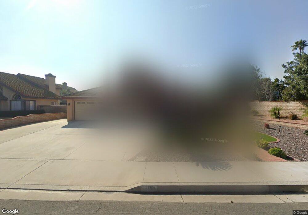
117 Cannon Rd Riverside, CA 92506
Mission Grove NeighborhoodEstimated Value: $651,000 - $822,000
About This Home
This home is located at 117 Cannon Rd, Riverside, CA 92506 and is currently estimated at $755,833, approximately $339 per square foot. 117 Cannon Rd is a home located in Riverside County with nearby schools including William Howard Taft Elementary School, Amelia Earhart Middle School, and Martin Luther King Junior High School.
Ownership History
We collect this data history from publicly available records. To have your information removed, we recommend requesting removal directly through your county’s website.
Purchase Details
Purchase Details
Home Values in the Area
Average Home Value in this Area
Purchase History
We collect this data history from publicly available records. To have your information removed, we recommend requesting removal directly through your county’s website.
| Date | Buyer | Sale Price | Title Company |
|---|---|---|---|
| -- | None Listed On Document | ||
| -- | None Available |
Mortgage History
We collect this data history from publicly available records. To have your information removed, we recommend requesting removal directly through your county’s website.
| Date | Status | Borrower | Loan Amount |
|---|---|---|---|
| Previous Owner | $265,000 | ||
| Previous Owner | $294,100 | ||
| Previous Owner | $75,000 | ||
| Previous Owner | $325,000 | ||
| Previous Owner | $25,000 | ||
| Previous Owner | $175,000 | ||
| Previous Owner | $146,000 |
Tax History
We collect this data history from publicly available records. To have your information removed, we recommend requesting removal directly through your county’s website.
| Year | Tax Paid | Tax Assessment Tax Assessment Total Assessment is a certain percentage of the fair market value that is determined by local assessors to be the total taxable value of land and additions on the property. | Land | Improvement |
|---|---|---|---|---|
| 2025 | $3,232 | $302,230 | $65,654 | $236,576 |
| 2023 | $3,232 | $290,496 | $63,105 | $227,391 |
| 2022 | $3,156 | $284,801 | $61,868 | $222,933 |
| 2021 | $3,121 | $279,217 | $60,655 | $218,562 |
| 2020 | $3,097 | $276,355 | $60,034 | $216,321 |
| 2019 | $3,037 | $270,937 | $58,857 | $212,080 |
| 2018 | $2,977 | $265,625 | $57,704 | $207,921 |
| 2017 | $2,923 | $260,418 | $56,573 | $203,845 |
| 2016 | $2,736 | $255,313 | $55,464 | $199,849 |
| 2015 | $2,696 | $251,481 | $54,632 | $196,849 |
| 2014 | $2,679 | $246,557 | $53,563 | $192,994 |
Map
- 110 Sandpoint Ln
- 165 Cottonwood Ave
- 7158 Foxcroft St
- 7350 Hyannis Ct
- 901 Clearwood Ave
- 6995 Mission Grove Pkwy N
- 7158 Golden Vale Dr
- 19121 Broken Bow Dr
- 19166 Pemberton Place
- 7639 Hillhurst Dr
- 352 Leafwood Ct
- 19230 Vintage Woods Dr
- 7007 Golden Vale Dr
- 1210 Versailles Cir
- 1246 Versailles Cir
- 14435 Wood Rd
- 6801 Rycroft Dr
- 14420 Merlot Ct
- 14119 Ashton Ln
- 7361 Via Vista Dr
Ask me questions while you tour the home.