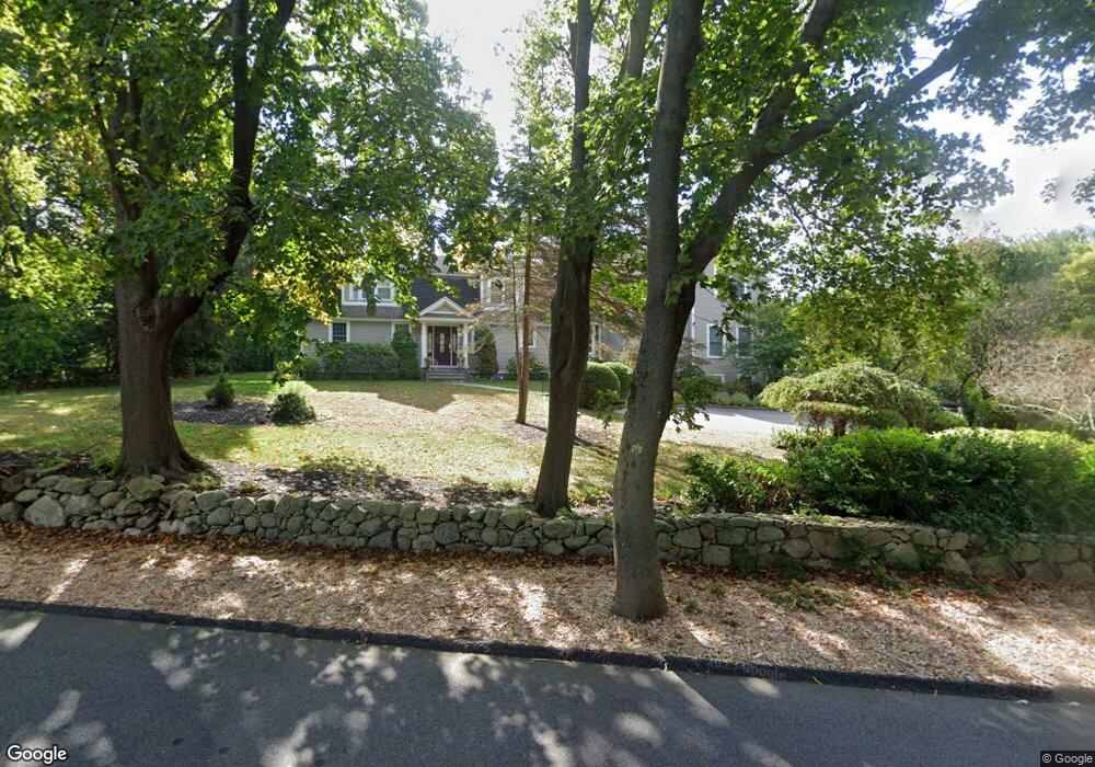
117 Captain Peirce Rd Scituate, MA 02066
Estimated Value: $1,364,000 - $2,086,000
4
Beds
3
Baths
2,700
Sq Ft
$666/Sq Ft
Est. Value
About This Home
This home is located at 117 Captain Peirce Rd, Scituate, MA 02066 and is currently estimated at $1,797,312, approximately $665 per square foot. 117 Captain Peirce Rd is a home located in Plymouth County with nearby schools including Cushing Elementary School, Lester J. Gates Middle School, and Scituate High School.
Ownership History
Date
Name
Owned For
Owner Type
Purchase Details
Closed on
Aug 1, 2017
Sold by
Clinton Ian A and Clinton Maria D
Bought by
Rd 117 Captain Pierce
Current Estimated Value
Purchase Details
Closed on
Aug 14, 1996
Sold by
Frank Jeffrey
Bought by
Clinton Ian A and Clinton Maria D
Create a Home Valuation Report for This Property
The Home Valuation Report is an in-depth analysis detailing your home's value as well as a comparison with similar homes in the area
Home Values in the Area
Average Home Value in this Area
Purchase History
| Date | Buyer | Sale Price | Title Company |
|---|---|---|---|
| Rd 117 Captain Pierce | -- | -- | |
| Clinton Ian A | $277,000 | -- |
Source: Public Records
Mortgage History
| Date | Status | Borrower | Loan Amount |
|---|---|---|---|
| Previous Owner | Clinton Ian A | $439,000 |
Source: Public Records
Tax History
| Year | Tax Paid | Tax Assessment Tax Assessment Total Assessment is a certain percentage of the fair market value that is determined by local assessors to be the total taxable value of land and additions on the property. | Land | Improvement |
|---|---|---|---|---|
| 2025 | $14,887 | $1,490,200 | $387,500 | $1,102,700 |
| 2024 | $14,856 | $1,434,000 | $352,300 | $1,081,700 |
| 2023 | $14,129 | $1,290,100 | $338,100 | $952,000 |
| 2022 | $14,129 | $1,119,600 | $309,600 | $810,000 |
| 2021 | $13,475 | $1,010,900 | $294,800 | $716,100 |
| 2020 | $13,045 | $966,300 | $283,400 | $682,900 |
| 2019 | $12,792 | $931,000 | $277,900 | $653,100 |
| 2018 | $11,612 | $832,400 | $287,800 | $544,600 |
| 2017 | $11,297 | $801,800 | $276,300 | $525,500 |
| 2016 | $11,012 | $778,800 | $253,300 | $525,500 |
| 2015 | $10,052 | $767,300 | $241,800 | $525,500 |
Source: Public Records
Map
Nearby Homes
- 629 Country Way
- 54 Woodland Rd
- 33 Rosas Ln
- 74 Branch St Unit 15
- 7 3 Ring Rd
- 11 Forest Ln
- 9 Forest Ln Unit 9
- 327 Country Way
- 26 Mordecai Lincoln Rd
- 537 First Parish Rd
- 20 Lee Ave
- 20 Grace Way Unit 20
- 6 Grace Way Unit 6
- 27 Grace Way
- 115 Elm St
- 17 Bradford Ave
- 111 Elm St
- 817 Country Way
- 627 First Parish Rd
- 38 Lauren Ln
- 109 Captain Peirce Rd
- 116 Captain Peirce Rd
- 116 Captain Peirce Rd
- 118 Captain Peirce Rd
- 124 Captain Peirce Rd
- 125 Captain Pierce Rd
- 127 Captain Peirce Rd
- 110 Captain Peirce Rd
- 49 Whittier Dr
- 101 Captain Peirce Rd
- 48 Whittier Dr
- 48 Whittier Dr Unit 1
- 48 Whittier Dr Unit 2
- 145 Captain Pierce Rd
- 43 Whittier Dr
- 126 Captain Pierce Rd
- 140 Captain Pierce Rd
- 126 Captain Peirce Rd
- 140 Captain Peirce Rd
- 95 Captain Peirce Rd
Your Personal Tour Guide
Ask me questions while you tour the home.