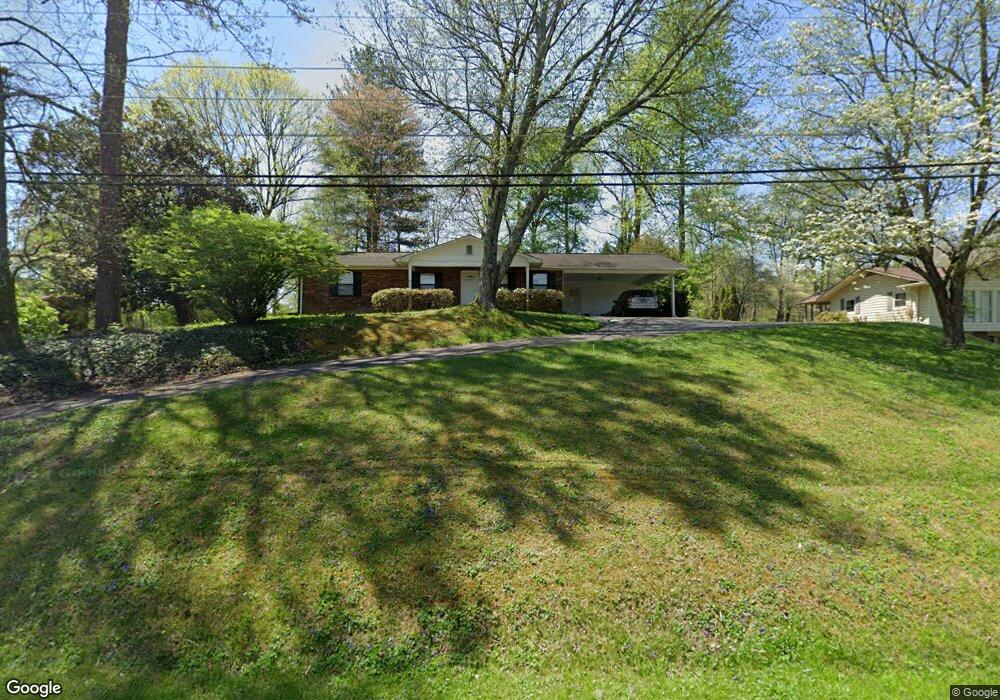
117 Cedar Rd Clinton, TN 37716
Marlow NeighborhoodEstimated Value: $261,819 - $332,000
Studio
2
Baths
1,316
Sq Ft
$220/Sq Ft
Est. Value
About This Home
This home is located at 117 Cedar Rd, Clinton, TN 37716 and is currently estimated at $288,955, approximately $219 per square foot. 117 Cedar Rd is a home located in Anderson County with nearby schools including Norwood Elementary School, Norwood Middle School, and Clinton High School.
Ownership History
Date
Name
Owned For
Owner Type
Purchase Details
Closed on
Aug 29, 2007
Sold by
Beard Larry J
Bought by
Beard John D
Current Estimated Value
Purchase Details
Closed on
Sep 7, 2004
Sold by
Kerbyson Keith B
Bought by
Beard Larry J
Home Financials for this Owner
Home Financials are based on the most recent Mortgage that was taken out on this home.
Original Mortgage
$92,700
Interest Rate
6.01%
Purchase Details
Closed on
Aug 31, 1995
Sold by
Rehfeldt Warren R
Bought by
Kerbyson Keith
Purchase Details
Closed on
Sep 27, 1988
Bought by
Rehfeldt Warren R and Rehfeldt Wife Judith A
Create a Home Valuation Report for This Property
The Home Valuation Report is an in-depth analysis detailing your home's value as well as a comparison with similar homes in the area
Home Values in the Area
Average Home Value in this Area
Purchase History
| Date | Buyer | Sale Price | Title Company |
|---|---|---|---|
| Beard John D | $132,000 | -- | |
| Beard Larry J | $103,000 | -- | |
| Kerbyson Keith | $72,500 | -- | |
| Rehfeldt Warren R | $59,500 | -- |
Source: Public Records
Mortgage History
| Date | Status | Borrower | Loan Amount |
|---|---|---|---|
| Previous Owner | Rehfeldt Warren R | $92,700 |
Source: Public Records
Tax History
| Year | Tax Paid | Tax Assessment Tax Assessment Total Assessment is a certain percentage of the fair market value that is determined by local assessors to be the total taxable value of land and additions on the property. | Land | Improvement |
|---|---|---|---|---|
| 2025 | $946 | $65,950 | $13,750 | $52,200 |
| 2024 | $946 | $36,000 | $6,250 | $29,750 |
| 2023 | $946 | $36,000 | $0 | $0 |
| 2022 | $946 | $36,000 | $6,250 | $29,750 |
| 2021 | $946 | $36,000 | $6,250 | $29,750 |
| 2020 | $935 | $36,000 | $6,250 | $29,750 |
| 2019 | $969 | $33,525 | $6,250 | $27,275 |
| 2018 | $935 | $33,525 | $6,250 | $27,275 |
| 2017 | $935 | $33,525 | $6,250 | $27,275 |
| 2016 | $935 | $33,525 | $6,250 | $27,275 |
| 2015 | -- | $33,525 | $6,250 | $27,275 |
| 2014 | -- | $33,525 | $6,250 | $27,275 |
| 2013 | -- | $29,575 | $0 | $0 |
Source: Public Records
Map
Nearby Homes
- 236 Loggers Ln
- 118 Westlook Cir
- 102 Osage Rd
- 313 W Outer Dr
- 158 Batley Loop Rd
- 153 Wade Ln
- 105 Pomona Rd
- 111 Porter Rd
- 113 Pomona Rd
- 0 Haney Hollow Rd
- 147 Waddell Cir
- 510 Michigan Ave
- 113 S Walker Ln
- 104 Marion Rd
- 109 W Malta Rd
- 111 Kingsley Rd
- 116 S Walker Ln
- 129 E Wadsworth Cir
- 106 Nesper Rd
- 118 E Newkirk Ln
Your Personal Tour Guide
Ask me questions while you tour the home.