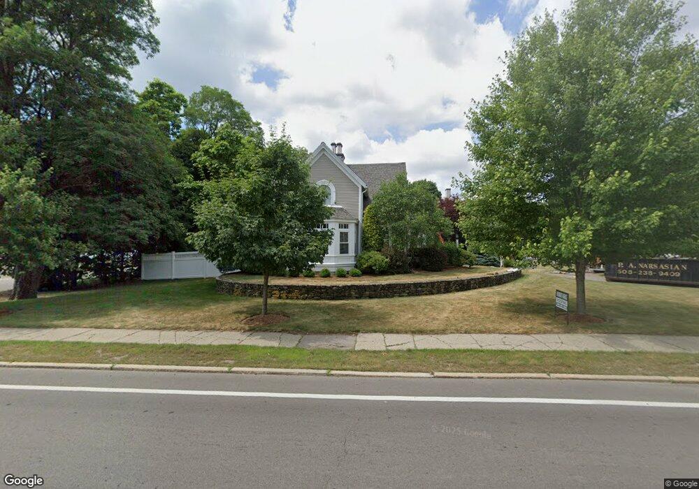
117 Central St Unit 1 Foxboro, MA 02035
Estimated Value: $921,736 - $1,192,000
5
Beds
4
Baths
4,050
Sq Ft
$266/Sq Ft
Est. Value
About This Home
This home is located at 117 Central St Unit 1, Foxboro, MA 02035 and is currently estimated at $1,075,434, approximately $265 per square foot. 117 Central St Unit 1 is a home located in Norfolk County with nearby schools including Foxborough High School, Foxborough Regional Charter School, and The Sage School.
Ownership History
Date
Name
Owned For
Owner Type
Purchase Details
Closed on
Dec 30, 2011
Sold by
Ep Carpenter Llc
Bought by
Geissler Gavin and Geissler Mary L
Current Estimated Value
Home Financials for this Owner
Home Financials are based on the most recent Mortgage that was taken out on this home.
Original Mortgage
$434,400
Outstanding Balance
$298,097
Interest Rate
4%
Mortgage Type
Purchase Money Mortgage
Estimated Equity
$777,337
Purchase Details
Closed on
Aug 29, 2006
Sold by
Gulberg
Bought by
Epcarpenter Llc
Create a Home Valuation Report for This Property
The Home Valuation Report is an in-depth analysis detailing your home's value as well as a comparison with similar homes in the area
Home Values in the Area
Average Home Value in this Area
Purchase History
| Date | Buyer | Sale Price | Title Company |
|---|---|---|---|
| Geissler Gavin | $543,000 | -- | |
| Epcarpenter Llc | $300,000 | -- | |
| Gulberg | -- | -- | |
| Gulberg | -- | -- |
Source: Public Records
Mortgage History
| Date | Status | Borrower | Loan Amount |
|---|---|---|---|
| Open | Geissler Gavin | $434,400 | |
| Closed | Gulberg | $434,400 |
Source: Public Records
Tax History Compared to Growth
Tax History
| Year | Tax Paid | Tax Assessment Tax Assessment Total Assessment is a certain percentage of the fair market value that is determined by local assessors to be the total taxable value of land and additions on the property. | Land | Improvement |
|---|---|---|---|---|
| 2025 | $10,174 | $769,600 | $186,800 | $582,800 |
| 2024 | $10,189 | $754,200 | $201,300 | $552,900 |
| 2023 | $9,616 | $676,700 | $191,700 | $485,000 |
| 2022 | $9,637 | $663,700 | $171,800 | $491,900 |
| 2021 | $9,656 | $655,100 | $163,200 | $491,900 |
| 2020 | $9,545 | $655,100 | $163,200 | $491,900 |
| 2019 | $9,323 | $634,200 | $163,600 | $470,600 |
| 2018 | $8,373 | $574,700 | $155,400 | $419,300 |
| 2017 | $7,836 | $521,000 | $152,900 | $368,100 |
| 2016 | $7,761 | $523,700 | $147,100 | $376,600 |
| 2015 | $7,774 | $511,800 | $109,600 | $402,200 |
| 2014 | $7,672 | $511,800 | $109,600 | $402,200 |
Source: Public Records
Map
Nearby Homes
- 11 W Belcher Rd Unit 2
- 84 Cocasset St Unit A6
- 24 Mechanic St
- 18 Winter St Unit E
- 14 Winter St Unit B
- 14 Baker St
- 12 Spring St
- 356 Central St
- 80 Mill St
- 73 Ridge Rd
- 186 Mechanic St
- 9 Independence Dr Unit 9
- 132 Cannon Forge Dr
- 35 Independence Dr Unit 35
- 619 N Main St
- 170 Cannon Forge Dr
- 277 Central St
- 89 Oak St
- 44 Angell St Unit 44
- 28 Angell St
- 117 Central St
- 117 Central St Duplex Lot
- 7 W Leonard St
- 120 Central St
- 115 Central St
- 115 Central St Unit 2
- 118 Central St
- 8 W Leonard St
- 8 W Leonard St
- 10 Clark St
- 10 W Leonard St
- 111 Central St
- 67 Leonard St
- 67 Leonard St
- 67 Leonard St Unit B
- 10-1/2 W Leonard St
- 116 Central St
- 116 Central St Unit B
- 116 Central St
- 116 Central St Unit J