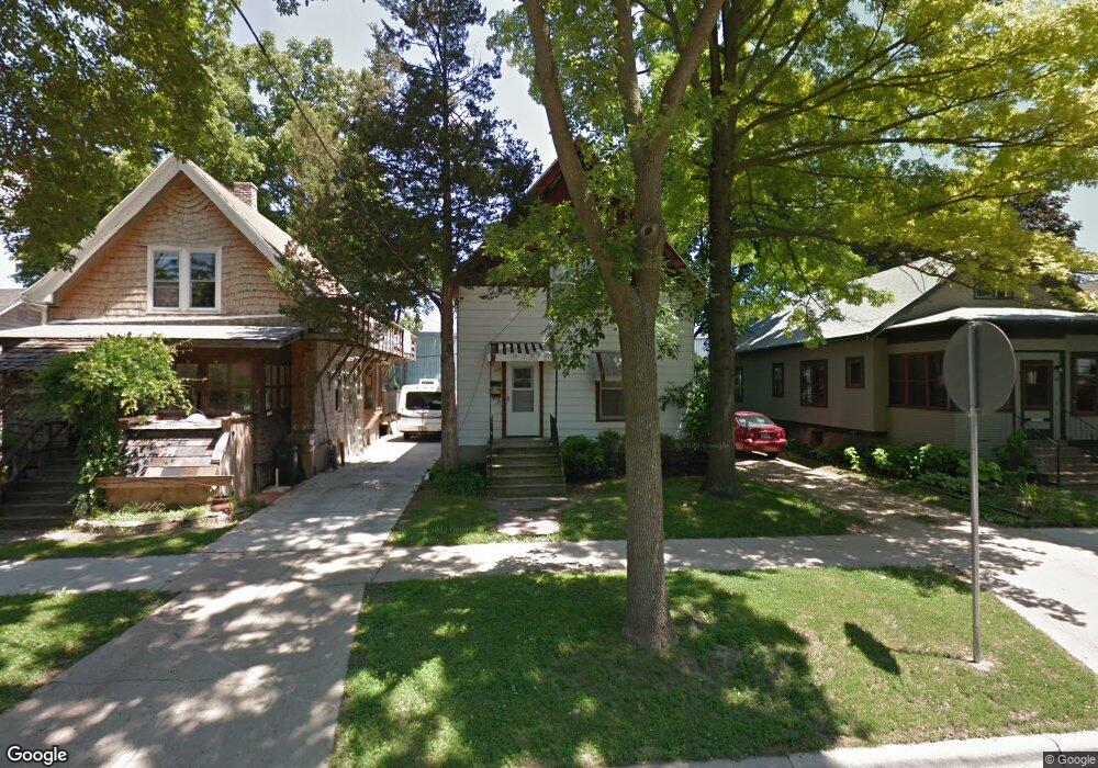
117 Corry St Unit 1 Madison, WI 53704
Atwood NeighborhoodEstimated Value: $337,000 - $394,000
2
Beds
2
Baths
1,346
Sq Ft
$271/Sq Ft
Est. Value
About This Home
This home is located at 117 Corry St Unit 1, Madison, WI 53704 and is currently estimated at $364,682, approximately $270 per square foot. 117 Corry St Unit 1 is a home located in Dane County with nearby schools including Lowell Elementary School, O'Keeffe Middle, and East High School.
Ownership History
Date
Name
Owned For
Owner Type
Purchase Details
Closed on
Dec 31, 2025
Sold by
Goll Bradley J and Goll Traci T
Bought by
Btg Apartments Llc
Current Estimated Value
Purchase Details
Closed on
May 20, 2016
Sold by
Goll Bradley J and Goll Traci T
Bought by
Goll Bradley J and Goll Traci T
Home Financials for this Owner
Home Financials are based on the most recent Mortgage that was taken out on this home.
Original Mortgage
$84,000
Interest Rate
3.61%
Mortgage Type
New Conventional
Purchase Details
Closed on
Jun 13, 2005
Sold by
Goll Bradley J and Goll Traci T
Bought by
Goll Bradley J and Goll Traci T
Create a Home Valuation Report for This Property
The Home Valuation Report is an in-depth analysis detailing your home's value as well as a comparison with similar homes in the area
Home Values in the Area
Average Home Value in this Area
Purchase History
| Date | Buyer | Sale Price | Title Company |
|---|---|---|---|
| Btg Apartments Llc | -- | None Listed On Document | |
| Goll Bradley J | -- | Nations Title Agency Mn Inc | |
| Goll Bradley J | -- | None Available |
Source: Public Records
Mortgage History
| Date | Status | Borrower | Loan Amount |
|---|---|---|---|
| Previous Owner | Goll Bradley J | $84,000 |
Source: Public Records
Tax History
| Year | Tax Paid | Tax Assessment Tax Assessment Total Assessment is a certain percentage of the fair market value that is determined by local assessors to be the total taxable value of land and additions on the property. | Land | Improvement |
|---|---|---|---|---|
| 2024 | $10,458 | $300,100 | $71,600 | $228,500 |
| 2023 | $5,039 | $280,500 | $71,600 | $208,900 |
| 2022 | $10,123 | $259,700 | $66,300 | $193,400 |
| 2021 | $4,769 | $225,800 | $63,100 | $162,700 |
| 2020 | $4,619 | $209,100 | $58,400 | $150,700 |
| 2019 | $4,412 | $199,100 | $51,700 | $147,400 |
| 2018 | $4,113 | $186,100 | $51,700 | $134,400 |
| 2017 | $3,978 | $173,900 | $43,100 | $130,800 |
| 2016 | $3,890 | $165,600 | $43,100 | $122,500 |
| 2015 | $3,740 | $150,200 | $43,100 | $107,100 |
| 2014 | $3,561 | $150,200 | $43,100 | $107,100 |
| 2013 | $3,271 | $144,400 | $41,400 | $103,000 |
Source: Public Records
Map
Nearby Homes
- 2689 Milwaukee St
- 2418 Bashford Ave
- 185 Ohio Ave Unit 2
- 206 Dixon St
- 2528 E Washington Ave
- 2926 Milwaukee St
- 2205 Winnebago St
- 2638 E Lawn Ct
- 2122 Sommers Ave
- 2146 Winnebago St
- 3014 Union St
- 2670 Hoard St Unit 1
- 2330 Upham St
- 2617 Hoard St
- 330 Amoth Ct Unit D
- 2122 E Johnson St
- 2852 Commercial Ave
- 2025 E Dayton St
- 3401 Dawes St Unit 1
- 113 Leon St
- 113 Corry St
- 109 Corry St
- 121 Corry St
- 105 Corry St
- 125 Corry St
- 129 Corry St Unit 2
- 122 Waubesa St
- 114 Corry St
- 118 Corry St
- 133 Corry St Unit 1
- 110 Corry St
- 2714 La Follette Ave
- 122 Corry St
- 106 Corry St
- 126 Corry St
- 102 Corry St
- 2722 La Follette Ave Unit 2
- 130 Corry St
- 66 Waubesa St
- 2622 La Follette Ave
Your Personal Tour Guide
Ask me questions while you tour the home.