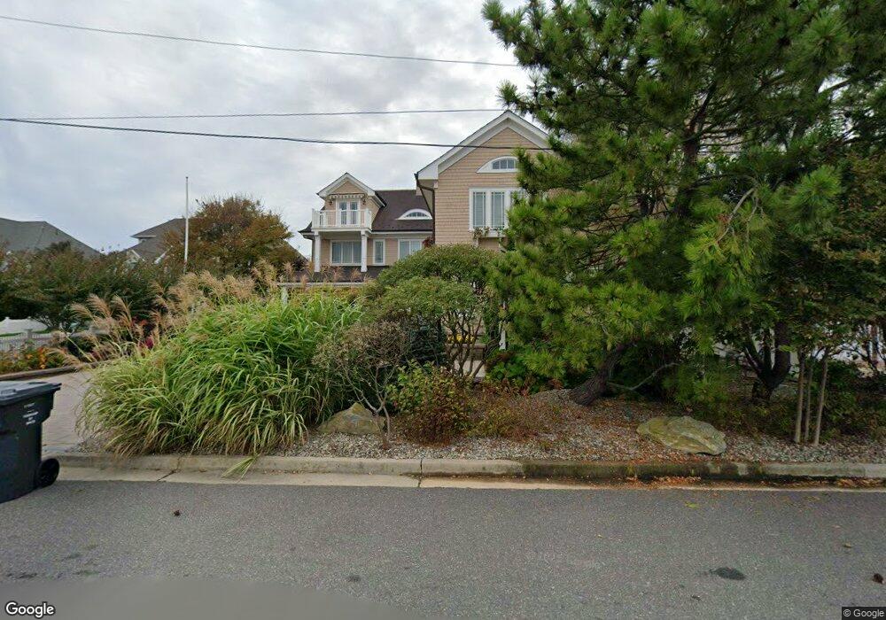
117 Curtis Point Dr Mantoloking, NJ 08738
Estimated Value: $4,299,000 - $5,408,000
5
Beds
4
Baths
7,405
Sq Ft
$650/Sq Ft
Est. Value
About This Home
This home is located at 117 Curtis Point Dr, Mantoloking, NJ 08738 and is currently estimated at $4,816,661, approximately $650 per square foot. 117 Curtis Point Dr is a home with nearby schools including Emma Havens Young Elementary School, Lake Riviera Middle School, and Brick Township High School.
Ownership History
Date
Name
Owned For
Owner Type
Purchase Details
Closed on
Aug 12, 2008
Sold by
The Joseph B Baker Charitable Remainder
Bought by
Landa Elliot and Landa Sherry
Current Estimated Value
Home Financials for this Owner
Home Financials are based on the most recent Mortgage that was taken out on this home.
Original Mortgage
$610,800
Interest Rate
6.29%
Mortgage Type
Purchase Money Mortgage
Purchase Details
Closed on
Apr 28, 2006
Sold by
Baker Joseph B
Bought by
The Joseph B Baker Charitable Remainder
Purchase Details
Closed on
Oct 19, 2000
Sold by
The William O Baker Grit Trust and Baker Joseph B
Bought by
Baker Joseph B
Create a Home Valuation Report for This Property
The Home Valuation Report is an in-depth analysis detailing your home's value as well as a comparison with similar homes in the area
Home Values in the Area
Average Home Value in this Area
Purchase History
| Date | Buyer | Sale Price | Title Company |
|---|---|---|---|
| Landa Elliot | $1,018,000 | Lawyers Title Insurance Corp | |
| The Joseph B Baker Charitable Remainder | -- | None Available | |
| Baker Joseph B | -- | None Available | |
| Baker Joseph B | -- | None Available |
Source: Public Records
Mortgage History
| Date | Status | Borrower | Loan Amount |
|---|---|---|---|
| Closed | Landa Elliot | $610,800 |
Source: Public Records
Tax History Compared to Growth
Tax History
| Year | Tax Paid | Tax Assessment Tax Assessment Total Assessment is a certain percentage of the fair market value that is determined by local assessors to be the total taxable value of land and additions on the property. | Land | Improvement |
|---|---|---|---|---|
| 2025 | $45,582 | $1,764,700 | $768,200 | $996,500 |
| 2024 | $43,323 | $1,764,700 | $768,200 | $996,500 |
| 2023 | $42,759 | $1,764,700 | $768,200 | $996,500 |
| 2022 | $42,759 | $1,764,700 | $768,200 | $996,500 |
| 2021 | $41,859 | $1,764,700 | $768,200 | $996,500 |
| 2020 | $41,329 | $1,764,700 | $768,200 | $996,500 |
| 2019 | $40,641 | $1,764,700 | $768,200 | $996,500 |
| 2018 | $39,706 | $1,764,700 | $768,200 | $996,500 |
| 2017 | $38,629 | $1,764,700 | $768,200 | $996,500 |
| 2016 | $38,435 | $1,764,700 | $768,200 | $996,500 |
| 2015 | $37,429 | $1,764,700 | $768,200 | $996,500 |
| 2014 | $37,129 | $1,764,700 | $768,200 | $996,500 |
Source: Public Records
Map
Nearby Homes
- 122 Squan Beach Dr
- 150 Sunset Ln
- 1519 Runyon Ln
- 233 Curtis Point Dr
- 275 Curtis Point Dr
- 304 Schooner Ln
- 1318 Ocean Ave
- 308 Cove Dr
- 1207 Ocean Ave
- 1201 Ocean Ave
- 366 Highway 35 N
- 1097 Barnegat Ln
- 438 Highway 35 N Unit 1304
- 12 Shell Rd
- 1063 Ocean Ave
- 515 New Jersey 35
- 64 W Granada Dr
- 1027 Ocean Ave
- 45 W Granada Dr
- 305 Alameda Dr
- 113 Curtis Point Dr
- 123 Curtis Point Dr
- 109 Curtis Point Dr
- 125 Curtis Point Dr
- 129 Curtis Point Dr
- 110 Squan Beach Dr
- 114 Squan Beach Dr
- 108 Squan Beach Dr
- 116 Squan Beach Dr
- 104 Squan Beach Dr
- 125 Highway 35 S
- 125 Route 35 S
- 125 New Jersey 35
- 118 Squan Beach Dr
- 100 Curtis Point Dr
- 117 Highway 35 N
- 144 Squan Beach Dr
- 90 Curtis Point Dr
- 90 Curtis Point Dr
- 121 Highway 35 N