117 Dry Fork Dr Winchester, TN 37398
Estimated Value: $574,000 - $772,000
--
Bed
--
Bath
2,473
Sq Ft
$265/Sq Ft
Est. Value
About This Home
This home is located at 117 Dry Fork Dr, Winchester, TN 37398 and is currently estimated at $655,354, approximately $265 per square foot. 117 Dry Fork Dr is a home with nearby schools including South Middle School, Franklin County High School, and Winchester Christian Academy.
Ownership History
Date
Name
Owned For
Owner Type
Purchase Details
Closed on
Apr 19, 2016
Sold by
Twin Creeks Properties Llc
Bought by
Dodson Dwin and Dodson Emily
Current Estimated Value
Purchase Details
Closed on
Dec 29, 2015
Sold by
Franklin County United Bank
Bought by
Twin Creeks Development Llc
Purchase Details
Closed on
Jan 3, 2007
Bought by
Twin Creeks Development Ll
Purchase Details
Closed on
Jan 22, 1986
Bought by
Anderton Wade Blevins and Anderton Jo Carter
Purchase Details
Closed on
May 5, 1969
Bought by
Anderton Rebecca Choate
Create a Home Valuation Report for This Property
The Home Valuation Report is an in-depth analysis detailing your home's value as well as a comparison with similar homes in the area
Home Values in the Area
Average Home Value in this Area
Purchase History
| Date | Buyer | Sale Price | Title Company |
|---|---|---|---|
| Dodson Dwin | $68,900 | -- | |
| Twin Creeks Development Llc | $1,300,000 | -- | |
| Twin Creeks Development Ll | $560,000 | -- | |
| Anderton Wade Blevins | -- | -- | |
| Anderton Rebecca Choate | -- | -- |
Source: Public Records
Tax History Compared to Growth
Tax History
| Year | Tax Paid | Tax Assessment Tax Assessment Total Assessment is a certain percentage of the fair market value that is determined by local assessors to be the total taxable value of land and additions on the property. | Land | Improvement |
|---|---|---|---|---|
| 2024 | -- | $128,475 | $25,000 | $103,475 |
| 2023 | $643 | $128,475 | $25,000 | $103,475 |
| 2022 | $630 | $25,000 | $25,000 | $0 |
| 2021 | $419 | $25,000 | $25,000 | $0 |
| 2020 | $578 | $16,375 | $15,125 | $1,250 |
| 2019 | $578 | $16,375 | $15,125 | $1,250 |
| 2018 | $545 | $16,375 | $15,125 | $1,250 |
| 2017 | $545 | $16,375 | $15,125 | $1,250 |
| 2016 | $541 | $16,250 | $16,250 | $0 |
| 2015 | $531 | $16,250 | $16,250 | $0 |
| 2014 | $531 | $16,250 | $0 | $0 |
Source: Public Records
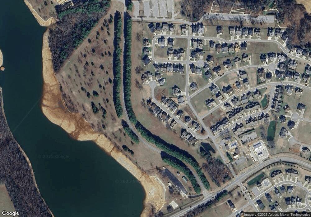
Map
Nearby Homes
- 62 Dry Fork Dr
- 0 Twin Creeks Dr Unit RTC2685254
- 0 Windjammer Ct Unit RTC2812138
- 0 Why Worry Ln Unit RTC2898579
- 5 Anderton Dr
- 4 Anderton Dr
- 0 Latitude Unit RTC2914379
- 70 Hammock Dr
- 0 Slalom Cir Unit RTC2618426
- 0 Turtle Ct Unit RTC3001940
- 103 Anderton Dr
- 133 Wakeboard Way
- 0 Kayak Way Unit RTC3018220
- 0 Kayak Way Unit RTC2969758
- 0 Kayak Way Unit RTC2822979
- 0 Kayak Way Unit RTC2794730
- 0 Kayak Way Unit RTC2648864
- 0 Campfire Ct Unit RTC3011963
- 0 Campfire Ct Unit RTC3007498
- 160 Anderton Dr
- 125 Dry Fork Dr
- 109 Dry Fork Dr
- 101 Dry Fork Dr
- 0 Dry Fork Dr Lot 58 Unit RTC2130542
- 120 Dry Fork Dr
- 259 Lot Why Worry Ln
- 102 Dry Fork Dr
- 91 Dry Fork Dr
- 110 Dry Fork Dr
- 94 Dry Fork Dr
- Lot 64 Dry Fork Dr
- 76 Dry Fork Dr
- 72 Dry Fork Dr
- 58 Dry Fork Dr
- 66 Dry Fork Dr
- 74 Dry Fork Dr
- 0 Dry Fork Unit RTC2786283
- 0 Dry Fork Unit RTC2362691
- 80 Dry Fork Dr
- 75 Dry Fork Dr