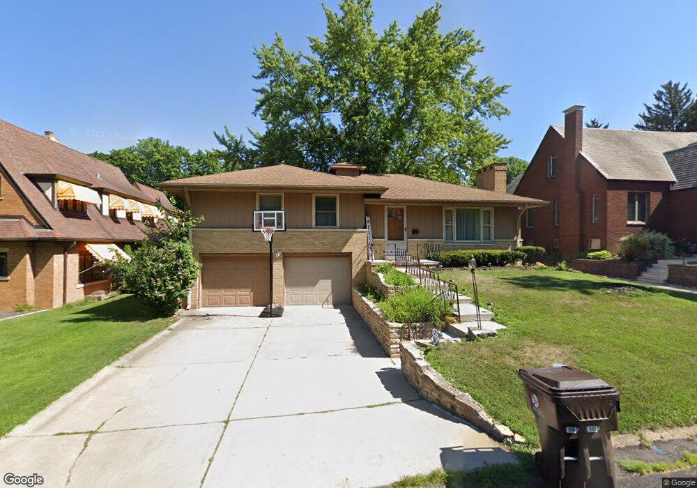
117 E Ellington Dr Peoria, IL 61603
West Bluff NeighborhoodEstimated Value: $119,000 - $161,000
2
Beds
2
Baths
1,422
Sq Ft
$105/Sq Ft
Est. Value
About This Home
This home is located at 117 E Ellington Dr, Peoria, IL 61603 and is currently estimated at $149,347, approximately $105 per square foot. 117 E Ellington Dr is a home with nearby schools including Von Steuben Middle School, Peoria High School, and Peoria Christian School.
Ownership History
Date
Name
Owned For
Owner Type
Purchase Details
Closed on
Apr 13, 2023
Sold by
Waibel Matthew W and Waibel Lisa A
Bought by
Ford Marvin H
Current Estimated Value
Home Financials for this Owner
Home Financials are based on the most recent Mortgage that was taken out on this home.
Original Mortgage
$127,645
Outstanding Balance
$124,032
Interest Rate
6.5%
Mortgage Type
FHA
Estimated Equity
$25,315
Purchase Details
Closed on
May 12, 2004
Bought by
Waibel Lisa A and Waibel Matthew W
Create a Home Valuation Report for This Property
The Home Valuation Report is an in-depth analysis detailing your home's value as well as a comparison with similar homes in the area
Home Values in the Area
Average Home Value in this Area
Purchase History
| Date | Buyer | Sale Price | Title Company |
|---|---|---|---|
| Ford Marvin H | $130,000 | None Listed On Document | |
| Waibel Lisa A | $117,200 | -- |
Source: Public Records
Mortgage History
| Date | Status | Borrower | Loan Amount |
|---|---|---|---|
| Open | Ford Marvin H | $127,645 |
Source: Public Records
Tax History
| Year | Tax Paid | Tax Assessment Tax Assessment Total Assessment is a certain percentage of the fair market value that is determined by local assessors to be the total taxable value of land and additions on the property. | Land | Improvement |
|---|---|---|---|---|
| 2024 | $3,790 | $47,900 | $4,490 | $43,410 |
| 2023 | $4,135 | $43,950 | $4,120 | $39,830 |
| 2022 | $4,158 | $43,110 | $4,000 | $39,110 |
| 2021 | $4,082 | $41,060 | $3,810 | $37,250 |
| 2020 | $4,073 | $40,650 | $3,770 | $36,880 |
| 2019 | $4,132 | $41,480 | $3,850 | $37,630 |
| 2018 | $4,080 | $41,890 | $3,890 | $38,000 |
| 2017 | $4,079 | $42,310 | $3,930 | $38,380 |
| 2016 | $3,965 | $42,310 | $3,930 | $38,380 |
| 2015 | $3,773 | $41,480 | $3,850 | $37,630 |
| 2014 | $3,773 | $40,990 | $3,660 | $37,330 |
| 2013 | -- | $41,480 | $3,700 | $37,780 |
Source: Public Records
Map
Nearby Homes
- 315 E Elmhurst Ave
- 3120 N Linnhill Ct
- 111 W Merle Ln
- 301 E Melbourne Ave
- 3004 N Knoxville Ave
- 316 E Melbourne Ave
- 3105 N Bigelow St
- 406 W Lawndale Ave
- 519 E Maywood Ave
- 308 E Corrington Ave
- 612 E Wilson Ave
- 624 E Wilson Ave
- 513 W Melbourne Ave
- 508 W Maywood Ave
- 718 E London Ave
- 3215 Knoxville Ave
- 112 E Gift Ave
- 2811 N Wisconsin Ave
- 600 E Gift Ave
- 821 E Wilson Ave
- 121 E Ellington Dr
- 111 E Ellington Dr
- 3310 N Knoxville Ave
- 123 E Ellington Dr
- 116 E Ellington Dr
- 110 E Ellington Dr
- 120 E Ellington Dr
- 127 E Ellington Dr
- 124 E Ellington Dr
- 124 E Ellington Dr Unit M
- 128 E Ellington Dr
- 3316 N Knoxville Ave
- 201 E Ellington Dr
- 202 E Ellington Dr
- 3214 N Knoxville Ave
- 205 E Ellington Dr
- 3307 N Peoria Ave
- 206 E Ellington Dr
- 3217 N Peoria Ave
- 3210 N Knoxville Ave
Your Personal Tour Guide
Ask me questions while you tour the home.