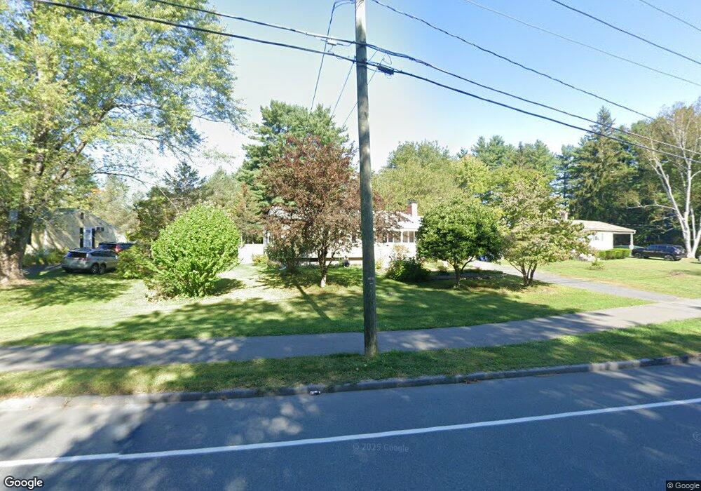
117 E Hadley Rd Amherst, MA 01002
Estimated Value: $386,000 - $467,000
3
Beds
1
Bath
1,062
Sq Ft
$406/Sq Ft
Est. Value
About This Home
This home is located at 117 E Hadley Rd, Amherst, MA 01002 and is currently estimated at $431,581, approximately $406 per square foot. 117 E Hadley Rd is a home located in Hampshire County with nearby schools including Crocker Farm Elementary School, Amherst Regional Middle School, and Amherst Regional High School.
Ownership History
Date
Name
Owned For
Owner Type
Purchase Details
Closed on
Feb 22, 2002
Sold by
Peyton Darius and Shenje-Peyton Angeline
Bought by
Nguyen Anna Nga Thuy and Pham Joseph Nhan Van
Current Estimated Value
Home Financials for this Owner
Home Financials are based on the most recent Mortgage that was taken out on this home.
Original Mortgage
$150,000
Interest Rate
7.08%
Mortgage Type
Purchase Money Mortgage
Purchase Details
Closed on
Apr 13, 1998
Sold by
Austin Richard J
Bought by
Peyton Darius and Shejne-Peyton Angeline
Purchase Details
Closed on
Mar 14, 1997
Sold by
Keyes Karla
Bought by
Austin Richard J
Create a Home Valuation Report for This Property
The Home Valuation Report is an in-depth analysis detailing your home's value as well as a comparison with similar homes in the area
Home Values in the Area
Average Home Value in this Area
Purchase History
| Date | Buyer | Sale Price | Title Company |
|---|---|---|---|
| Nguyen Anna Nga Thuy | $169,900 | -- | |
| Peyton Darius | $124,500 | -- | |
| Austin Richard J | $115,000 | -- |
Source: Public Records
Mortgage History
| Date | Status | Borrower | Loan Amount |
|---|---|---|---|
| Open | Austin Richard J | $130,000 | |
| Closed | Austin Richard J | $150,000 |
Source: Public Records
Tax History
| Year | Tax Paid | Tax Assessment Tax Assessment Total Assessment is a certain percentage of the fair market value that is determined by local assessors to be the total taxable value of land and additions on the property. | Land | Improvement |
|---|---|---|---|---|
| 2025 | $67 | $373,100 | $186,300 | $186,800 |
| 2024 | $6,534 | $353,000 | $175,800 | $177,200 |
| 2023 | $6,295 | $313,200 | $159,800 | $153,400 |
| 2022 | $6,002 | $282,200 | $145,300 | $136,900 |
| 2021 | $5,715 | $261,900 | $134,600 | $127,300 |
| 2020 | $5,584 | $261,900 | $134,600 | $127,300 |
| 2019 | $5,470 | $250,900 | $134,600 | $116,300 |
| 2018 | $5,304 | $250,900 | $134,600 | $116,300 |
| 2017 | $5,158 | $236,300 | $128,200 | $108,100 |
| 2016 | $5,014 | $236,300 | $128,200 | $108,100 |
| 2015 | $4,854 | $236,300 | $128,200 | $108,100 |
Source: Public Records
Map
Nearby Homes
- 170 E Hadley Rd Unit 87
- 26 Greenleaves Dr Unit 635
- 24 Greenleaves Dr Unit 418
- 27 Greenleaves Dr Unit 726
- 23 Greenleaves Dr Unit 107
- 30 Greenleaves Dr
- 141 Tracy Cir
- 6 Eveningstar Dr
- 132 Pondview Dr
- 89 Potwine Ln
- 0 Main St
- 63 Amity Place Unit 63
- 75 Amity Place Unit 75
- 174 Lincoln Ave
- 53 Pine Grove Unit 53
- 67 Pine Grove Unit 67
- 48 Gray St
- 27 Summerfield Rd
- 310 Belchertown Rd
- 100 Larkspur Dr
- 125 E Hadley Rd
- 109 E Hadley Rd
- 135 E Hadley Rd
- 101 E Hadley Rd
- 46 Justice Dr
- 38 Justice Dr
- 147 E Hadley Rd
- 30 Justice Dr
- 70 E Hadley Rd Unit 10
- 91 E Hadley Rd
- 54 Justice Dr
- 22 Justice Dr
- 157 E Hadley Rd
- 81 E Hadley Rd
- 33 Dennis Dr
- 62 Justice Dr
- 14 Justice Dr
- 51 Justice Dr
- 29 Justice Dr
- 55 Justice Dr
Your Personal Tour Guide
Ask me questions while you tour the home.