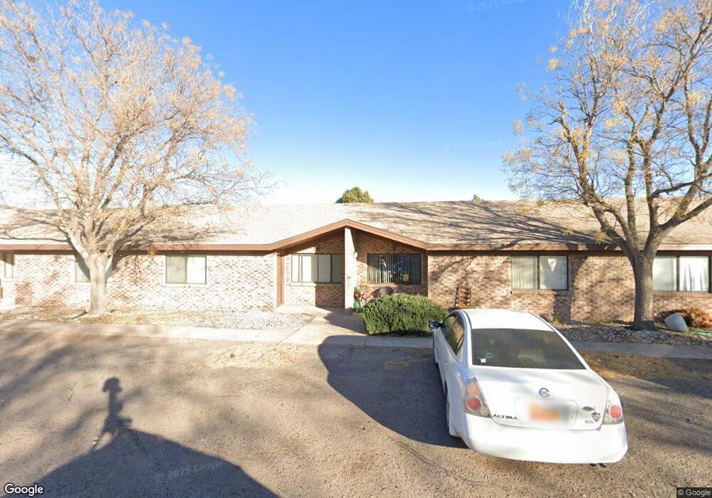
117 E Mescalero Rd Roswell, NM 88201
Estimated Value: $318,000 - $934,510
12
Beds
12
Baths
6,672
Sq Ft
$90/Sq Ft
Est. Value
About This Home
This home is located at 117 E Mescalero Rd, Roswell, NM 88201 and is currently estimated at $602,503, approximately $90 per square foot. 117 E Mescalero Rd is a home located in Chaves County with nearby schools including Del Norte Elementary School, Berrendo Middle School, and Goddard High School.
Ownership History
Date
Name
Owned For
Owner Type
Purchase Details
Closed on
Sep 12, 2017
Sold by
Most High Shelter Llc
Bought by
Daniel Sabrina Ann and 117 East Mescalero Land Trust
Current Estimated Value
Purchase Details
Closed on
Feb 27, 2006
Sold by
Rafter Seven Llc
Bought by
Bell James and Bell Linda
Home Financials for this Owner
Home Financials are based on the most recent Mortgage that was taken out on this home.
Original Mortgage
$1,170,174
Interest Rate
6.09%
Mortgage Type
Purchase Money Mortgage
Create a Home Valuation Report for This Property
The Home Valuation Report is an in-depth analysis detailing your home's value as well as a comparison with similar homes in the area
Home Values in the Area
Average Home Value in this Area
Purchase History
| Date | Buyer | Sale Price | Title Company |
|---|---|---|---|
| Daniel Sabrina Ann | -- | None Available | |
| Bell James | -- | Landamerica Lawyers Title Of |
Source: Public Records
Mortgage History
| Date | Status | Borrower | Loan Amount |
|---|---|---|---|
| Previous Owner | Bell James | $1,170,174 |
Source: Public Records
Tax History Compared to Growth
Tax History
| Year | Tax Paid | Tax Assessment Tax Assessment Total Assessment is a certain percentage of the fair market value that is determined by local assessors to be the total taxable value of land and additions on the property. | Land | Improvement |
|---|---|---|---|---|
| 2025 | $7,655 | $289,960 | $19,333 | $270,627 |
| 2024 | $7,655 | $281,515 | $19,333 | $262,182 |
| 2023 | $7,673 | $273,315 | $19,333 | $253,982 |
| 2022 | $7,379 | $265,355 | $19,333 | $246,022 |
| 2021 | $7,324 | $257,626 | $19,333 | $238,293 |
| 2020 | $7,110 | $250,123 | $19,333 | $230,790 |
| 2019 | $6,892 | $242,838 | $19,333 | $223,505 |
| 2015 | $6,651 | $217,496 | $19,333 | $198,163 |
| 2014 | $12,915 | $211,161 | $19,333 | $191,828 |
Source: Public Records
Map
Nearby Homes
- 3014 Bandolina Ave
- 2819 Delicado Dr
- 504 La Fonda Dr
- 2816 Encanto Dr
- 00 Wilshire Blvd
- 11 Vista Parkway Cir
- 6100 N Main St
- 2401 N Main St
- 2716 N Pennsylvania #43 Ave
- 4540 N Main St
- 300 E Linda Vista Blvd
- 2715 Kentucky #10 St
- 404 Hermosa Dr
- 407 W Vista Pkwy
- 2602 Park Dr
- 703 E Mescalero Rd
- 2611 N Kentucky #109 Ave
- 317 Sherrill Lane #25 Ln
- 317 Sherrill Ln #14 Ln
- 317 Sherrill Unit 5 Ln
- 2906 Alhambra Dr
- 2906 N Alhambra Dr
- 2901 Alhambra Dr Unit 1
- 2905 Alhambra Dr Unit 1
- 2908 Alhambra Dr
- 2910 Alhambra Dr
- 2911 Alhambra Dr
- 200 La Fonda Dr
- 2912 Alhambra Dr
- 2914 Alhambra Dr
- 201 E Lafonda
- 201 La Fonda Dr
- 2913 Alhambra Dr
- 202 La Fonda Dr
- 301 E Mescalero Rd
- 303 E Mescalero Rd
- 202 E Vista Pkwy
- 203 La Fonda Dr
- 204 La Fonda Dr
- 305 E Mescalero Rd