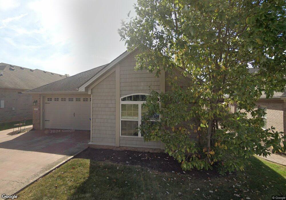
117 Echo Path Georgetown, KY 40324
Northeast Georgetown NeighborhoodEstimated Value: $319,000 - $374,000
2
Beds
2
Baths
1,912
Sq Ft
$183/Sq Ft
Est. Value
About This Home
This home is located at 117 Echo Path, Georgetown, KY 40324 and is currently estimated at $349,407, approximately $182 per square foot. 117 Echo Path is a home located in Scott County with nearby schools including Anne Mason Elementary School, Scott County Middle School, and Scott County High School.
Ownership History
Date
Name
Owned For
Owner Type
Purchase Details
Closed on
Aug 18, 2017
Sold by
Byer Donald L
Bought by
Gentry Curtis and Gentry Patsy
Current Estimated Value
Home Financials for this Owner
Home Financials are based on the most recent Mortgage that was taken out on this home.
Original Mortgage
$210,840
Outstanding Balance
$176,825
Interest Rate
4.5%
Mortgage Type
FHA
Estimated Equity
$172,582
Create a Home Valuation Report for This Property
The Home Valuation Report is an in-depth analysis detailing your home's value as well as a comparison with similar homes in the area
Home Values in the Area
Average Home Value in this Area
Purchase History
| Date | Buyer | Sale Price | Title Company |
|---|---|---|---|
| Gentry Curtis | $214,730 | Attorney |
Source: Public Records
Mortgage History
| Date | Status | Borrower | Loan Amount |
|---|---|---|---|
| Open | Gentry Curtis | $210,840 |
Source: Public Records
Tax History
| Year | Tax Paid | Tax Assessment Tax Assessment Total Assessment is a certain percentage of the fair market value that is determined by local assessors to be the total taxable value of land and additions on the property. | Land | Improvement |
|---|---|---|---|---|
| 2025 | $2,583 | $290,000 | $0 | $0 |
| 2024 | $2,492 | $277,100 | $0 | $0 |
| 2023 | $2,409 | $265,700 | $40,000 | $225,700 |
| 2022 | $2,011 | $236,500 | $30,000 | $206,500 |
| 2021 | $2,120 | $225,100 | $30,000 | $195,100 |
| 2020 | $1,868 | $217,400 | $30,000 | $187,400 |
| 2019 | $1,874 | $214,730 | $0 | $0 |
| 2018 | $1,863 | $214,730 | $0 | $0 |
| 2017 | $1,754 | $201,170 | $0 | $0 |
| 2016 | $1,574 | $195,436 | $0 | $0 |
| 2015 | $1,587 | $198,300 | $0 | $0 |
| 2014 | $1,565 | $188,700 | $0 | $0 |
| 2011 | $112 | $180,200 | $0 | $0 |
Source: Public Records
Map
Nearby Homes
- 121 Avalon Path
- 111 Avalon Path
- 101 Candlelight Blvd
- 105 Hidden Paddock Ln
- 104 Furlong Ct
- 103 Furlong Ct
- 101 Bottletop Ct
- 104 Wedgerow Ct
- LOT 26 Lawson Dr
- 109 High Hope Ln
- 185 Blossom Park Dr
- 220 Tanbark Dr
- 719 N Hamilton St
- 136 Blackberry Ln
- 149 Blackberry Ln
- 123 Blackberry Ln
- 125 Blackberry Ln
- 113 Blackberry Ln
- 514 Poplar St
- 109 Blackberry Ln
Your Personal Tour Guide
Ask me questions while you tour the home.