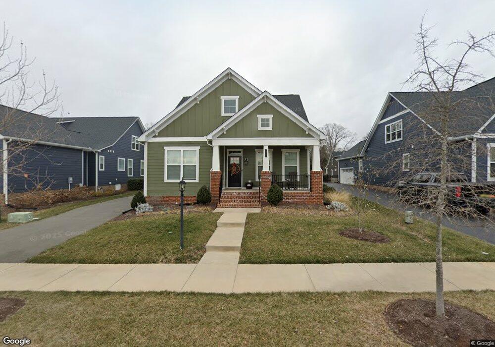
117 Evington Ln Ashland, VA 23005
Estimated Value: $533,000 - $671,000
3
Beds
3
Baths
2,216
Sq Ft
$264/Sq Ft
Est. Value
About This Home
This home is located at 117 Evington Ln, Ashland, VA 23005 and is currently estimated at $584,151, approximately $263 per square foot. 117 Evington Ln is a home located in Hanover County with nearby schools including Henry Clay Elementary School, Liberty Middle School, and Patrick Henry High School.
Ownership History
Date
Name
Owned For
Owner Type
Purchase Details
Closed on
Jul 21, 2021
Sold by
Eagle Construction Of Va Llc
Bought by
Crislip William Edward and Crislip Arlene Marie
Current Estimated Value
Home Financials for this Owner
Home Financials are based on the most recent Mortgage that was taken out on this home.
Original Mortgage
$378,889
Outstanding Balance
$343,941
Interest Rate
2.93%
Mortgage Type
New Conventional
Estimated Equity
$240,210
Purchase Details
Closed on
May 17, 2021
Sold by
Me Lauradell Llc
Bought by
Eagle Construction Of Va Llc
Create a Home Valuation Report for This Property
The Home Valuation Report is an in-depth analysis detailing your home's value as well as a comparison with similar homes in the area
Home Values in the Area
Average Home Value in this Area
Purchase History
| Date | Buyer | Sale Price | Title Company |
|---|---|---|---|
| Crislip William Edward | $478,889 | Attorney | |
| Eagle Construction Of Va Llc | $462,500 | Old Republic National Title |
Source: Public Records
Mortgage History
| Date | Status | Borrower | Loan Amount |
|---|---|---|---|
| Open | Crislip William Edward | $378,889 |
Source: Public Records
Tax History
| Year | Tax Paid | Tax Assessment Tax Assessment Total Assessment is a certain percentage of the fair market value that is determined by local assessors to be the total taxable value of land and additions on the property. | Land | Improvement |
|---|---|---|---|---|
| 2025 | $4,193 | $517,600 | $115,000 | $402,600 |
| 2024 | $4,193 | $517,600 | $115,000 | $402,600 |
| 2023 | $3,771 | $489,800 | $100,000 | $389,800 |
| 2022 | $3,290 | $406,200 | $90,000 | $316,200 |
| 2021 | $689 | $85,000 | $85,000 | $0 |
| 2020 | $207 | $25,500 | $25,500 | $0 |
Source: Public Records
Map
Nearby Homes
- 814 Chapman St
- 102 Brookneal Aly
- 728 Chapman St
- 720 Chapman St
- 204 Lauradell Rd
- 118 Lauradell Rd
- 568 N James St
- 0 N Snead St
- 303 N Snead St
- 14106 Falcon Crest Ct
- 104 Linden St
- 13976 Hungryjack Ct
- Lot 73 Lauradell Rd
- 11224 Hill Ridge Ct
- 213 Berkley St
- 307 S Railroad Ave
- 126 Arlington Square
- 709 Virginia St
- 14150 Bear Slash Trail
- 12108 Grandview Hill Ct
- 119 Evington Ln
- 115 Evington Ln
- Lot 53 Thorncliff Rd
- 816 Chapman St
- 123 Evington Ln
- 812 Chapman St
- 109 Evington Ln
- 818 Chapman St
- 221 Thorncliff Rd
- 112 Brookneal Aly
- 107 Evington Ln
- 820 Chapman St
- 219 Thorncliff Rd
- 110 Brookneal Aly
- 111 Hopeton Aly
- 105 Evington Ln
- 125 Evington Ln
- 217 Thorncliff Rd
- 109 Hopeton Aly
- 822 Chapman St
Your Personal Tour Guide
Ask me questions while you tour the home.