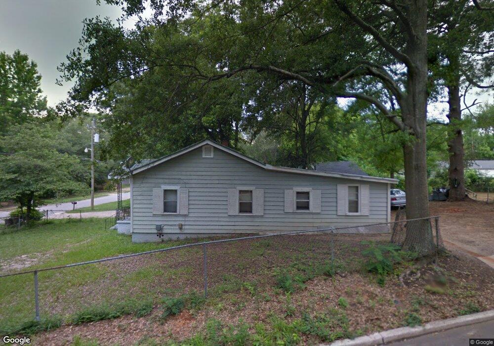
117 Gallant St Lagrange, GA 30241
Estimated Value: $69,000 - $99,000
3
Beds
2
Baths
1,040
Sq Ft
$82/Sq Ft
Est. Value
About This Home
This home is located at 117 Gallant St, Lagrange, GA 30241 and is currently estimated at $85,509, approximately $82 per square foot. 117 Gallant St is a home located in Troup County with nearby schools including Hollis Hand Elementary School, Franklin Forest Elementary School, and Ethel W. Kight Elementary School.
Ownership History
Date
Name
Owned For
Owner Type
Purchase Details
Closed on
May 25, 1990
Sold by
Stargell Mary H
Bought by
Stargell Morris
Current Estimated Value
Purchase Details
Closed on
Dec 5, 1988
Sold by
Rainey Don
Bought by
Stargell Mary H
Purchase Details
Closed on
Dec 2, 1988
Sold by
Wallace Charles M
Bought by
Rainey Don
Purchase Details
Closed on
Oct 1, 1981
Sold by
Commercial Bank & Trust Co
Bought by
Wallace Charles M
Purchase Details
Closed on
Jul 22, 1977
Sold by
Gallant James G
Bought by
Commercial Bank & Trust Co
Create a Home Valuation Report for This Property
The Home Valuation Report is an in-depth analysis detailing your home's value as well as a comparison with similar homes in the area
Home Values in the Area
Average Home Value in this Area
Purchase History
| Date | Buyer | Sale Price | Title Company |
|---|---|---|---|
| Stargell Morris | $2,000 | -- | |
| Stargell Mary H | $7,200 | -- | |
| Rainey Don | -- | -- | |
| Wallace Charles M | $9,500 | -- | |
| Commercial Bank & Trust Co | -- | -- |
Source: Public Records
Tax History Compared to Growth
Tax History
| Year | Tax Paid | Tax Assessment Tax Assessment Total Assessment is a certain percentage of the fair market value that is determined by local assessors to be the total taxable value of land and additions on the property. | Land | Improvement |
|---|---|---|---|---|
| 2024 | $418 | $15,320 | $2,880 | $12,440 |
| 2023 | $404 | $14,800 | $2,880 | $11,920 |
| 2022 | $395 | $14,160 | $2,880 | $11,280 |
| 2021 | $421 | $13,960 | $1,520 | $12,440 |
| 2020 | $421 | $13,960 | $1,520 | $12,440 |
| 2019 | $395 | $13,080 | $1,520 | $11,560 |
| 2018 | $394 | $13,080 | $1,520 | $11,560 |
| 2017 | $394 | $13,080 | $1,520 | $11,560 |
| 2016 | $390 | $12,935 | $1,520 | $11,415 |
| 2015 | $391 | $12,935 | $1,520 | $11,415 |
| 2014 | $373 | $12,334 | $1,520 | $10,814 |
| 2013 | -- | $13,090 | $1,520 | $11,570 |
Source: Public Records
Map
Nearby Homes
- LOT 58 Belk St
- 119 Belk St
- LOT 65 Belk St
- LOT 66 Belk St
- 117 Belk St
- 208 Render St
- 801 Hines St
- 803 1/2 Hines St
- 910 N 916 1000 1002 N Oak & 1011 1019 1021 Johnson St
- 0 Locust St
- 621 Arthur St
- 519 Greenville St
- 0 Burr St
- 306 Burr St
- 902 Georgia Ave
- 105 Dix St
- 203 Revis St
- 205 Revis St
- 906 Georgia Ave
- 121 de Groat St
- 115 Gallant St
- 230 E Render St
- 228 E Render St
- 111 Gallant St
- 116 Gallant St
- 118 Gallant St
- 236 E Render St
- 114 Gallant St
- 226 E Render St
- 120 Gallant St
- 109 Gallant St
- 224 E Render St
- 605 E Render St
- 238 E Render St
- 223 E Render St
- 107 Gallant St
- 108 Gallant St
- 222 E Render St
- 107 Belk St
- 107 Belk St Unit 50