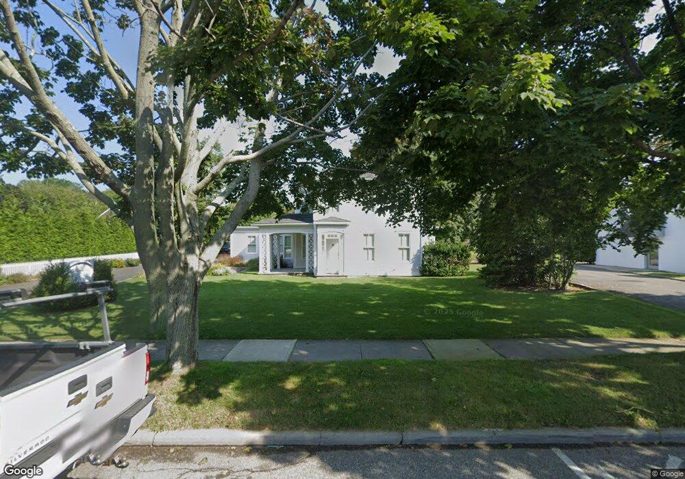
117 Hampton Rd Southampton, NY 11968
Estimated Value: $2,740,000 - $3,968,000
4
Beds
2
Baths
3,104
Sq Ft
$1,072/Sq Ft
Est. Value
About This Home
This home is located at 117 Hampton Rd, Southampton, NY 11968 and is currently estimated at $3,326,387, approximately $1,071 per square foot. 117 Hampton Rd is a home located in Suffolk County with nearby schools including Southampton Elementary School, Southampton Intermediate School, and Southampton High School.
Ownership History
Date
Name
Owned For
Owner Type
Purchase Details
Closed on
Jan 10, 2003
Sold by
Munkelwitz Robert A and Munkelwitz Jennifer S
Bought by
Artemis Holdings Llc
Current Estimated Value
Home Financials for this Owner
Home Financials are based on the most recent Mortgage that was taken out on this home.
Original Mortgage
$1,100,000
Outstanding Balance
$474,740
Interest Rate
6.18%
Mortgage Type
Construction
Estimated Equity
$2,851,647
Purchase Details
Closed on
Jun 25, 1997
Sold by
Lipetz Marie E and Lipetz Ronald E
Bought by
Lipetz Marie E and Lipetz Ronald E
Create a Home Valuation Report for This Property
The Home Valuation Report is an in-depth analysis detailing your home's value as well as a comparison with similar homes in the area
Home Values in the Area
Average Home Value in this Area
Purchase History
| Date | Buyer | Sale Price | Title Company |
|---|---|---|---|
| Artemis Holdings Llc | -- | Commonwealth Land Title Ins | |
| Munkelwitz Robert A | $695,000 | First American Title Ins Co | |
| Lipetz Marie E | -- | Chicago Title Insurance Co |
Source: Public Records
Mortgage History
| Date | Status | Borrower | Loan Amount |
|---|---|---|---|
| Open | Munkelwitz Robert A | $1,100,000 |
Source: Public Records
Tax History Compared to Growth
Tax History
| Year | Tax Paid | Tax Assessment Tax Assessment Total Assessment is a certain percentage of the fair market value that is determined by local assessors to be the total taxable value of land and additions on the property. | Land | Improvement |
|---|---|---|---|---|
| 2024 | $4,204 | $1,318,000 | $827,300 | $490,700 |
| 2023 | $4,204 | $1,318,000 | $827,300 | $490,700 |
| 2022 | $3,900 | $1,318,000 | $827,300 | $490,700 |
| 2021 | $3,900 | $1,318,000 | $827,300 | $490,700 |
| 2020 | $7,932 | $1,318,000 | $827,300 | $490,700 |
| 2019 | $7,786 | $0 | $0 | $0 |
| 2018 | -- | $1,285,900 | $827,300 | $458,600 |
| 2017 | $3,884 | $1,285,900 | $827,300 | $458,600 |
| 2016 | $4,055 | $1,285,900 | $827,300 | $458,600 |
| 2015 | -- | $1,191,000 | $827,300 | $363,700 |
| 2014 | -- | $1,191,000 | $827,300 | $363,700 |
Source: Public Records
Map
Nearby Homes
- 57 Old Town Rd
- 15 Halsey Ave
- 33 Halsey Ave
- 39 Halsey Ave
- 179 Elm St
- 28 Bowden Square
- 97 Pelletreau St
- 32 Cobblefield Ln
- 15 Prospect St
- 32 Toylsome Place
- 121 David Whites Ln
- 129 David Whites Ln
- 251 N Main St
- 100 Narrow Ln
- 60 Culver St
- 105 Willow St
- 66 Huntting St
- 91 Dale St
- 520 Hampton Rd Unit 17
- 520 Hampton Rd Unit 5