Estimated Value: $145,000 - $287,000
--
Bed
--
Bath
600
Sq Ft
$348/Sq Ft
Est. Value
About This Home
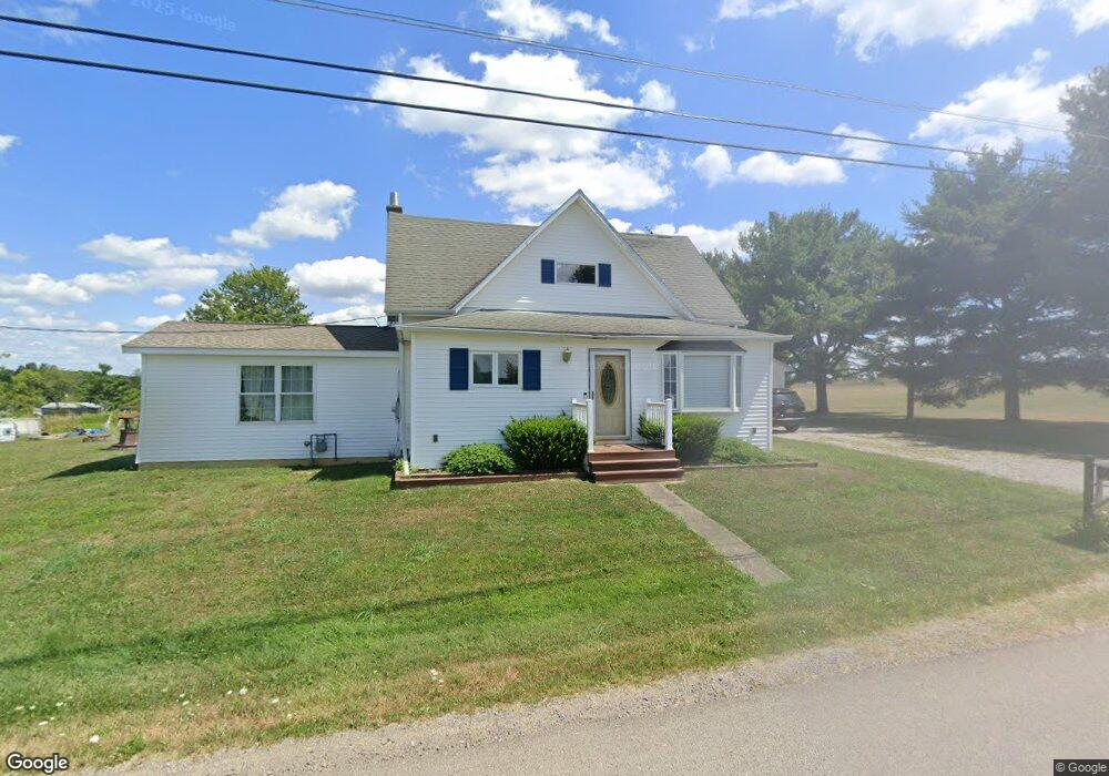
This home is located at 117 High Point Rd, Knox, PA 16232 and is currently estimated at $208,667, approximately $347 per square foot. 117 High Point Rd is a home located in Clarion County with nearby schools including Keystone Elementary School, Keystone Junior/Senior High School, and Meadow View Amish School.
Ownership History
Date
Name
Owned For
Owner Type
Purchase Details
Closed on
Oct 29, 2021
Sold by
Davis Jeffrey M and Davis Nancy R
Bought by
Davis Johnathan R and Davis Madison J
Current Estimated Value
Home Financials for this Owner
Home Financials are based on the most recent Mortgage that was taken out on this home.
Original Mortgage
$98,769
Outstanding Balance
$90,263
Interest Rate
2.8%
Mortgage Type
FHA
Estimated Equity
$118,404
Purchase Details
Closed on
Jan 1, 1993
Bought by
Davis Jeffrey M and Davis Nancy R
Create a Home Valuation Report for This Property
The Home Valuation Report is an in-depth analysis detailing your home's value as well as a comparison with similar homes in the area
Home Values in the Area
Average Home Value in this Area
Purchase History
| Date | Buyer | Sale Price | Title Company |
|---|---|---|---|
| Davis Johnathan R | -- | None Available | |
| Davis Jeffrey M | $36,000 | -- |
Source: Public Records
Mortgage History
| Date | Status | Borrower | Loan Amount |
|---|---|---|---|
| Open | Davis Johnathan R | $98,769 |
Source: Public Records
Tax History Compared to Growth
Tax History
| Year | Tax Paid | Tax Assessment Tax Assessment Total Assessment is a certain percentage of the fair market value that is determined by local assessors to be the total taxable value of land and additions on the property. | Land | Improvement |
|---|---|---|---|---|
| 2025 | $1,409 | $16,762 | $1,340 | $15,422 |
| 2024 | $1,330 | $16,762 | $1,340 | $15,422 |
| 2023 | $1,022 | $13,426 | $1,340 | $12,086 |
| 2022 | $1,008 | $13,426 | $1,340 | $12,086 |
| 2021 | $1,015 | $13,426 | $1,340 | $12,086 |
| 2020 | $1,015 | $13,426 | $1,340 | $12,086 |
| 2019 | $998 | $13,426 | $1,340 | $12,086 |
| 2018 | $998 | $13,426 | $1,340 | $12,086 |
| 2017 | $780 | $10,490 | $1,340 | $9,150 |
| 2016 | $780 | $10,490 | $1,340 | $9,150 |
| 2014 | -- | $10,490 | $1,340 | $9,150 |
Source: Public Records
Map
Nearby Homes
- 216 High Point Rd
- 28 Graff Rd
- 1278 Wentlings Corners Rd
- 0 Willow Ave
- 630 S Main St
- 601 S Main St
- 427 Main St
- 518 E Penn Ave
- 374 E Penn Ave
- 336 Best Ave
- 327 Mendenhall Ave
- 127 Nagel Ln
- 725 River Bends Dr
- 1248 Chestnut Ridge Rd
- 000 Laurel Rd
- 429 Main St
- 513 Ron McHenry Rd
- 3765/3905
- 2404 Pennsylvania 208
- 3176 Pennsylvania 58
- 18 Wentlings Corners Rd
- 74 High Point Rd
- 60 High Point Rd
- 43 Wentlings Corners Rd
- 54 Wentlings Corners Rd
- 40 High Point Rd
- 186 Tippecanoe Rd
- 148 Tippecanoe Rd
- 6361 Canoe Ripple Rd
- 6361 Canoe Ripple Rd
- 155 Tippecanoe Rd
- 68 Wentlings Corners Rd
- 173 Tippecanoe Rd
- 1 High Point Rd
- 139 Tippecanoe Rd
- 113 Wentlings Corners Rd
- 6383 Canoe Ripple Rd
- 61 Tippecanoe Rd
- 93 Tippecanoe Rd
- 245 Tippecanoe Rd