117 Landing Dr Morgantown, WV 26508
Estimated Value: $369,000 - $388,000
3
Beds
3
Baths
1,967
Sq Ft
$193/Sq Ft
Est. Value
About This Home
This home is located at 117 Landing Dr, Morgantown, WV 26508 and is currently estimated at $380,230, approximately $193 per square foot. 117 Landing Dr is a home with nearby schools including Ridgedale Elementary School, South Middle School, and Morgantown High School.
Ownership History
Date
Name
Owned For
Owner Type
Purchase Details
Closed on
Jul 27, 2020
Sold by
Debiase William L and Debiase Sharon E
Bought by
Tennant Jason and Tennant Janice
Current Estimated Value
Home Financials for this Owner
Home Financials are based on the most recent Mortgage that was taken out on this home.
Original Mortgage
$282,828
Outstanding Balance
$250,888
Interest Rate
3%
Mortgage Type
New Conventional
Estimated Equity
$129,342
Purchase Details
Closed on
May 22, 2017
Sold by
Diamond Builders Llc
Bought by
Debiase William L and Debiase Sharon E
Home Financials for this Owner
Home Financials are based on the most recent Mortgage that was taken out on this home.
Original Mortgage
$255,667
Interest Rate
4.03%
Mortgage Type
VA
Purchase Details
Closed on
Mar 1, 2016
Sold by
Big Sky Enterprises Llc
Bought by
Diamond Builders Llc
Create a Home Valuation Report for This Property
The Home Valuation Report is an in-depth analysis detailing your home's value as well as a comparison with similar homes in the area
Home Values in the Area
Average Home Value in this Area
Purchase History
| Date | Buyer | Sale Price | Title Company |
|---|---|---|---|
| Tennant Jason | $280,000 | Ntc Key West | |
| Debiase William L | $247,500 | Old Republic National Title | |
| Diamond Builders Llc | $45,000 | None Available |
Source: Public Records
Mortgage History
| Date | Status | Borrower | Loan Amount |
|---|---|---|---|
| Open | Tennant Jason | $282,828 | |
| Previous Owner | Debiase William L | $255,667 |
Source: Public Records
Tax History Compared to Growth
Tax History
| Year | Tax Paid | Tax Assessment Tax Assessment Total Assessment is a certain percentage of the fair market value that is determined by local assessors to be the total taxable value of land and additions on the property. | Land | Improvement |
|---|---|---|---|---|
| 2024 | $1,657 | $155,100 | $33,120 | $121,980 |
| 2023 | $1,653 | $155,100 | $33,120 | $121,980 |
| 2022 | $1,564 | $152,640 | $33,120 | $119,520 |
| 2021 | $1,572 | $152,640 | $33,120 | $119,520 |
| 2020 | $1,506 | $145,620 | $30,780 | $114,840 |
| 2019 | $1,466 | $140,700 | $30,780 | $109,920 |
| 2018 | $1,471 | $140,700 | $30,780 | $109,920 |
| 2017 | $1,649 | $78,480 | $29,040 | $49,440 |
Source: Public Records
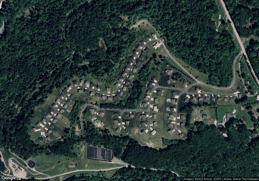
Map
Nearby Homes
- 100 Landing Dr
- TBD Humphreys Rd
- 3228 Ridgedale Rd
- 53 Owl St
- 52 Owl St
- 1248 Goshen Rd
- 107 Lockwood Dr
- 105 Lockwood Dr
- 100 Lockwood Dr
- 48 Ringold Ln
- 00 Camp Mountaineer Rd
- 0 Camp Mountaineer Rd
- 1266 Grafton Rd
- TBD Blue Sky Ln
- Lot 2 Fieldstone Dr
- TBD Blue Sky LN Blue Sky Ln
- Lot 11 Rockwell Ct
- Lot 10 Rockwell Ct
- Lot 9 Rockwell Ct
- 64 Kennedy Store Rd
- 115 Landing Dr
- 119 Landing Dr
- 120 Landing Dr
- 113 Landing Dr
- 118 Landing Dr
- 40 Founders Way
- 121 Landing Dr
- 42 Founders Way
- 116 Landing Dr
- 38 Founders Way
- 111 Landing Dr
- 122 Landing Dr
- 123 Landing Dr
- 114 Landing Dr
- 44 Founders Way
- 36 Founders Way
- 125 Landing Dr
- 112 Landing Dr
- 41 Founders Way
- 109 Landing Dr