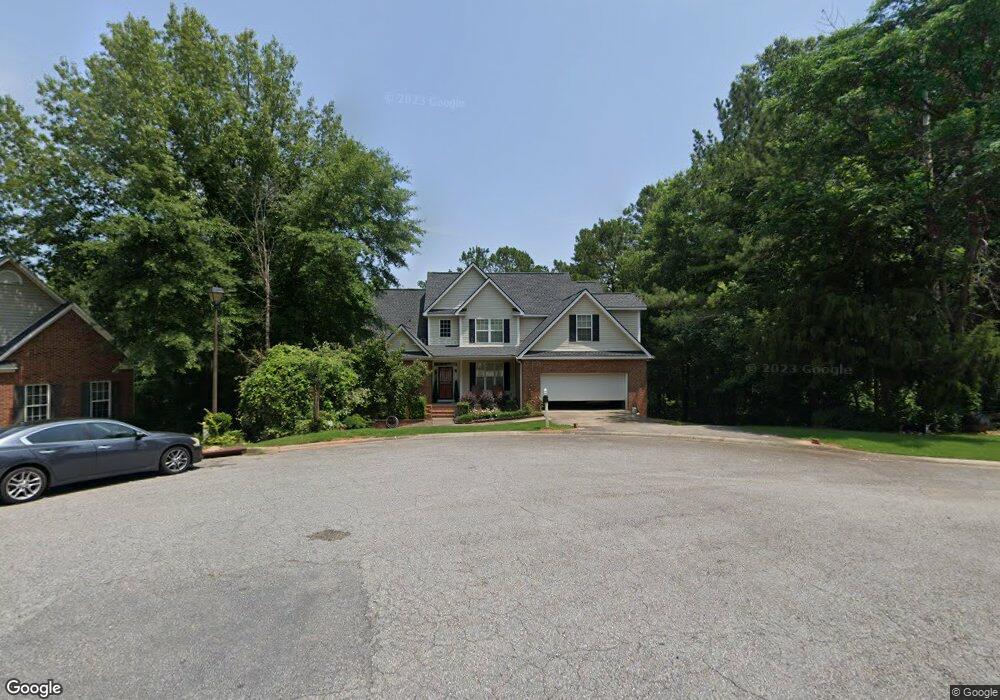
117 Landis Ct Macon, GA 31220
Estimated Value: $273,000 - $297,993
3
Beds
3
Baths
2,148
Sq Ft
$132/Sq Ft
Est. Value
About This Home
This home is located at 117 Landis Ct, Macon, GA 31220 and is currently estimated at $283,748, approximately $132 per square foot. 117 Landis Ct is a home located in Bibb County with nearby schools including Heritage Elementary School, Weaver Middle School, and Westside High School.
Ownership History
Date
Name
Owned For
Owner Type
Purchase Details
Closed on
May 31, 2006
Sold by
Boyd Timothy J and Boyd Amanda M
Bought by
Reddick Marcus D
Current Estimated Value
Home Financials for this Owner
Home Financials are based on the most recent Mortgage that was taken out on this home.
Original Mortgage
$204,150
Outstanding Balance
$117,859
Interest Rate
6.44%
Mortgage Type
New Conventional
Estimated Equity
$165,889
Purchase Details
Closed on
Apr 30, 2004
Create a Home Valuation Report for This Property
The Home Valuation Report is an in-depth analysis detailing your home's value as well as a comparison with similar homes in the area
Home Values in the Area
Average Home Value in this Area
Purchase History
| Date | Buyer | Sale Price | Title Company |
|---|---|---|---|
| Reddick Marcus D | $214,900 | None Available | |
| -- | $209,400 | -- |
Source: Public Records
Mortgage History
| Date | Status | Borrower | Loan Amount |
|---|---|---|---|
| Open | Reddick Marcus D | $204,150 |
Source: Public Records
Tax History Compared to Growth
Tax History
| Year | Tax Paid | Tax Assessment Tax Assessment Total Assessment is a certain percentage of the fair market value that is determined by local assessors to be the total taxable value of land and additions on the property. | Land | Improvement |
|---|---|---|---|---|
| 2025 | $2,810 | $121,342 | $12,000 | $109,342 |
| 2024 | $2,788 | $116,786 | $12,000 | $104,786 |
| 2023 | $2,542 | $92,834 | $6,440 | $86,394 |
| 2022 | $2,586 | $81,708 | $6,072 | $75,636 |
| 2021 | $2,692 | $77,850 | $6,072 | $71,778 |
| 2020 | $2,421 | $69,360 | $6,072 | $63,288 |
| 2019 | $2,034 | $69,360 | $6,072 | $63,288 |
| 2018 | $4,120 | $70,400 | $5,520 | $64,880 |
| 2017 | $2,357 | $62,917 | $4,692 | $58,225 |
| 2016 | $2,177 | $62,917 | $4,692 | $58,225 |
| 2015 | $2,904 | $59,306 | $4,692 | $54,614 |
| 2014 | $2,946 | $60,060 | $4,471 | $55,589 |
Source: Public Records
Map
Nearby Homes
- 111 Fordham Ct
- 102 Fordham Ct
- 157 Greentree Pkwy
- 241 Northridge Dr
- 900 S Plantation Pkwy
- 2186 Natsihi Trail
- 298 Northridge Dr
- 278 Northridge Dr
- 109 Greentree Pkwy
- 1137 N Plantation Pkwy
- 1154 N Plantation Pkwy
- 959 S Confederate Dr
- BEAUMONT Plan at Lochwolde
- ROANOKE Plan at Lochwolde
- BRISCOE Plan at Lochwolde
- 1396 King Arthur Dr
- 1369 King Arthur Dr
- 2037 Greentree Pkwy
- 1422 Trails End Dr
- 305 Mccleary Ln
- 121 Landis Ct
- 120 Landis Ct
- 112 Landis Ct
- 116 Landis Ct
- 109 Landis Ct
- 220 W Springs Dr
- 216 W Spring Dr
- 108 Landis Ct
- 232 W Spring Dr
- 230 W Spring Dr
- 218 W Spring Dr
- 220 W Spring Dr
- 228 W Spring Dr
- 216 W Spring Dr
- 234 W Spring Dr
- 222 W Springs Dr
- 222 W Spring Dr
- 234 W Springs Dr
- 221 W Springs Dr
- 214 W Spring Dr