117 Laurel Ridge Dr Alpharetta, GA 30004
Union Hill NeighborhoodEstimated Value: $768,192 - $920,000
4
Beds
4
Baths
3,228
Sq Ft
$261/Sq Ft
Est. Value
About This Home
This home is located at 117 Laurel Ridge Dr, Alpharetta, GA 30004 and is currently estimated at $844,096, approximately $261 per square foot. 117 Laurel Ridge Dr is a home located in Cherokee County with nearby schools including Free Home Elementary School, Creekland Middle School, and Creekview High School.
Ownership History
Date
Name
Owned For
Owner Type
Purchase Details
Closed on
Oct 28, 2003
Sold by
Hopewell Development Llc
Bought by
Laurel Ridge Community Associati
Current Estimated Value
Purchase Details
Closed on
Sep 18, 2002
Sold by
Riverstone Prop Inc
Bought by
Joc Prop Inc
Purchase Details
Closed on
May 29, 2002
Sold by
Joc Properties Inc
Bought by
Malin Edward and Malin Diane
Purchase Details
Closed on
Jun 26, 2001
Sold by
Hopewell Development Llc
Bought by
Riverstone Properties Inc
Home Financials for this Owner
Home Financials are based on the most recent Mortgage that was taken out on this home.
Original Mortgage
$262,425
Interest Rate
7.18%
Mortgage Type
New Conventional
Create a Home Valuation Report for This Property
The Home Valuation Report is an in-depth analysis detailing your home's value as well as a comparison with similar homes in the area
Home Values in the Area
Average Home Value in this Area
Purchase History
| Date | Buyer | Sale Price | Title Company |
|---|---|---|---|
| Laurel Ridge Community Associati | -- | -- | |
| Joc Prop Inc | $71,000 | -- | |
| Malin Edward | -- | -- | |
| Riverstone Properties Inc | $59,000 | -- |
Source: Public Records
Mortgage History
| Date | Status | Borrower | Loan Amount |
|---|---|---|---|
| Previous Owner | Riverstone Properties Inc | $262,425 |
Source: Public Records
Tax History Compared to Growth
Tax History
| Year | Tax Paid | Tax Assessment Tax Assessment Total Assessment is a certain percentage of the fair market value that is determined by local assessors to be the total taxable value of land and additions on the property. | Land | Improvement |
|---|---|---|---|---|
| 2025 | $1,593 | $293,760 | $60,000 | $233,760 |
| 2024 | $3,459 | $305,080 | $60,000 | $245,080 |
| 2023 | $2,519 | $275,760 | $56,000 | $219,760 |
| 2022 | $2,258 | $226,440 | $48,000 | $178,440 |
| 2021 | $1,781 | $189,400 | $34,400 | $155,000 |
| 2020 | $1,789 | $187,720 | $34,400 | $153,320 |
| 2019 | $1,797 | $185,880 | $34,400 | $151,480 |
| 2018 | $1,453 | $166,320 | $34,400 | $131,920 |
| 2017 | $1,525 | $413,500 | $34,400 | $131,000 |
| 2016 | $1,394 | $394,200 | $36,800 | $120,880 |
| 2015 | $1,353 | $363,300 | $32,000 | $113,320 |
| 2014 | $1,314 | $335,400 | $28,000 | $106,160 |
Source: Public Records
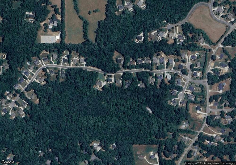
Map
Nearby Homes
- 3280 Hopewell Chase Dr
- 116 Waverly Dr
- 260 Traditions Dr
- 3590 Manor Dr N
- 3580 Manor Dr N Unit LOT 1
- 3590 Manor Dr N Unit LOT 2
- 3580 Manor Dr N
- 2675 Holbrook Campground Rd
- 2687 Holbrook Campground Rd
- 4415 Indian Trace Dr
- 265 Traditions Dr
- 412 Manor Ridge View
- 75 Pruitt Rd
- 277 Traditions Dr
- 715 Creekside Bend
- 5385 Drew Rd
- 212 Silver Birch Ct
- 722 Creekside Bend
- 285 Traditions Dr
- 7380 Bates Dr
- 119 Laurel Ridge Dr
- 0 Laurel Ridge Dr Unit 7426579
- 0 Laurel Ridge Dr Unit 7356673
- 0 Laurel Ridge Dr Unit 7349537
- 0 Laurel Ridge Dr Unit 7009219
- 0 Laurel Ridge Dr Unit 8615965
- 0 Laurel Ridge Dr Unit 8355224
- 0 Laurel Ridge Dr Unit 8322032
- 0 Laurel Ridge Dr Unit 8149142
- 0 Laurel Ridge Dr Unit 8066496
- 0 Laurel Ridge Dr Unit 8279816
- 0 Laurel Ridge Dr
- 115 Laurel Ridge Dr
- 121 Laurel Ridge Dr
- 113 Laurel Ridge Dr
- 114 Laurel Ridge Dr
- 116 Laurel Ridge Dr
- 112 Laurel Ridge Dr
- 111 Laurel Ridge Dr
- 110 Laurel Ridge Dr