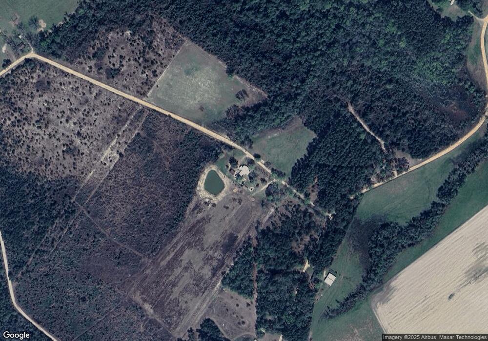
117 Leonard Iddings Rd Reidsville, GA 30453
Estimated Value: $407,000
--
Bed
2
Baths
1,912
Sq Ft
$213/Sq Ft
Est. Value
About This Home
This home is located at 117 Leonard Iddings Rd, Reidsville, GA 30453 and is currently priced at $407,000, approximately $212 per square foot. 117 Leonard Iddings Rd is a home located in Tattnall County with nearby schools including Tattnall County High School.
Ownership History
Date
Name
Owned For
Owner Type
Purchase Details
Closed on
Jun 29, 2022
Sold by
Welch Homer J
Bought by
Terrell Robert
Current Estimated Value
Home Financials for this Owner
Home Financials are based on the most recent Mortgage that was taken out on this home.
Original Mortgage
$391,773
Outstanding Balance
$374,769
Interest Rate
5.75%
Mortgage Type
FHA
Purchase Details
Closed on
Dec 18, 1992
Sold by
Welch Homer John and Doyle Allison W
Bought by
Welch Homer John and Welch Bridget R
Create a Home Valuation Report for This Property
The Home Valuation Report is an in-depth analysis detailing your home's value as well as a comparison with similar homes in the area
Home Values in the Area
Average Home Value in this Area
Purchase History
| Date | Buyer | Sale Price | Title Company |
|---|---|---|---|
| Terrell Robert | $399,000 | -- | |
| Welch Homer John | -- | -- |
Source: Public Records
Mortgage History
| Date | Status | Borrower | Loan Amount |
|---|---|---|---|
| Open | Terrell Robert | $391,773 |
Source: Public Records
Tax History Compared to Growth
Tax History
| Year | Tax Paid | Tax Assessment Tax Assessment Total Assessment is a certain percentage of the fair market value that is determined by local assessors to be the total taxable value of land and additions on the property. | Land | Improvement |
|---|---|---|---|---|
| 2022 | $1,454 | $53,520 | $2,760 | $50,760 |
| 2021 | $1,270 | $48,760 | $2,760 | $46,000 |
| 2020 | $1,271 | $48,760 | $2,760 | $46,000 |
| 2019 | $1,035 | $39,320 | $2,760 | $36,560 |
| 2018 | $1,053 | $39,320 | $2,760 | $36,560 |
| 2017 | $1,035 | $39,320 | $2,760 | $36,560 |
| 2016 | $1,000 | $37,240 | $2,760 | $34,480 |
| 2015 | -- | $37,280 | $2,760 | $34,520 |
| 2014 | -- | $39,520 | $2,760 | $36,760 |
| 2013 | -- | $39,520 | $2,760 | $36,760 |
Source: Public Records
Map
Nearby Homes
- 314 George McLeod Rd
- 00 Bass Rd
- 714 Riverbank Rd
- 90 River Moss Rd
- 239 River Moss Rd
- 1427 & 1427C Magnolia Rd
- 0 River Ridge Rd Unit 10616036
- 1603 Dl Durrence Rd
- 0 Stoney Brook Way Unit 10523300
- Rd
- 0 Robert Chapel Cemetery Rd Unit 10519584
- 1656 To Jones Rd
- 510 Mallory Rd
- 431 Floyd Bland Rd
- 00 St
- 0 Stoney Hill Church Rd Unit 10611264
- 0 Stoney Hill Church Rd Unit 7653853
- 537 Quick Run Rd
- 0 Sam Anderson Rd Unit 10509288
- 220 Strickland St
- 24 Leonard Iddings Rd
- 1357 Dewitt Tatum Rd
- 1330 Dewitt Tatum Rd
- 79 Leonard Iddings Rd
- 1562 Dewitt Tatum Rd
- 891 George McLeod Rd
- 2.01 Ac Cowart Crossing
- 129 Ronnie McLeod Rd
- 558 George McLeod Rd
- 569 Dewitt Tatum Rd
- 411 Dewitt Tatum Rd
- 344 George McLeod Rd
- 0 Mallory Rd and Ryals Bridge Rd Unit 8401658
- LOT 10 Oak Bluff Plantation Rd
- 0 Mallory Rd and Ryals Bridge Rd Unit 7507743
- 0 Hwy 178 Unit 8008855
- 0 Mallory Rd and Ryals Bridge Rd Unit 8103067
- _ River Bluff Dr
- 0 Spike Rd Unit 10320737
- 0 Hwy 178 Unit 14782
