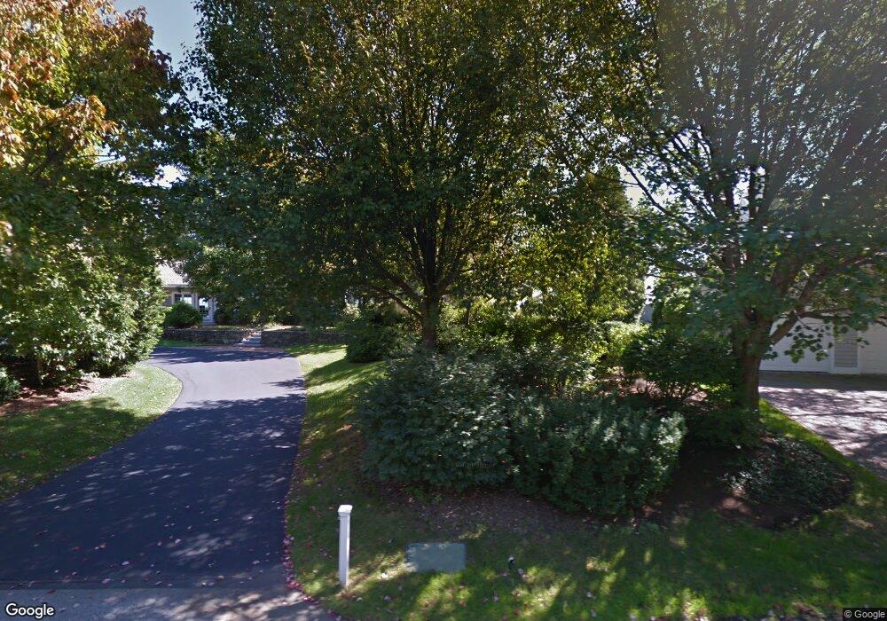
117 Little Harbor Rd New Castle, NH 03854
New Castle Island NeighborhoodEstimated Value: $4,385,000 - $8,322,000
4
Beds
5
Baths
5,689
Sq Ft
$1,045/Sq Ft
Est. Value
About This Home
This home is located at 117 Little Harbor Rd, New Castle, NH 03854 and is currently estimated at $5,946,773, approximately $1,045 per square foot. 117 Little Harbor Rd is a home.
Ownership History
Date
Name
Owned For
Owner Type
Purchase Details
Closed on
Feb 20, 1996
Sold by
N C Wentworth Llc
Bought by
Letendre Evelyn S
Current Estimated Value
Home Financials for this Owner
Home Financials are based on the most recent Mortgage that was taken out on this home.
Original Mortgage
$1,250,000
Outstanding Balance
$40,823
Interest Rate
6.99%
Estimated Equity
$5,905,950
Create a Home Valuation Report for This Property
The Home Valuation Report is an in-depth analysis detailing your home's value as well as a comparison with similar homes in the area
Home Values in the Area
Average Home Value in this Area
Purchase History
| Date | Buyer | Sale Price | Title Company |
|---|---|---|---|
| Letendre Evelyn S | $1,881,200 | -- |
Source: Public Records
Mortgage History
| Date | Status | Borrower | Loan Amount |
|---|---|---|---|
| Open | Letendre Evelyn S | $1,250,000 |
Source: Public Records
Tax History Compared to Growth
Tax History
| Year | Tax Paid | Tax Assessment Tax Assessment Total Assessment is a certain percentage of the fair market value that is determined by local assessors to be the total taxable value of land and additions on the property. | Land | Improvement |
|---|---|---|---|---|
| 2024 | $34,313 | $6,366,100 | $5,044,700 | $1,321,400 |
| 2023 | $31,701 | $6,365,600 | $5,044,700 | $1,320,900 |
| 2022 | $28,645 | $6,365,600 | $5,044,700 | $1,320,900 |
| 2021 | $30,428 | $6,365,600 | $5,044,700 | $1,320,900 |
| 2020 | $24,343 | $3,863,900 | $3,056,300 | $807,600 |
| 2019 | $23,918 | $3,863,900 | $3,056,300 | $807,600 |
| 2018 | $23,183 | $3,863,900 | $3,056,300 | $807,600 |
| 2016 | $22,518 | $3,849,300 | $3,056,300 | $793,000 |
| 2015 | $27,398 | $4,281,000 | $3,483,800 | $797,200 |
| 2014 | $28,255 | $4,281,000 | $3,483,800 | $797,200 |
| 2013 | $27,356 | $4,281,000 | $3,483,800 | $797,200 |
Source: Public Records
Map
Nearby Homes
- 167 Little Harbor Rd
- 163 Little Harbor Rd
- 57 Old Bay Rd
- 18 Mainmast Cir
- 175 Wentworth Rd
- 14 Colonial Ln
- 24 Seabreeze Ln
- 15 Atkinson St
- 17 Elm Ct
- 112 Wentworth Rd
- 267 Pioneer Rd
- 1 Sagamore Grove
- 137 Walker Bungalow Rd
- 1155 Sagamore Ave Unit 2
- 1155 Sagamore Ave Unit 3
- 1155 Sagamore Ave Unit D
- 1155 Sagamore Ave Unit 1
- 4 Sagamore Rd
- 14 Sagamore Rd Unit 3
- 210 South St
- 125 Little Harbor Rd
- 101 Little Harbor Rd
- 114 Little Harbor Rd
- 133 Little Harbor Rd
- 106 Little Harbor Rd
- 170 Little Harbor Rd
- 172 Little Harbor Rd Unit 27-6
- 98 Little Harbor Rd
- 149 Little Harbor Rd
- 90 Little Harbor Rd
- 90 Little Harbor Rd Unit Lot 2
- 81 Little Harbor Rd
- 157 Little Harbor Rd
- 82 Little Harbor Rd
- 11 Marina Heights Rd
- 73 Little Harbor Rd
- 21 Marina Heights Rd
- 21 Marina Heights Rd
- 26 Harborview
