117 Loop Rd West Bath, ME 04530
Estimated Value: $733,000 - $977,000
3
Beds
2
Baths
2,970
Sq Ft
$272/Sq Ft
Est. Value
About This Home
This home is located at 117 Loop Rd, West Bath, ME 04530 and is currently estimated at $807,053, approximately $271 per square foot. 117 Loop Rd is a home located in Sagadahoc County with nearby schools including Morse High School.
Ownership History
Date
Name
Owned For
Owner Type
Purchase Details
Closed on
Sep 19, 2025
Sold by
Norton Ft and Norton
Bought by
Oconnor Fergal and Oconnor Barbara
Current Estimated Value
Home Financials for this Owner
Home Financials are based on the most recent Mortgage that was taken out on this home.
Original Mortgage
$550,000
Outstanding Balance
$549,028
Interest Rate
6.63%
Mortgage Type
New Conventional
Estimated Equity
$258,025
Create a Home Valuation Report for This Property
The Home Valuation Report is an in-depth analysis detailing your home's value as well as a comparison with similar homes in the area
Home Values in the Area
Average Home Value in this Area
Purchase History
| Date | Buyer | Sale Price | Title Company |
|---|---|---|---|
| Oconnor Fergal | $744,999 | -- | |
| Oconnor Fergal | $744,999 | -- |
Source: Public Records
Mortgage History
| Date | Status | Borrower | Loan Amount |
|---|---|---|---|
| Open | Oconnor Fergal | $550,000 | |
| Closed | Oconnor Fergal | $550,000 |
Source: Public Records
Tax History
| Year | Tax Paid | Tax Assessment Tax Assessment Total Assessment is a certain percentage of the fair market value that is determined by local assessors to be the total taxable value of land and additions on the property. | Land | Improvement |
|---|---|---|---|---|
| 2024 | $7,830 | $954,900 | $561,700 | $393,200 |
| 2023 | $6,493 | $954,900 | $561,700 | $393,200 |
| 2022 | $5,511 | $515,000 | $362,000 | $153,000 |
| 2021 | $5,408 | $515,000 | $362,000 | $153,000 |
| 2020 | $5,408 | $515,000 | $362,000 | $153,000 |
| 2019 | $5,408 | $515,000 | $362,000 | $153,000 |
| 2018 | $5,717 | $515,000 | $362,000 | $153,000 |
| 2017 | $5,768 | $515,000 | $362,000 | $153,000 |
| 2016 | $5,253 | $515,000 | $362,000 | $153,000 |
| 2015 | $5,356 | $515,000 | $362,000 | $153,000 |
| 2014 | $5,253 | $515,000 | $362,000 | $153,000 |
| 2013 | $5,227 | $515,000 | $362,000 | $153,000 |
Source: Public Records
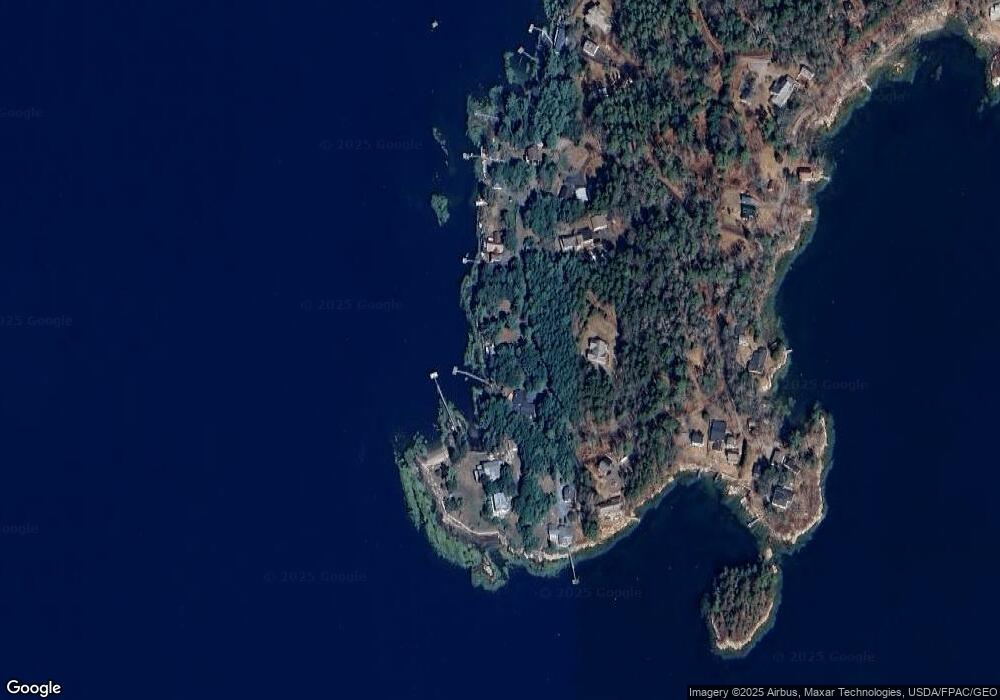
Map
Nearby Homes
- 4 Osprey Ridge Rd
- 15 Church Ln
- 140 Clifford Rd
- 111 Rockweed Rd
- 29 & 30 Nob Hill Ave
- 646 Gurnet Rd
- Lot# 9 Kennebec Shores Rd
- 87 Austin Rd
- 0 Main Rd
- 0 Sebasco Rd
- 0 Victory Ln
- 5 Pearl Dr
- 4 Pearl Dr
- 30 Driftwood Tide Ln
- 17-1 Bald Head Rd
- Lot # 19 Bald Head Rd
- 8 Kimberley Cir
- 53 High St
- 260 Coombs Rd
- 1682 &1676 Main Rd
- 111 Loop Rd
- 131 Loop Rd
- 7 Liza Ln
- 91 Loop Rd
- 586 Birch Point Rd
- 30 Loop Rd
- 75 Loop Rd
- 580 Birch Point Rd
- 566 Birch Point Rd
- 54 Loop Rd
- 71 Loop Rd
- 544 Birch Point Rd
- 65 Loop Rd
- 526 Birch Point Rd
- 522 Birch Point Rd
- 508 Birch Point Rd
- 520 & 522 Birch Point Rd
- 518 Birch Point Rd
- 57 Loop Rd
- 455 Birch Point Rd
Your Personal Tour Guide
Ask me questions while you tour the home.