117 Luke Ln Clinton, AR 72031
Estimated Value: $325,506 - $350,000
Studio
--
Bath
2,856
Sq Ft
$119/Sq Ft
Est. Value
About This Home
This home is located at 117 Luke Ln, Clinton, AR 72031 and is currently estimated at $339,127, approximately $118 per square foot. 117 Luke Ln is a home with nearby schools including Clinton Elementary School, Clinton Junior High School, and Clinton High School.
Ownership History
Date
Name
Owned For
Owner Type
Purchase Details
Closed on
Feb 8, 2017
Sold by
Brown Chadwick and Brown Nickie
Bought by
Gurley Randy and Gurley Laura L
Current Estimated Value
Purchase Details
Closed on
Apr 23, 2015
Sold by
Massey Billy D
Bought by
Brown Chad J and Brown Nickie A
Home Financials for this Owner
Home Financials are based on the most recent Mortgage that was taken out on this home.
Original Mortgage
$83,903
Interest Rate
3.89%
Mortgage Type
Future Advance Clause Open End Mortgage
Purchase Details
Closed on
Mar 23, 2004
Bought by
Brown
Purchase Details
Closed on
Dec 11, 1997
Bought by
Griggs
Create a Home Valuation Report for This Property
The Home Valuation Report is an in-depth analysis detailing your home's value as well as a comparison with similar homes in the area
Home Values in the Area
Average Home Value in this Area
Purchase History
| Date | Buyer | Sale Price | Title Company |
|---|---|---|---|
| Gurley Randy | -- | None Available | |
| Brown Chad J | $50,000 | None Available | |
| Brown | -- | -- | |
| Griggs | -- | -- |
Source: Public Records
Mortgage History
| Date | Status | Borrower | Loan Amount |
|---|---|---|---|
| Previous Owner | Brown Chad J | $83,903 |
Source: Public Records
Tax History
| Year | Tax Paid | Tax Assessment Tax Assessment Total Assessment is a certain percentage of the fair market value that is determined by local assessors to be the total taxable value of land and additions on the property. | Land | Improvement |
|---|---|---|---|---|
| 2025 | $1,968 | $57,300 | $5,920 | $51,380 |
| 2024 | $1,375 | $39,890 | $5,920 | $33,970 |
| 2023 | $1,450 | $39,890 | $5,920 | $33,970 |
| 2022 | $1,500 | $39,890 | $5,920 | $33,970 |
| 2021 | $1,500 | $39,890 | $5,920 | $33,970 |
| 2020 | $1,500 | $39,890 | $5,920 | $33,970 |
| 2019 | $1,531 | $40,560 | $5,920 | $34,640 |
| 2018 | $1,556 | $40,560 | $5,920 | $34,640 |
| 2017 | $1,898 | $40,560 | $5,920 | $34,640 |
| 2015 | -- | $39,050 | $5,060 | $33,990 |
| 2014 | -- | $39,050 | $5,060 | $33,990 |
| 2013 | -- | $39,050 | $5,060 | $33,990 |
Source: Public Records
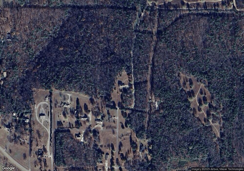
Map
Nearby Homes
- 240 Huie St
- 229 Richard St
- 0000 Highway 65 S
- 0 Highway 65 S Unit 20037632
- 2304 Highway 65 S
- 936 Cemetery Rd
- 799 Barrens Community Rd
- 3570 Highway 65 S
- TBD Highway 65
- 1174 Highway 65 S
- TBD Adrianne Ave
- 4971 Highway 65
- 2 acres Highway 65
- Lots 9 &10 Kip Ln
- Clinton Kip Ln
- Clinton Kip Ln
- 155 Edwards St
- 4263 Highway 65 S
- 127 Gary St
- 176 W James Rd
- 345 Nickie Ave
- 207 Tomi Ln
- 213 Tomi Ln
- 371 Kali Dr
- 0 Tomi Ln Unit 15005100
- 172 Tomi Ln
- 245 Nickie Ave
- 304 Nickie Ave
- 567 Kali Dr
- 243 Nickie Ave
- 222 Nickie Ave
- 116 Kali Dr
- 547 Highway 95 E
- 473 Highway 95 E
- 833 Highway 95 E
- 184 Imogene Dr
- 276 Edgewood Dr
- 640 Highway 95 E
- 418 Imogene Dr
- 600 Highway 95 E